List of rivers of Florida: overview, regions, and significance
An organized guide to Florida's rivers: types, regional examples, history, uses and conservation, with representative lists of major rivers across the state.
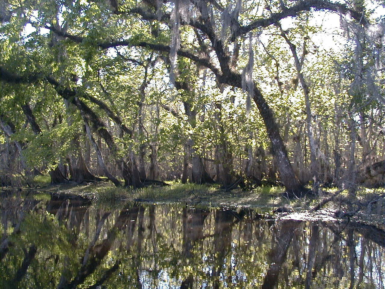
Florida's rivers form an intricate network of freshwater systems that drain to both the Gulf of Mexico and the Atlantic Ocean. Many are spring-fed, some are blackwater rivers flowing through swamps, and others run as coastal or tidal streams. These rivers and waterways shape the ecology and human settlement of Florida.
Characteristics vary widely. Spring-fed rivers often have clear water and stable temperatures fed by the Floridan aquifer; blackwater rivers carry tannins from decaying vegetation and are darker and acidic. Estuaries and tidal reaches support productive fisheries and nurseries for marine species. River systems also connect lakes, wetlands and the Everglades, influencing regional hydrology and groundwater recharge.
Image gallery
9 Images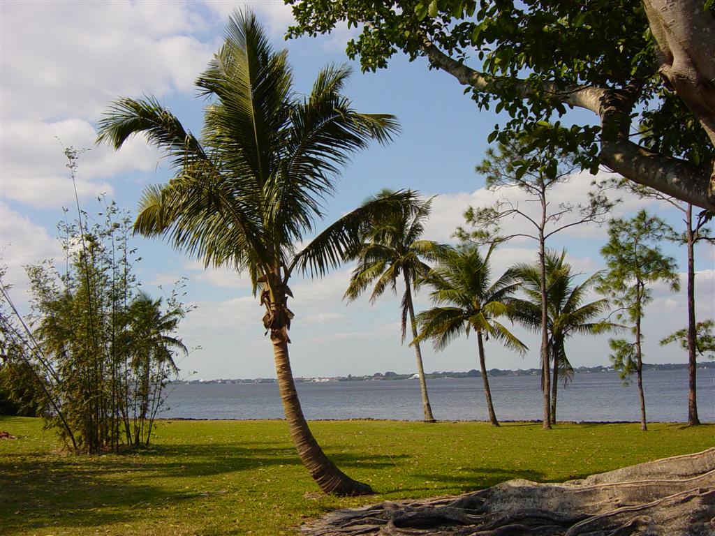


Rivers by region
- Panhandle and northwest: Apalachicola, Chattahoochee (border), Escambia, Choctawhatchee, Ochlockonee.
- North and northeast: Suwannee, St. Marys (border with Georgia), St. Johns, St. Marks, Withlacoochee (note: there are two rivers with this name in the state).
- Central Florida: Kissimmee, Ocklawaha, Hillsborough, Alafia, Withlacoochee (central form), Peace.
- South and peninsula: Caloosahatchee, Miami, New River, Loxahatchee, Manatee, Myakka; the Everglades functions as a broad southward flow of water rather than a single channel.
History and human use: Native American populations relied on rivers for food and travel long before European contact. Rivers later served as corridors for exploration, steamboat commerce and early settlement. In the 20th century, drainage, flood control and urban growth altered many waterways, prompting modern restoration and management programs.
Importance and conservation: Florida's rivers supply drinking water, support recreation—boating, fishing, paddling—and sustain coastal fisheries. Current concerns include nutrient pollution, habitat loss, altered flows from development and groundwater withdrawals. Efforts to restore natural flow, protect springs, improve water quality and reconnect wetlands are ongoing topics in state and regional conservation planning.
Notable distinctions: some rivers flow predominantly north to south, others east to west; a few form state borders. Several rivers are known for unique ecological communities, scenic paddling opportunities and spring systems that are regionally significant for biodiversity and tourism.
Related articles
Author
AlegsaOnline.com List of rivers of Florida: overview, regions, and significance Leandro Alegsa
URL: https://en.alegsaonline.com/art/125002