Rivers of Brunei — major waterways and their roles
Overview of Brunei's principal rivers (Brunei, Belait, Tutong, Temburong), their geography, ecological and economic importance, human settlements, and distinguishing features.
Brunei, a small nation on the island of Borneo, is crossed by a network of rivers that shape its landscape, settlements and coastal wetlands. Although modest in length compared with the great rivers of Southeast Asia, Brunei's waterways are central to transport, traditional settlements and ecology. Several principal rivers and numerous smaller tributaries drain the country’s four districts and empty into Brunei Bay and adjacent coastal waters.
Image gallery
1 Image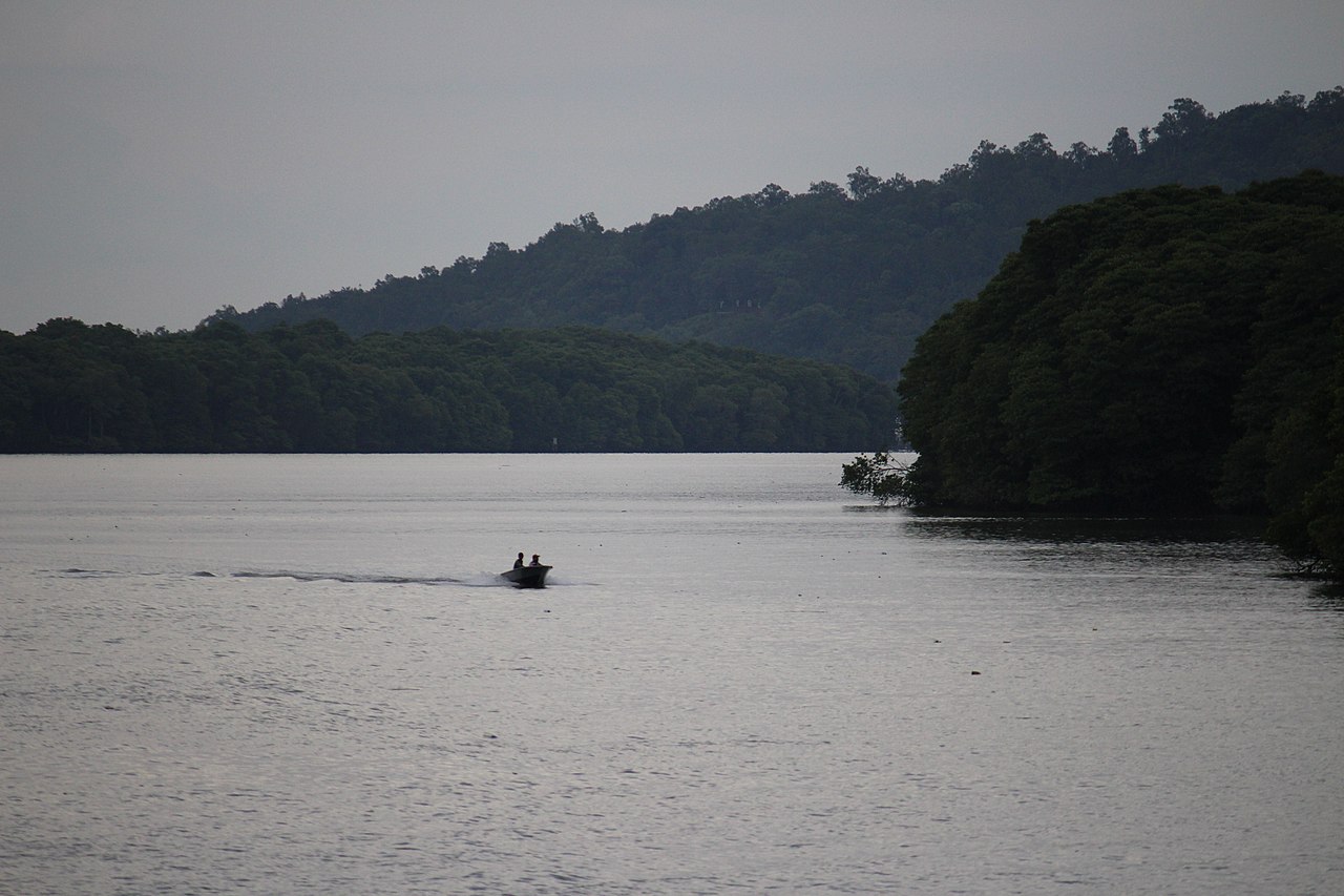
Major rivers
- Brunei River — runs by the capital, Bandar Seri Begawan, and is home to the famous Kampong Ayer water village and urban riverfronts.
- Belait River — a principal river in the Belait District; the towns of Kuala Belait and the oil town of Seria lie within its basin and coastal plain.
- Tutong River — drains the Tutong District and passes through coastal and rural communities, including the town of Tutong.
- Temburong River — flows through the forested, less developed Temburong District, an eastern exclave separated from the Brunei mainland by Malaysian territory.
Beyond these main channels, Brunei contains numerous smaller streams and tributaries that feed the primary rivers and support mangrove swamps and peatlands along the coast. Urban tributaries such as the Sungai Kedayan feed directly into the Brunei River around the capital.
Geography and environment
The rivers of Brunei generally run from higher interior terrain northward to coastal estuaries. Estuarine zones feature mangrove forests and tidal flats that provide habitat for fish, birds and crustaceans, and act as natural buffers against storms and erosion. In upstream reaches, especially in Temburong, rivers pass through extensive tropical rainforest and are important for freshwater biodiversity.
Human use, history and settlements
Historically, rivers were the principal arteries of movement and trade; many long-established villages and the capital grew along riverbanks. Kampong Ayer, the large stilt village on the Brunei River, exemplifies a riverine way of life. Rivers also supported the development of resource industries; the Belait basin includes towns associated with Brunei’s petroleum sector. Today these waterways remain important for local transport, fishing, recreation and as focal points for urban development.
Challenges and conservation
Urbanization, land conversion, and infrastructure development can affect water quality, mangrove extent and riverine habitats. Flooding and sedimentation are local concerns in low-lying coastal districts. Conservation efforts focus on protecting mangroves, maintaining freshwater quality and balancing development with the ecological functions of river systems.
For a concise enumeration and further local names, see the List of rivers in Brunei.
Related articles
Author
AlegsaOnline.com Rivers of Brunei — major waterways and their roles Leandro Alegsa
URL: https://en.alegsaonline.com/art/124980