
Highest points of Italy’s regions
Overview and explanation of the highest natural elevations found in each of Italy’s 20 regions, with examples, geographic patterns, and notes on border peaks and measurement.
Overview
Italy’s twenty administrative regions span a wide variety of landscapes, from the high peaks of the Alps to the volcanic summits of Sicily and the rolling hills of the Apennines. Each region has a highest natural point — a summit, ridge or volcanic cone that marks the topographic maximum of that territory. Comparing these high points highlights the contrast between alpine and coastal areas and shows how geology and tectonics shape regional relief.
Image gallery
4 Images


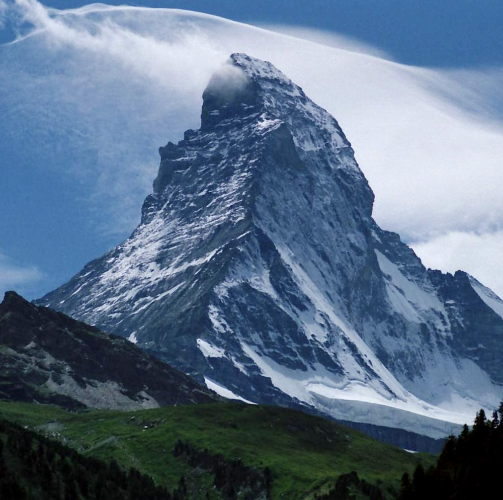
How the ranking is defined
When listing regions by highest point, the usual criterion is the maximum elevation above sea level within the political boundary of the region. Many high points are clear single summits; in some cases the highest ground lies along a mountain ridge that forms an international border. For those border summits, the peak may be shared with a neighboring country. Elevation values can vary slightly between map sources and surveys, so authoritative compilations and government maps are often cited for precise figures. For a full tabulated listing consult the referenced source below.
Geographic patterns and distinctions
The highest regional elevations concentrate in two major mountain systems: the Alps in northern Italy and the Apennines that run along the peninsula. Regions in the far north — for example the autonomous mountain regions — generally contain the country’s loftiest summits. Central regions tend to have prominent Apennine peaks, while many southern and island regions are characterized by volcanic cones or lower mountain massifs. Coastal and largely plain regions have modest maxima compared with alpine areas.
Selected notable regional high points
- Valle d'Aosta (Aosta Valley) — Monte Bianco (Mont Blanc), the highest mountain in the Western Alps, is the region’s and Italy’s highest massif on the Italian side.
- Trentino–Alto Adige / Südtirol — the Ortler (Ortles) massif is the dominant peak of this alpine region.
- Abruzzo — Corno Grande in the Gran Sasso massif is the highest point of the central Apennines and a landmark of the region.
- Sicily — Mount Etna, a large active volcano on the island, is Sicily’s highest and most prominent feature.
- Sardinia — Punta La Marmora in the Gennargentu range is the island’s highest summit and notable for its distinct geology compared with the mainland ranges.
Uses, importance and notable facts
Regional highest points are used in physical geography, mapmaking, environmental planning and outdoor recreation. They often serve as destinations for mountaineering, hiking and scientific monitoring (for example, of glaciers and volcanic activity). Some high points lie on political borders, which can complicate claims about “highest point in Italy” when a summit is shared; such cases are usually resolved by referencing the peak’s position relative to national boundaries and by citing official cartography. For a complete table of each Italian region with its highest point and associated details see the compiled list at the regional high points resource.
Related articles
Author
AlegsaOnline.com Highest points of Italy’s regions Leandro Alegsa
URL: https://en.alegsaonline.com/art/124767
Sources
- peakbagger.com : "Italy Region High Points"