Boa Vista (Roraima) — capital city in northern Brazil
Boa Vista, capital of Roraima in northern Brazil, sits on the Branco River. A planned urban center and regional hub, it combines administrative functions, market activity, and proximity to Amazonian landscapes.
Overview
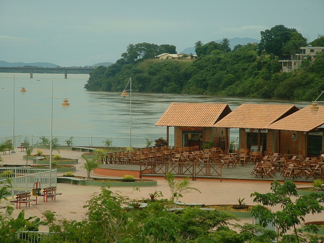
Boa Vista is the principal city and administrative seat of the state of Roraima in northern Brazil. Located on the banks of the Branco River, it serves as the region's largest urban center and a gateway to surrounding Amazonian and savanna landscapes. Population and area figures have varied over recent decades, with official estimates produced by institutions such as IBGE.

Image gallery
10 Images


Geography and layout
The municipality covers a broad area that includes urban neighborhoods and rural zones. The city itself is notable for a relatively regular street plan, public squares and green corridors that contrast with nearby forested and savanna environments. The Branco River shapes local recreation, transport and riverside occupation.
History and development
Boa Vista grew from a frontier settlement into the political and economic center of Roraima during the 20th century. Its expansion reflects migration from other parts of Brazil and development tied to regional administration, commerce and cross-border connections with neighboring countries.
Economy, culture and points of interest
As a state capital, public administration and services are important employers. Commerce, education and transport also sustain the local economy. Cultural life blends urban Brazilian traditions with influences from indigenous peoples and nearby international borders. Visitors encounter municipal parks, riverfront promenades and local markets.
Notable aspects
- Role as Roraima's administrative and logistical hub.
- Proximity to Amazonian ecosystems and unique natural attractions.
- Urban planning that emphasizes public spaces and river access.

For further statistical or administrative details, consult official state and national sources via the links above.
Tags
Related articles
Author
AlegsaOnline.com Boa Vista (Roraima) — capital city in northern Brazil Leandro Alegsa
URL: https://en.alegsaonline.com/art/12446