Birs — River of the Swiss Jura
The Birs is a roughly 73 km river in the Swiss Jura that flows north to join the Rhine between Basel and Birsfelden; important for regional landscapes, history, and recreation.
The Birs (French: Birse) is a notable river in the northwestern Swiss Jura. Running for about 73 kilometres, it drains portions of the Jura plateau and descends toward the Upper Rhine plain. The river is commonly described as the most important watercourse of the Swiss Jura because of its length, valley landscapes and regional role.
Image gallery
10 Images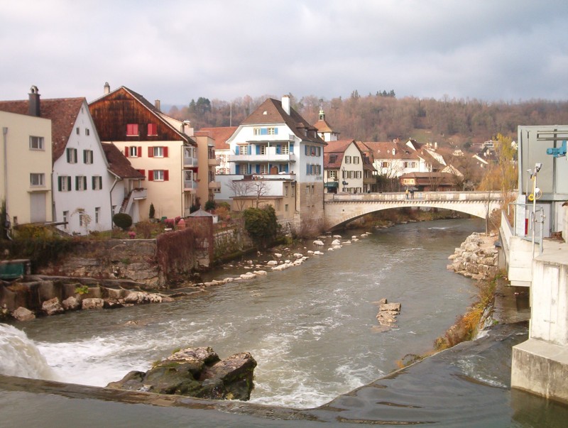


Course and setting
The Birs rises in the higher ground of the Jura mountains and flows generally northward through rural and small urban areas before reaching the Rhine. In its final stretch it enters the Rhine between the city of Basel and the municipality of Birsfelden. The entire river lies within Switzerland and contributes to the larger Rhine watershed (Rhine).
Characteristics
- Length: approximately 73 km.
- Landscape: cuts through a mix of forested Jura ridges, agricultural valleys and small towns.
- Hydrology: seasonal flow variation is typical, with higher discharge in spring from snowmelt and after heavy rain.
The Birs has shaped local valleys and supported traditional activities such as small-scale milling and craft industries. Along its banks there are trails and green corridors used for walking, cycling and local nature observation.
Ecology and human use
Ecologically, the river corridor hosts riparian vegetation and provides habitat for freshwater species typical of Swiss lowland and Jura streams. Human interaction with the Birs ranges from historical water-powered industry to modern river management for flood protection, habitat conservation and recreation. Urban sections near its mouth reflect the transition from rural headwaters to densely settled floodplain.
As a regional landmark, the Birs plays a role in local identity and land use planning. For further general information, consult regional resources and maps that cover Swiss rivers and the Rhine basin.
Related articles
Author
AlegsaOnline.com Birs — River of the Swiss Jura Leandro Alegsa
URL: https://en.alegsaonline.com/art/11754