Wasatch Mountains: Geography, ecology, and human use
Mountain range running ~160 miles from the Utah–Idaho border south through central Utah; important for water, recreation, ecology, and regional climate.
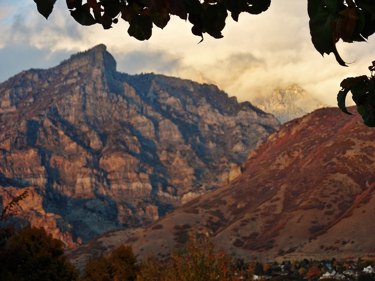
The Wasatch Mountains, often called the Wasatch Range, form a prominent north–south spine along the eastern edge of Utah. Stretching roughly 160 miles, they rise steeply from surrounding valleys and define much of the landscape and climate of the region. For an overview map and basic facts, see Wasatch Range overview.
Image gallery
10 Images


Geography and principal features
The range extends from the Utah–Idaho border south through central Utah. High ridges and multiple parallel forks create a long, narrow zone of peaks and canyons that separate the Great Basin to the west from the Colorado Plateau and interior basins to the east. Several summits and canyon systems collect snowfall that feeds rivers and reservoirs used downstream. For regional context, consult regional maps.
Characteristics and geology
- Steep fault-block topography produced by tectonic uplift and normal faulting.
- Bedrock includes sedimentary and metamorphic units with younger volcanic and glacial features in places.
- Heavy winter snowfall at higher elevations supports glaciers in the geological past and a contemporary snowpack important for water supply.
Geologic processes over millions of years have raised the range and carved deep canyons. Glaciation and erosion shaped many cirques and moraines that are visible today.
Ecologically, the Wasatch supports distinct zones from arid foothills and sagebrush, through conifer forests, to alpine meadows. These habitats host wildlife species adapted to steep terrain and seasonal snow. The mountains also form a crucial watershed, supplying municipal and agricultural water to nearby communities. For more on habitat and management, see conservation resources.
Human uses include indigenous cultural connections, historic mining and settlement, modern water management, and extensive recreation. The Wasatch are renowned for skiing, hiking, and canyoneering; many communities rely on tourism and outdoor industries. Conservation concerns include wildfire, development pressure, water demand, and the effects of climate variability. Additional policy and planning information is available at regional planning resources.
Related articles
Author
AlegsaOnline.com Wasatch Mountains: Geography, ecology, and human use Leandro Alegsa
URL: https://en.alegsaonline.com/art/106653