
Wangdue Phodrang District
Wangdue Phodrang is a large central district (dzongkhag) of Bhutan, notable for diverse landscapes, the Phobjikha valley crane reserve, historic dzong architecture, and 15 local gewogs administered from Wangdue town.
Overview
Wangdue Phodrang is one of Bhutan's twenty districts (dzongkhags), located in the central part of the kingdom. Its administrative centre is the town of Wangdue Phodrang, and its approximate location is shown at 27.500°N, 90.167°E. The district forms a transition zone between lowland river valleys and higher Himalayan ridges and plays an important role in regional transport and administration within Bhutan.
Image gallery
3 Images
Geography and environment
The landscape ranges from broad river valleys to steep forested slopes and upland basins. Major waterways and tributaries cut through the district, shaping agricultural valleys used for rice, potatoes and other crops. High-altitude areas include glacial-fed basins and alpine meadows that shelter rare wildlife. A globally known part of the district is the Phobjikha (Gangtey) Valley, a wintering ground for black-necked cranes and a center for conservation and ecotourism.
Administration and local divisions
Wangdue Phodrang is administratively divided into 15 gewogs, or village blocks, governed from the dzongkhag headquarters in Wangdue town. These gewogs combine to manage rural services, agriculture, local roads and community development. Examples of well-known localities include the Gangtey/Phobjikha area, notable for its monastery and crane habitat.
History and culture
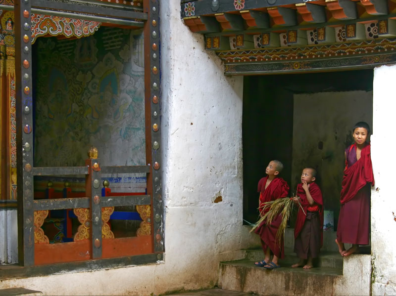
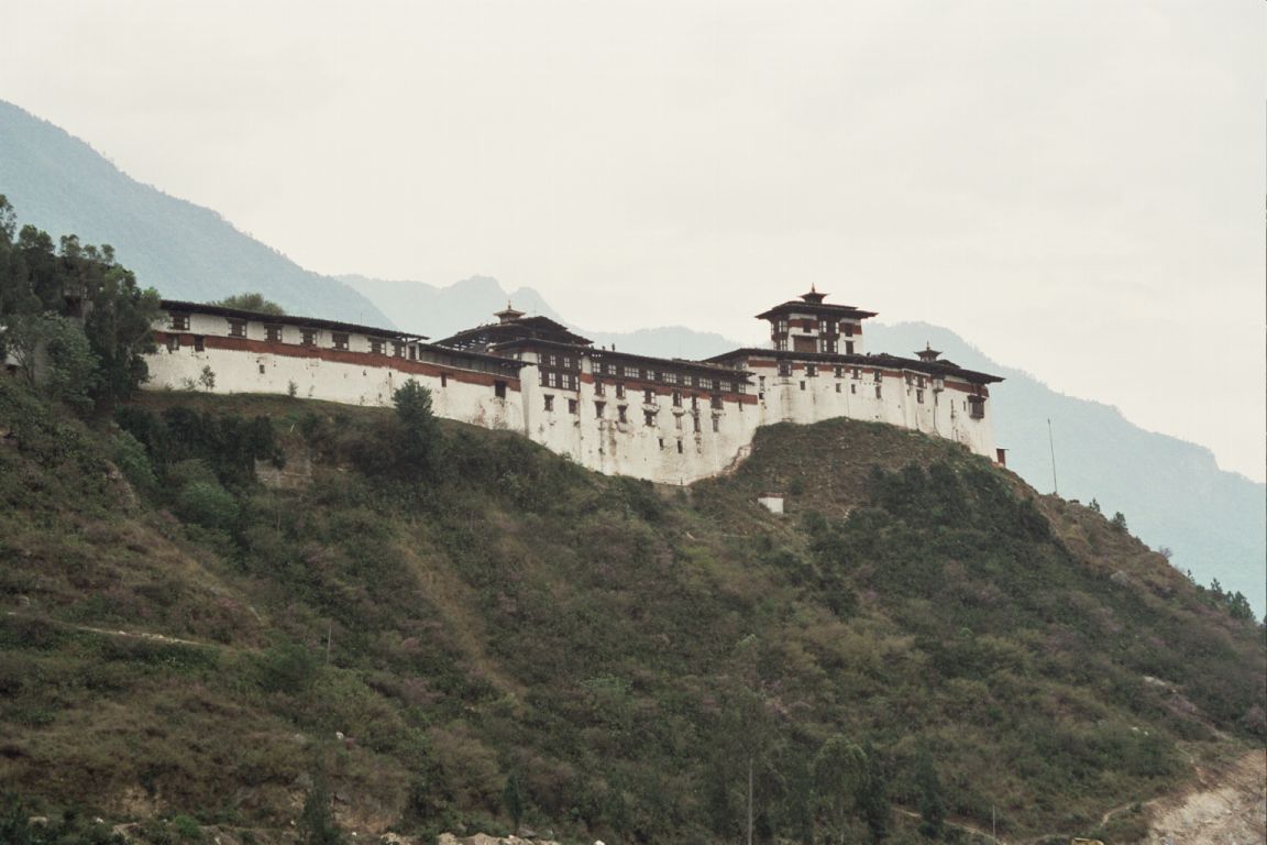
The district's name and central dzong reflect Bhutan's traditional system of fortress-monasteries. The historic Wangdue Phodrang Dzong dates to the 17th century and has served as an administrative and religious center. Parts of the dzong were severely damaged by a fire in recent years and have been the focus of restoration efforts. The area also hosts monasteries, seasonal festivals and a living rural culture tied to Buddhism and traditional agriculture.
Economy, transport and significance
Local livelihoods largely depend on agriculture, animal husbandry, forestry and growing tourism tied to scenic valleys and cultural sites. A national highway and connecting roads cross the district, making it a transit zone between western and central Bhutan. Conservation initiatives, particularly around the Phobjikha Valley and the protection of the black-necked crane, contribute to the district's national and international profile.
Notable facts
- Hosts the Phobjikha/Gangtey area, an important crane wintering site and ecotourism destination.
- Contains historic dzong architecture and living monastic institutions central to local identity.
- Administratively composed of 15 gewogs that manage rural governance and services.
Questions and answers
Q: What is Wangdue Phodrang District?
A: Wangdue Phodrang District is one of the 20 districts in Bhutan.
Q: Where is Wangdue Phodrang District located?
A: The district is located at 27.500°N 90.167°E in Bhutan.
Q: What is the administrative center of Wangdue Phodrang District?
A: The administrative center of Wangdue Phodrang District is Wangdue Phodrang.
Q: How many village blocks are there in Wangdue Phodrang District?
A: There are 15 village blocks in Wangdue Phodrang District.
Q: What is the significance of the coordinates given for Wangdue Phodrang District?
A: The coordinates given for Wangdue Phodrang District describe its location on the earth's surface.
Q: What is the size of Wangdue Phodrang District?
A: The size of Wangdue Phodrang District is not given in the text.
Q: Is Wangdue Phodrang District a densely populated region?
A: The population density of Wangdue Phodrang District is not mentioned in the text.
Related articles
Author
AlegsaOnline.com Wangdue Phodrang District Leandro Alegsa
URL: https://en.alegsaonline.com/art/106448