U.S. Route 9
U.S. Route 9 is a north–south United States highway running from Laurel, Delaware, through New Jersey and New York, to Champlain near the U.S.–Canada border. It serves urban, suburban and coastal corridors.
Overview
U.S. Route 9 is a long north–south highway in the eastern United States that connects the Delmarva Peninsula to the Canadian border region. It begins in Laurel, Delaware, continues through New Jersey and New York, and terminates near Champlain close to the United States–Canada border. The route is part of the broader U.S. Highway network and serves a mix of rural, suburban and urban areas.
Image gallery
8 Images


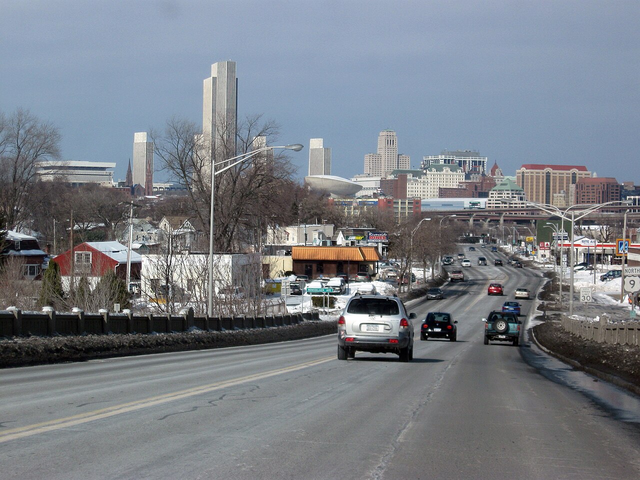

Route and characteristics
US 9 traverses a variety of landscapes. South of New Jersey it crosses coastal plains and agricultural areas, while along the Jersey Shore it often serves resort towns and seasonal traffic. As it approaches and passes through New York City, segments function as urban avenues, with multiple intersections and transit connections. Farther north the road becomes a regional corridor linking towns and small cities toward the northern border.
History and development
The route has roots in older colonial and state roads that predated the automobile era. Like many numbered U.S. routes, US 9 was assigned during the early development of the national highway system in the 20th century and has been upgraded in places to divided or limited-access standards. States maintain their portions of the highway, and changes over time reflect evolving travel patterns, coastal development and suburbanization.
Uses and significance
US 9 plays several roles: it is a commuter link for suburbs and cities, a freight and local-access road for coastal communities, and a tourism corridor to beaches and recreational areas. Its passage through dense metropolitan areas and quieter rural stretches makes it important for regional connectivity and economic activity, especially where it ties into interstates and other major routes.
Related routes and cultural notes
There are closely related alignments and spurs that share the 9 designation in parts of New York, providing alternatives on different sides of the Hudson River. US 9 also appears in popular culture and regional identity; for example, it is referenced in songs by Bruce Springsteen, reflecting its presence along the Jersey coastal landscape. Travelers should note that conditions, lane counts and speed limits vary significantly along the corridor.
Quick facts
- Start: Laurel, Delaware
- States: Delaware, New Jersey, New York
- End: Champlain area, near the United States–Canada border
- Notable places: Jersey Shore, New York City
- Cultural reference: songs by Bruce Springsteen
For travel planning and detailed, up-to-date road information consult state transportation departments or regional maps; this article provides a general portrait of a highway that connects coastal, urban and northern frontier communities as part of the larger U.S. Highway framework.
Related articles
Author
AlegsaOnline.com U.S. Route 9 Leandro Alegsa
URL: https://en.alegsaonline.com/art/102454
Sources
- us-highways.com : US Highways From US 1 to US 830
- deldot.gov : deldot.gov/information/pubs_forms/manuals/traffic_counts/2006/pdf/rpt_pgs1_38_rev.pdf
- state.nj.us : "US 9 straight line diagram"
- nysdot.gov : "2008 Traffic Volume Report for New York State"