Spitsbergen: Svalbard’s Largest Island in the High Arctic
Spitsbergen is Svalbard’s largest island in the High Arctic, featuring rugged mountains, glaciers and fjords and hosting settlements like Longyearbyen, Barentsburg and scientific research outposts.
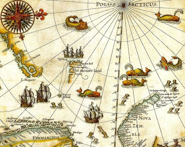
Spitsbergen (also spelled Spitzbergen) is the largest island of the archipelago known as Svalbard. Located in the Arctic Ocean north of mainland Norway, Spitsbergen stretches roughly 380 kilometres from north to south and about 220 kilometres at its widest, with a total land area of approximately 39,000 square kilometres. Until 1965 the island was commonly referred to as West Spitsbergen; the name East Spitsbergen was at one time proposed for the third-largest island in the group, Edgeøya.
Image gallery
10 Images


Geography and climate
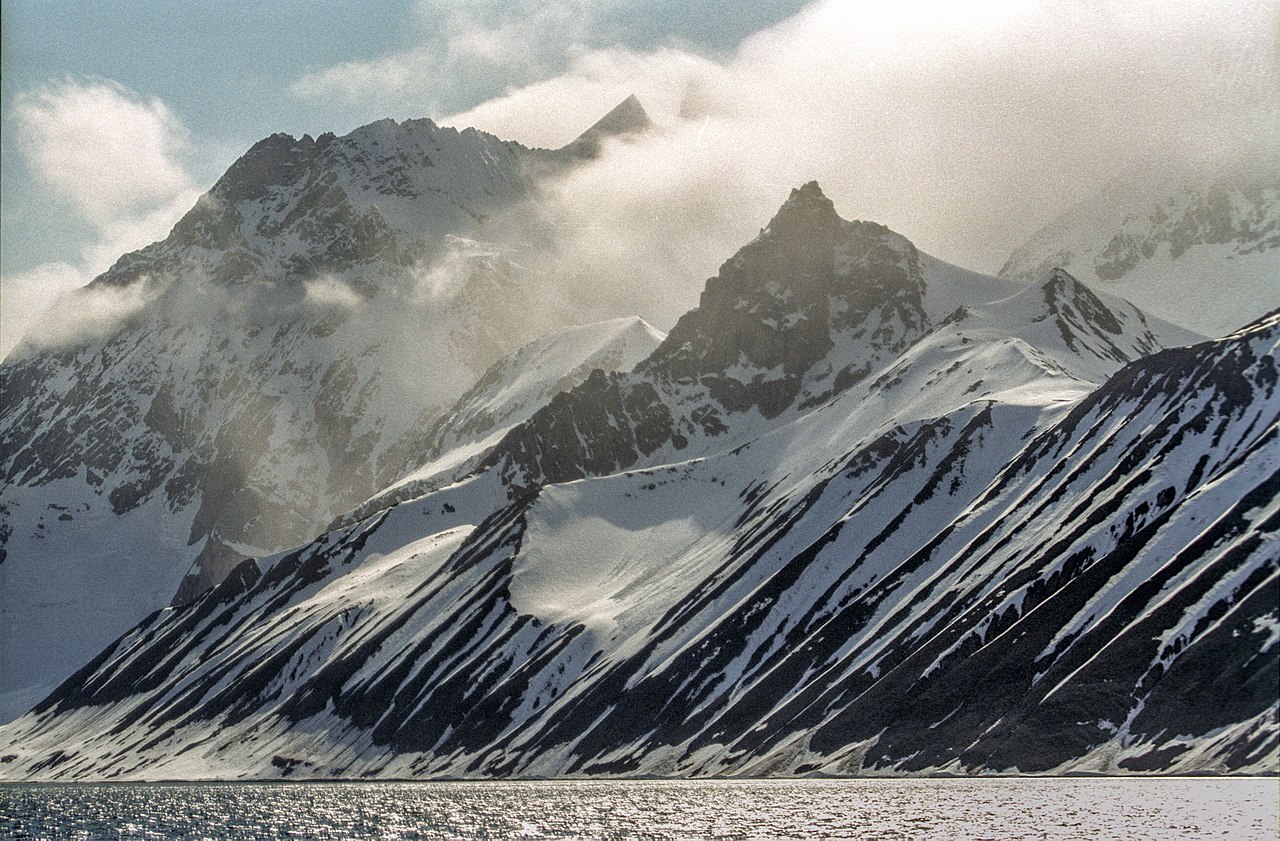
Spitsbergen features rugged mountains, extensive glaciers, and a coastline broken by fjords. Its high Arctic location produces a cold climate with long, dark winters and short summers. Much of the island is covered by ice or tundra vegetation; human activity is concentrated in a few coastal settlements.
Settlements
Most of Svalbard’s permanent population lives on Spitsbergen; other islands in the archipelago have no year-round communities. Settlements on Spitsbergen are small and their populations change with seasons and economic activity. Notable inhabited places include:
- Barentsburg — a Russian mining settlement with a few hundred residents.
- Longyearbyen — the largest town and administrative centre, home to a couple of thousand people and services for the whole archipelago.
- Ny-Ålesund — a research and monitoring community with only a few dozen year-round inhabitants, increasing during the summer research season.
- Sveagruva (Svea) — a coal-mining site that historically had several hundred workers, though numbers have varied with mining operations and many staff have commuted from Longyearbyen.
Several other former settlements and mining camps on Spitsbergen were abandoned as operations ceased or were consolidated.
Questions and answers
Q: What is Spitsbergen?
A: Spitsbergen is the largest island of the archipelago Svalbard.
Q: What was Spitsbergen originally called?
A: Spitsbergen was originally called West Spitsbergen until 1965.
Q: Is Spitsbergen permanently settled?
A: Yes, Spitsbergen is the only island on Svalbard that is settled permanently.
Q: What is the size of Spitsbergen?
A: Spitsbergen has a size of about 380 kilometres by 220 kilometres.
Q: What are some active settlements on Spitsbergen?
A: Some active settlements on Spitsbergen include Barentsburg, Longyearbyen, Ny-Ålesund, and Sveagruva.
Q: How many people live in Longyearbyen?
A: About 2,500 people live in Longyearbyen, the main settlement on Spitsbergen.
Q: Are there any abandoned settlements on Spitsbergen?
A: Yes, there are several abandoned settlements on Spitsbergen.
Related articles
Author
AlegsaOnline.com Spitsbergen: Svalbard’s Largest Island in the High Arctic Leandro Alegsa
URL: https://en.alegsaonline.com/art/92732