Schattenhalb — municipality in the Bernese Oberland, Switzerland
Schattenhalb is a German-speaking municipality in the Interlaken-Oberhasli district of the canton of Bern, Switzerland, known for rural landscapes, mountain access and local services.
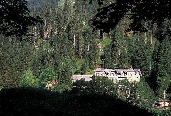
Schattenhalb is a municipality in the administrative district of Interlaken-Oberhasli in the canton of Bern, in Switzerland. It lies within the Bernese Oberland region and is part of the network of small municipalities that connect valley settlements to alpine terrain. The community has a rural character with settlements, forested slopes and mountain pastures nearby.
Image gallery
6 Images


Geography and environment
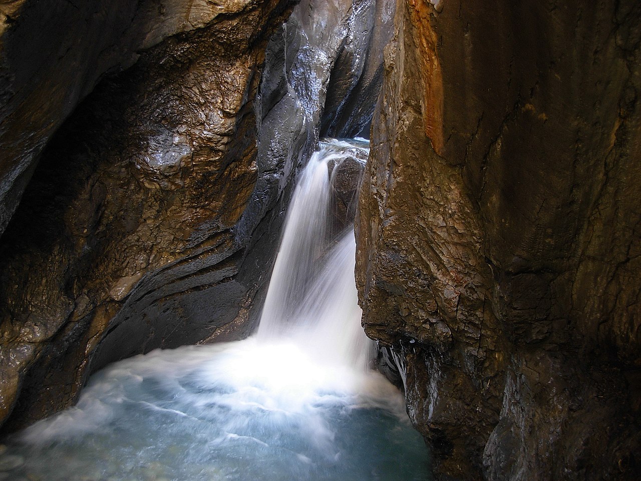
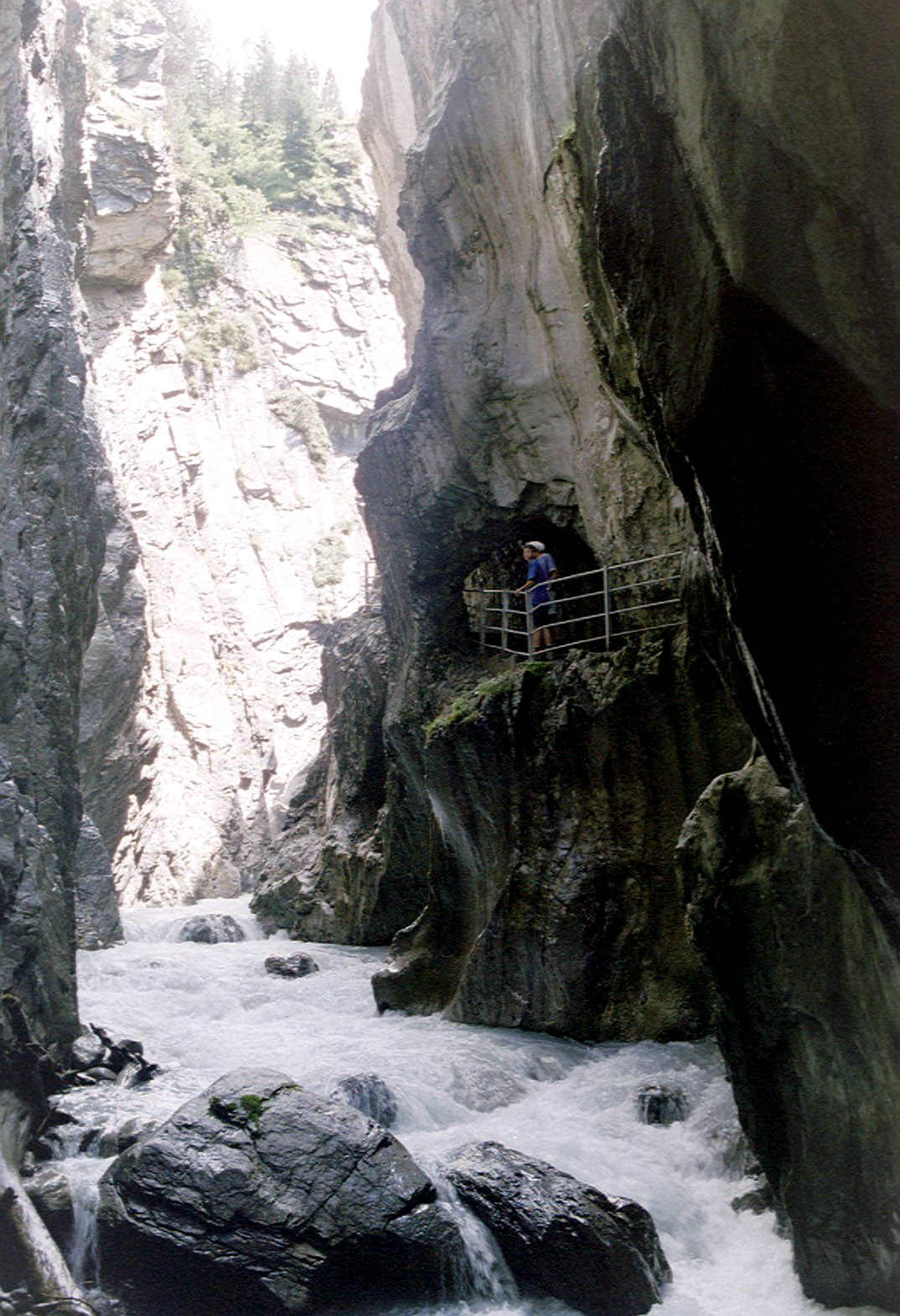
Schattenhalb occupies a mix of valley floor and hillside. Typical features include mixed woodland, meadows used for grazing, and access routes toward higher alpine areas. The landscape supports recreational walking, local agriculture and seasonal outdoor activities, while remaining close to larger tourist corridors in the Bernese Alps.
Language, government and services
The predominant language is German (Swiss varieties are commonly spoken). As a Swiss municipality it is governed by a local council and mayor within cantonal and federal frameworks; municipal responsibilities typically include local planning, schooling at primary level, and communal services.
Economy and recreation
Local economic activity is a mix of agriculture, small businesses and services that support residents and visitors. Proximity to alpine scenery makes Schattenhalb a base for hiking, nature observation and short excursions; nearby transport links connect it to larger towns and regional attractions.
History and notable facts
The municipality shares the historical development common to many Bernese Oberland communities: long-standing rural settlement, seasonal alpine farming, and integration into modern cantonal administration. Since administrative reforms in the canton of Bern, Schattenhalb has been part of the Interlaken-Oberhasli administrative district, which organizes regional planning and services.
Practical information
- Language: German (local dialects prevalent)
- Administration: municipality within Interlaken-Oberhasli
- Activities: hiking, local agriculture, small-scale tourism
For official details about municipal contacts, public services and current events consult local government resources or regional guides. Additional maps and transport information are available through cantonal channels and regional tourism offices.
Related articles
Author
AlegsaOnline.com Schattenhalb — municipality in the Bernese Oberland, Switzerland Leandro Alegsa
URL: https://en.alegsaonline.com/art/87839
Sources
- bfs.admin.ch : "Arealstatistik Standard - Gemeinden nach 4 Hauptbereichen"
- bfs.admin.ch : "Ständige Wohnbevölkerung nach Staatsangehörigkeitskategorie Geschlecht und Gemeinde; Provisorische Jahresergebnisse; 2018"