
Oberhasli district, Bern (Haslital) — geography, municipalities and overview
Oberhasli (Haslital) is a mountainous district in the canton of Bern, Switzerland. It includes six municipalities across alpine valleys, notable passes and tourist sites such as Meiringen and the Reichenbach Falls.

Oberhasli, often called the Haslital, is a highland district in the canton of Bern in central Switzerland. Sitting within the Bernese Alps, the district covers roughly 551.0 km² and comprises a handful of small, predominantly German‑speaking mountain communities. Its landscape is dominated by deep valleys, high passes and hydroelectric reservoirs, and it has a long local identity distinct from the Bernese lowlands. For administrative and statistical information see Oberhasli district.
Image gallery
9 Images




Geography and landscape
The region runs along the Hasli valley (Haslital) through which the river Aare flows before turning north. The surrounding mountains include high peaks, glaciers and several important alpine passes—Grimsel and Susten among them—that connect Bern with neighbouring cantons. Meadows, forests and sheer rock faces create varied terrain used for agriculture, hydroelectric installations and outdoor recreation. The area is part of the broader Bernese Oberland in the Canton of Bern.
Municipalities
- Meiringen
- Hasliberg
- Innertkirchen
- Guttannen
- Schattenhalb
- Gadmen (since merged administratively with Innertkirchen in recent years)
These local administrations administer mountain villages, tourist resorts and alpine pastures. See a list of the local municipalities for more details.
History and administration
Historically Oberhasli enjoyed a degree of local autonomy and developed traditions tied to alpine pastoralism and mountain trade. In the modern Swiss state it has been part of the canton of Bern. A national reorganisation of cantonal administration altered local district responsibilities around 2010; Oberhasli is now represented within larger administrative structures that group it with neighbouring areas for some services and planning.
Economy, transport and tourism
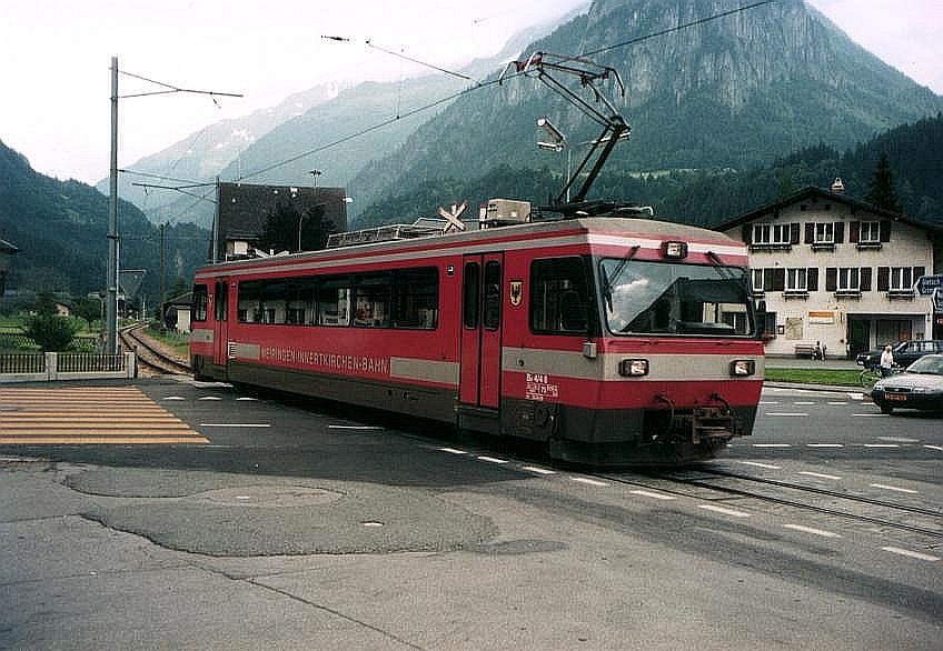
Economic life combines alpine agriculture, forestry, tourism and energy production. Hydroelectric projects and mountain roads have shaped the local economy; rail links such as the Brünig railway and the short Meiringen–Innertkirchen line provide connections for residents and visitors. Popular attractions include the Aare Gorge, the Reichenbach Falls (famous in literary lore), alpine hiking, climbing and winter sports on local slopes. Topographic variety across its 551.0 km² contributes to a mix of recreational and conservation interests; see area references at area data.
Oberhasli retains a strong mountain culture and dialect, with traditions, seasonal farming and mountain tourism shaping daily life. For regional context within cantonal structures consult the Bernese authorities and regional guides at Bernese regional resources.
Related articles
Author
AlegsaOnline.com Oberhasli district, Bern (Haslital) — geography, municipalities and overview Leandro Alegsa
URL: https://en.alegsaonline.com/art/71698