Netrokona District
Netrokona District is a northeastern district of Bangladesh in Mymensingh Division, noted for its haor wetlands, agrarian economy, cultural diversity and borderland landscapes adjacent to Meghalaya, India.
Netrokona District lies in the north-eastern part of Bangladesh and serves as an administrative district centered on Netrokona town. It is located within the Mymensingh Division and is part of the greater Bengal plain. The district occupies a transitional zone between low-lying seasonal wetlands and higher ground that approaches the international border with the Indian state of Meghalaya.
Image gallery
7 Images

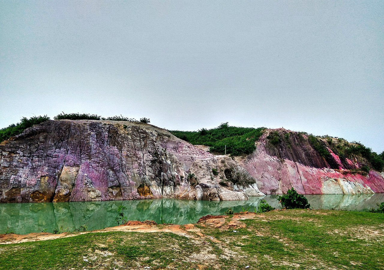


Geography and environment
Much of Netrokona falls into the haor region: bowl-shaped wetlands that flood during the monsoon and recede in the dry season. These haors form a distinctive landscape of shallow lakes, reeds and waterways used for fishing and boat travel. The district is drained by several rivers and channels, and seasonal floods play an important ecological and economic role.
Administration and economy
Netrokona is subdivided into administrative units that include the district headquarters and a number of sub-districts (upazilas). The local economy is predominantly agricultural: rice cultivation, winter-season crops and fisheries dominate livelihoods. The haor fisheries are especially important for food security and income during and after the monsoon.
People and culture
The district hosts a mix of Bengali rural communities and indigenous groups, such as the Garo and others who live in the northern uplands. Folk traditions, religious festivals and rural crafts remain central to social life. Local music, fairs and seasonal markets reflect the agricultural calendar and the rhythms of haor life.
History and development
Like other districts of Bengal, Netrokona experienced administrative changes under Mughal and British rule and later in independent Bangladesh. In recent years it has been administered as part of the Mymensingh Division following a national reorganization. Development challenges include road access across flooded plains, seasonal vulnerability and the need to balance livelihood uses with wetland conservation.
Uses, tourism and notable facts
- Haor tourism: scenic boat trips and birdwatching draw visitors in the dry season.
- Fisheries and wetland agriculture are locally vital for food and trade.
- Borderlands: northern parts of the district adjoin Meghalaya, shaping cross-border geography and cultural contacts.
For general country-level context see Bangladesh, and for regional administration consult the Mymensingh Division resources.
Related articles
Author
AlegsaOnline.com Netrokona District Leandro Alegsa
URL: https://en.alegsaonline.com/art/69271