Matlock, Derbyshire
Matlock is a market town in the Derbyshire Dales, England, known for its riverside setting, historic links with lead mining and nearby Peak District attractions.
Matlock is a town and civil parish in the Derbyshire Dales of central England, lying beside the River Derwent and situated on the A6 road. In the early 21st century it had a population of around nine to ten thousand people. The town sits close to the southern edge of the Peak District and acts as one of the local service and visitor centres for the surrounding rural area.
Image gallery
10 Images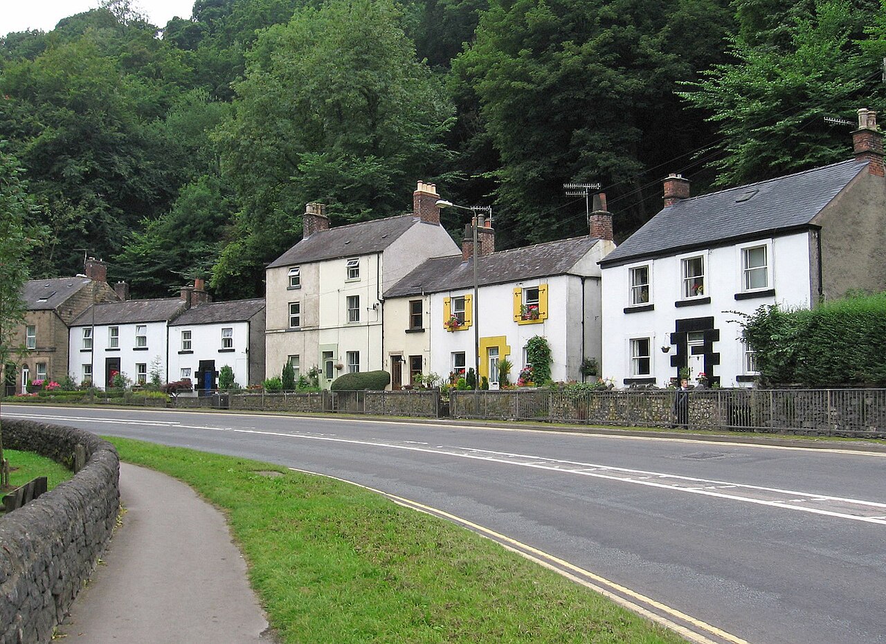


Geography and transport
Matlock occupies a valley location with steep slopes rising from the river. The A6 arterial road runs through the town, providing road links to nearby towns and cities. Matlock is also served by a rail connection on the valley line that links to larger rail hubs, making it accessible for commuters and visitors.
History and development
The locality grew from small settlements associated with agriculture and mineral extraction. Lead mining in the Derbyshire hills shaped the economy for many centuries, and industrial activity in the 18th and 19th centuries brought population growth and Victorian-era buildings to the town centre. Later economic change shifted Matlock toward services and light industry.
Economy, culture and attractions
Today Matlock combines local shops, markets, civic functions and visitor facilities. Nearby attractions, including the well-known Matlock Bath area and hillside visitor sites, draw tourism linked to walking, scenic views and regional heritage. The town hosts community events, small businesses and amenities used by residents across the Derbyshire Dales.
Notable facts
Matlock lent its name to a lead-bearing mineral first identified in the area, matlockite. For further information about the wider county and visitor services see Derbyshire.
Related articles
Author
AlegsaOnline.com Matlock, Derbyshire Leandro Alegsa
URL: https://en.alegsaonline.com/art/62838
Sources
- ons.gov.uk : "Local statistics - Office for National Statistics"