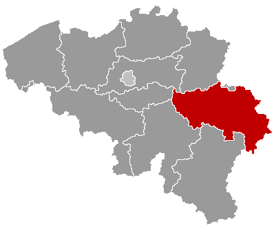
Marchin — municipality in Liège province, Belgium
Marchin is a French-speaking municipality in the province of Liège, Wallonia, Belgium. It is a small rural community noted for local services, village life and its coordinates at 50°27′N, 5°14′E.
Overview
Marchin is a municipality in the Walloon Region of Belgium, located in the province of Liège. As an administrative municipality it provides local government services to its residents and acts as a focal point for nearby rural communities. For official information see the municipal pages such as Municipal website and regional resources like Wallonia information.
Image gallery
3 Images

Geography and location
Marchin lies at coordinates 50°27′ North, 05°14′ East. The territory is inland and typically features the mixed agricultural and wooded landscapes common in this part of eastern Belgium. Its setting places it within commuting reach of larger urban centres in the province of Liège; provincial references can be found at Liège province.
Demographics and community
In 2007 the municipality recorded a population of 5,143 inhabitants. Like many small Belgian municipalities, Marchin has a predominantly French-speaking population and combines long-term residents with commuters who work in nearby towns. Population levels and composition may change slowly over time due to local births, migration, and economic factors.
Administration, economy and services
Local government in Marchin is responsible for everyday public services such as schooling, local roads, civil registration and cultural events. The local economy typically includes small and medium enterprises, agriculture and services that support village life; many residents also travel to larger centres for employment. Practical details and administrative contacts are usually listed on municipal or provincial portals such as official portals.
History and notable facts
Marchin shares the general historical pattern of the Walloon countryside: settlement dating back centuries, development around parish and market functions, and administrative reorganizations in the 20th century that shaped today’s municipal boundaries. It preserves local community traditions and public buildings that serve as focal points for festivals and civic life.
Visiting and further reading
- Coordinates: 50°27′N, 05°14′E — useful for maps or navigation.
- Local services: town hall, schools, community centres and small businesses.
- Further information: consult the municipal and regional links provided above for up-to-date notices, events and administrative procedures.
Related articles
Author
AlegsaOnline.com Marchin — municipality in Liège province, Belgium Leandro Alegsa
URL: https://en.alegsaonline.com/art/61654
Sources
- statbel.fgov.be : Population per municipality as of 1 January 2016
- statbel.fgov.be : Werkelijke bevolking per gemeente op 1 januari 2007 / Population de droit par commune au 1 janvier 2007 (.xls)
- statbel.fgov.be : Geografische coördinaten van de gemeenten (.xls)