
Maputo Province (Mozambique)
Coastal province in southern Mozambique whose capital is Matola; noted for Maputo Bay, coastal reserves, Inhaca Island, the Maputo River and a mix of industry, agriculture and tourism.
Maputo Province is the southernmost province of Mozambique with its administrative center in the city of Matola. The province surrounds but does not include the national capital, the city of Maputo, which is a separate entity in national administration. For general reference see province overview and for the distinct status of the capital see Maputo city.
Image gallery
5 Images

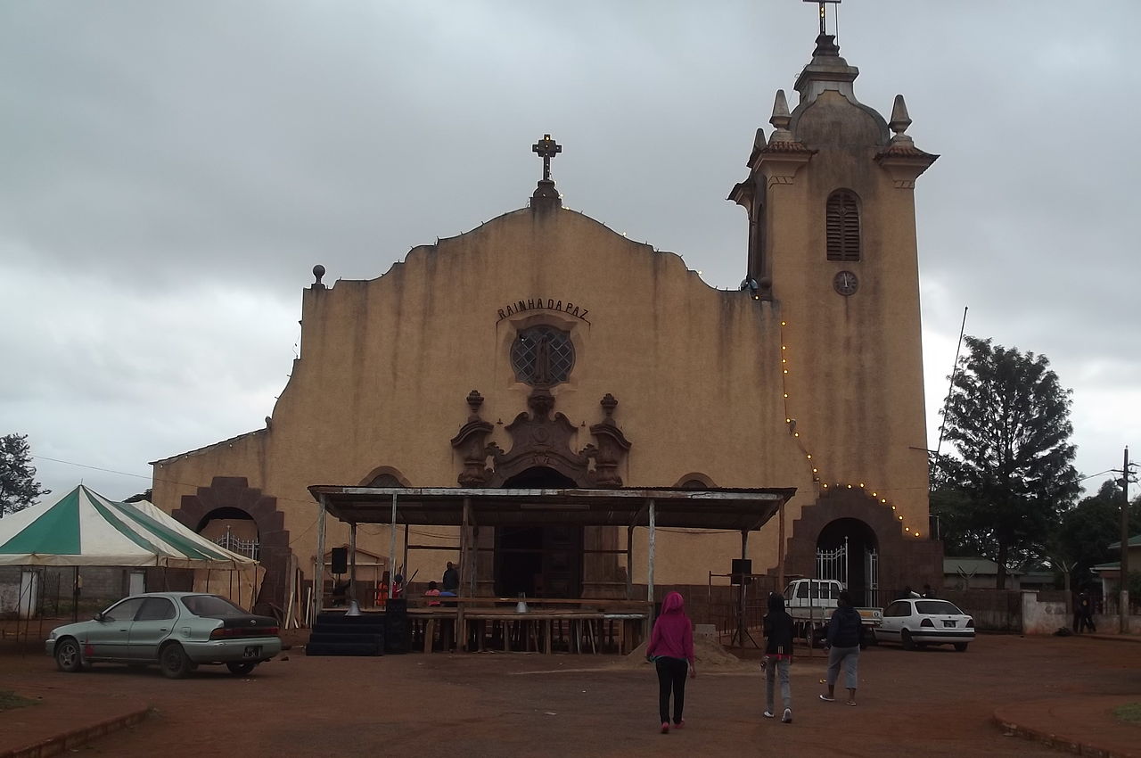


Geography and administrative structure
The province combines coastal plains, river valleys and low wooded hills. The largest river flowing through the province is the Maputo River, which reaches the Indian Ocean within Maputo Bay. Administratively the province is divided into multiple districts and municipalities that include industrial and rural zones. Major population and economic centers cluster around Matola and the corridor linking the capital and the port.
Ecology, conservation and islands
The coastal margin is ecologically significant. Maputo Bay, adjacent islands and the Machangulo peninsula host mangroves, seagrass beds, reef systems and important bird and marine life. Several protected areas and private reserves conserve this mosaic of habitats. Notable conservation sites include:
- Maputo Elephant Reserve — a coastal reserve supporting elephants and coastal wetlands, with lagoons such as Lagoa Chingute and Lagoa Piti;
- Machangulo Private Nature Reserve — a peninsula reserve that protects dune systems and marine frontage;
- Inhaca Island — an island reserve and research site known for its marine biodiversity and reef environments.
These areas are recognized for both biodiversity and as attractions for ecotourism and research. More on conservation initiatives is available at conservation resources.
Economy, transport and land use
The province is economically diverse. Matola hosts industrial complexes, while surrounding districts support agriculture — notably sugarcane and other cash and food crops — plus forestry and fisheries along the coast. The Port of Maputo (serving the metropolitan area and hinterland) and regional transport links, including modern bridge and road connections across Maputo Bay, are important for trade and cross-border movement with neighboring countries.
History and notable facts
Historically the coastal corridor has been a point of contact for trade, colonial administration and regional exchanges. Today the province is notable for its juxtaposition of urban industry and protected coastal ecosystems, for bordering neighboring states to the south and west, and for containing islands and estuarine systems critical to Mozambique's marine conservation network.
Related articles
Author
AlegsaOnline.com Maputo Province (Mozambique) Leandro Alegsa
URL: https://en.alegsaonline.com/art/61520
Sources
- google.com : Google Maps
- commons.wikimedia.org : Maputo Province
- tools.wmflabs.org : 25°30′S 32°20′E / 25.500°S 32.333°E / -25.500; 32.333