Interstate 49 (I-49)
Interstate 49 is a U.S. north–south Interstate that runs from southern Louisiana toward the Kansas City area, built in segments through Louisiana, Arkansas, and Missouri and serving regional commerce and travel.
Interstate 49 (I-49) is a north–south highway corridor in the central United States. It begins in southern Louisiana near Lafayette and extends northward through parts of Louisiana into Arkansas and Missouri toward the Kansas City area. The route is part of the Interstate Highway System in the United States and is intended to improve direct north–south travel through the central Gulf Coast and interior plains regions.
Image gallery
5 Images


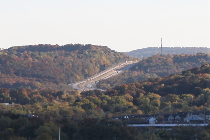
Route and characteristics
I-49 consists of a mix of urban freeways and rural divided highways. One commonly cited figure for the Louisiana portion is about 208 miles, but the highway as planned and signed extends across multiple states in several segments. Roadway design ranges from high-capacity urban interchanges to two- to four-lane rural sections where upgrades are planned.
Major places served
- Lafayette, LA (Lafayette)
- Shreveport and other north Louisiana centers
- Communities in western Arkansas
- Approaches to the Kansas City metropolitan area (Kansas City)
The highway connects industrial and agricultural regions, providing a direct route for freight and passenger travel between Gulf Coast ports and inland markets.
History and development
I-49 was designated and constructed in stages from the late 20th century into the 21st. Multiple projects over decades have extended the corridor, with state and federal partnerships funding upgrades and new construction. Because much of the route was built incrementally, I-49 includes both completed sections and gaps where planners continue to prioritize connections or environmental and community reviews.
Importance and future plans
Interstate 49 plays a role in regional commerce, evacuation planning, and local mobility. Ongoing projects aim to close remaining gaps, widen busy stretches, and modernize interchanges. Debates over routing, environmental effects, and funding have shaped its development, but the corridor remains a key north–south artery in the central U.S.
Related articles
Author
AlegsaOnline.com Interstate 49 (I-49) Leandro Alegsa
URL: https://en.alegsaonline.com/art/47781