Interstate 12 (Louisiana)
Interstate 12 is an east–west Interstate Highway in Louisiana running about 85.6 miles between I‑10 at Baton Rouge and I‑10 at Slidell, serving northshore communities and acting as a New Orleans bypass.
Overview
Interstate 12 is an east–west segment of the U.S. Interstate Highway System located entirely within the state of Louisiana. It extends roughly 85.6 miles and connects to Interstate 10 at both ends, forming a northern bypass of the New Orleans metropolitan area. The route links the state capital area to the Lake Pontchartrain north shore and terminates near Slidell after beginning at Baton Rouge.
Image gallery
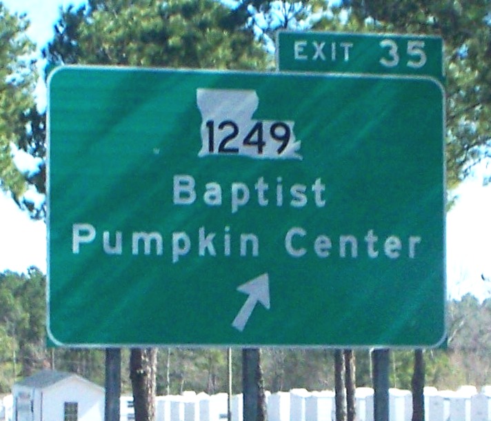
3 Images

Route and characteristics
Designed as a limited‑access freeway, I‑12 generally provides a faster, more direct path for through traffic that would otherwise travel I‑10 through New Orleans. It traverses mostly suburban and rural landscapes north of Lake Pontchartrain and is built to Interstate standards with divided lanes and grade‑separated interchanges. Along its length it serves commuters, regional freight movement, and intercity traffic between Baton Rouge and the eastside parishes.
History and development
The highway was planned and constructed in stages during the mid‑20th century as part of the broader Interstate program. Its creation aimed to improve east–west mobility across southern Louisiana while providing an alternative to urban congestion. Over time, sections have been modernized and widened in response to traffic growth and safety improvements.
Uses and importance
I‑12 functions as more than a connector road: it is an important evacuation and relief corridor during severe weather events, and it supports the regional economy by linking industrial, commercial, and residential centers. Truck traffic often uses I‑12 to bypass the slower, more congested routes through central New Orleans.
Notable facts and distinctions
- I‑12 is entirely contained within one state, making it an intrastate Interstate route.
- Its connection of two points on I‑10 gives drivers a shorter or faster east–west option around a major urban area.
- The corridor crosses several Louisiana parishes north of Lake Pontchartrain and is a key part of regional transportation planning.
For maps, route details, and construction history consult state transportation resources and regional planning documents via official links such as state DOT pages or the federal Interstate system references represented here by placeholders.
Related articles
Author
AlegsaOnline.com Interstate 12 (Louisiana) Leandro Alegsa
URL: https://en.alegsaonline.com/art/47754