Canewdon: village and civil parish in Rochford District, Essex
Canewdon is a village and civil parish in Rochford District, Essex, England, near the Crouch estuary. It has rural character, historic buildings, a parish church, local amenities, coastal marshes and active community life.
Canewdon is a village and civil parish in the Rochford District of Essex, England. It lies close to the Crouch estuary and is set among low-lying agricultural land and coastal marshes. Administratively the parish forms part of Rochford District. Census returns for small parishes are published by national statistics authorities; the 2001 count recorded 1,477 residents in the parish.
Image gallery
3 Images

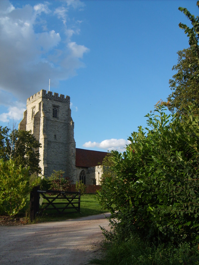
Character and landscape
The village retains a compact form typical of many rural settlements in southeast England, with a core of historic buildings, domestic housing and a small number of local businesses and public houses. Surrounding fields, hedgerows and nearby salt marshes give the locality a mixed agricultural and estuarine character. Footpaths and minor lanes link Canewdon to neighbouring villages such as Ashingdon, Paglesham and Stambridge.
History and development
Canewdon has a history shaped by farming, local trade and its coastal setting. Architectural features and the layout of fields indicate a long-standing rural community. Over the twentieth and twenty-first centuries changes in transport and employment have altered day-to-day life, with some residents commuting to larger towns while others remain employed locally in agriculture, small enterprises or services.
Community and amenities
The parish is served by a parish council and benefits from community facilities commonly found in English villages, including a village hall, places of worship and recreational spaces. Local groups and events such as fetes and club meetings contribute to community life. Basic services and shops are limited; residents often travel to nearby centres for a wider range of amenities.
Nature, leisure and practical points
The estuary and marshes nearby support birdlife and other wildlife and are used for walking, informal recreation and nature observation. The location also offers access to coastal landscapes and waterways popular with sailors and anglers. Practical information for visitors and residents, including electoral arrangements and local planning, is published by the district authority and the parish council.
- Nearby settlements: Ashingdon, Paglesham, Stambridge.
- Landscape: agricultural land, hedgerows, estuarine salt marshes and footpaths.
- Administration: local matters handled by the parish council; wider services by the district and county authorities.
- Population: historic counts such as the 2001 census are available from national statistics sources; later estimates should be checked for current figures.
Related articles
Author
AlegsaOnline.com Canewdon: village and civil parish in Rochford District, Essex Leandro Alegsa
URL: https://en.alegsaonline.com/art/16548
Sources
- genuki.org.uk : GENUKI
- ons.gov.uk : "Local statistics - Office for National Statistics"
- essexinfo.net : "Canewdon Parish Council and incorporating Wallasea Island - Welcome to the Canewdon Parish Council Website"