Lake Aike (Kazakhstan–Russia)
Lake Aike is a transboundary lake on the Kazakhstan–Russia frontier, covering about 64.7 km². It lies near the village of Terensay and is part of the northern steppe landscape with local ecological and economic importance.
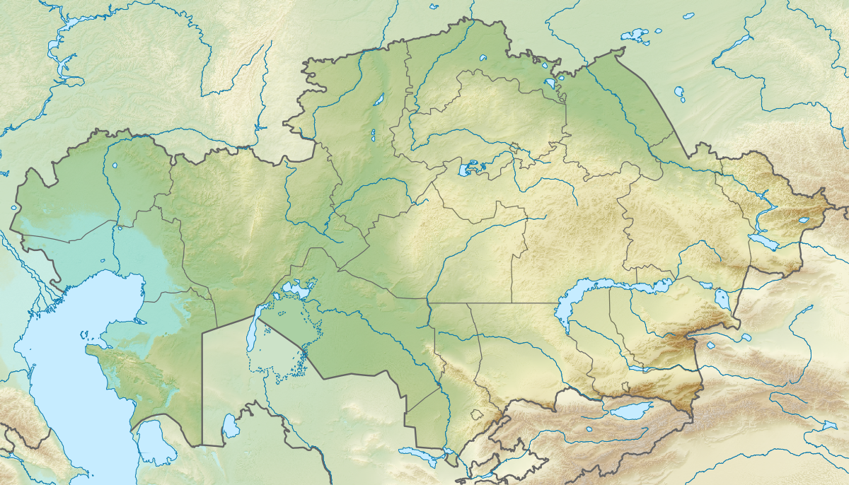
Lake Aike is a freshwater or inland lake situated on the international boundary between Kazakhstan and Russia. Covering about 25 square miles (approximately 64.7 square kilometres), it occupies a modest basin in the northern Eurasian steppe. The lake's approximate location is 50°57′N 61°33′E, and the small settlement of Terensay stands on its shore. For a general map view and geographic context see location map.
Image gallery
6 Images


Physical characteristics
Published summaries list the lake's surface area near 64.7 km² but detailed bathymetry, mean depth and volume are not widely cited in standard references. Like many lakes in this part of the steppe, Aike may experience seasonal variation in water level and extent. Typical characteristics to consider for such lakes include shoreline morphology, inflow and outflow regimes, and catchment land use; these influence water chemistry and habitat value. Regional overviews are available at regional geography sources.
Human settlement and use
The village of Terensay is the named settlement on Aike's coast and likely represents the nearest local population center. Residents in similar lakeshore communities commonly rely on small-scale fishing, livestock watering, reed harvesting and seasonal grazing, though specific economic activities at Aike are not exhaustively documented in the public record. Practical information and local administrative details can be sought via local authority pages.
History and environmental context
Lakes on the Kazakhstan–Russia border have varied origins: some are glacial, some are remnants of larger paleo-lakes, and others occupy depressions supplied by steppe rivers or groundwater. Without precise studies cited here, one should treat Aike’s origin cautiously; geological and hydrological surveys would be needed for confirmation. Transboundary lakes also raise questions of shared management and conservation; summaries of such issues are discussed at transboundary water resources.
Importance and notable facts
Although not among the largest or most famous lakes in the region, Aike contributes to local landscape diversity and can provide habitat for waterfowl, fish and riparian vegetation typical of the northern steppe. Its cross-border position makes it relevant for bilateral mapping and any cooperative environmental monitoring. For maps, research leads, and further reading use cartographic resources and general databases at scientific data portals.
Researchers, travellers or planners seeking more specific data (water quality, species lists, protected status or legal arrangements) should consult regional environmental agencies or targeted field studies; an entry point for broader contextual information is available at background reference.
Tags
Related articles
Author
AlegsaOnline.com Lake Aike (Kazakhstan–Russia) Leandro Alegsa
URL: https://en.alegsaonline.com/art/1554
Sources
- kazindex.ru : Post index of district