Büllingen (Bullange) — municipality in Liège, Belgium
Büllingen (French: Bullange) is a German-speaking municipality in Liège province, eastern Belgium. Rural, located in the High Fens near the German border; population was 5,453 in 2007.
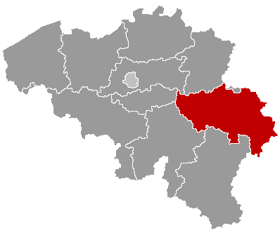
Büllingen (French: Bullange) is a municipality in eastern Belgium, part of the German-speaking Community. It lies in the province of Liège and is administered as a local municipality within the Belgian state. The town is situated at about 50°24′N, 6°15′E and had 5,453 inhabitants in 2007. Its location close to Germany gives it strong cross-border ties and a predominantly German-language cultural life.

Image gallery
4 Images


Geography and landscape
Büllingen sits on upland terrain associated with the High Fens (Hohes Venn), a moor and plateau region noted for peat bogs, forests and open heath. The municipality occupies rural countryside with rolling hills and scattered settlements. Its elevated position makes it a gateway to walking, cycling and nature tourism in this part of Belgium.
Composition and settlements
The municipality comprises the central town of Büllingen and several smaller villages and hamlets, including well-known localities such as Rocherath and Manderfeld, together with other rural settlements. Local administration manages services across these dispersed communities and preserves regional cultural traditions.
History and notable events
Büllingen is part of the Eupen-Malmedy area that became Belgian after World War I under the Treaty of Versailles; the German-speaking character of the region has remained important. During World War II the area saw fighting during the Battle of the Bulge, which left a visible legacy in local memory and memorials. Today the municipality balances that history with cross-border cooperation.
Economy, tourism and importance
The local economy is dominated by agriculture, forestry and small businesses, while tourism plays a growing role thanks to natural attractions and outdoor recreation. Visitors come for hiking in the High Fens, quiet village scenery and seasonal events that reflect the German-speaking community. Proximity to the German border also supports daily cross-border commuting and trade.
- Administrative region: province-level context
- National context: Belgian German-speaking municipality
- Coordinates: 50°24′N, 6°15′E
Related articles
Author
AlegsaOnline.com Büllingen (Bullange) — municipality in Liège, Belgium Leandro Alegsa
URL: https://en.alegsaonline.com/art/15261
Sources
- statbel.fgov.be : Werkelijke bevolking per gemeente op 1 januari 2007 / Population de droit par commune au 1 janvier 2007 (.xls)
- statbel.fgov.be : Geografische coördinaten van de gemeenten (.xls)