
Wieringermeer: Dutch polder and former municipality
Wieringermeer is a reclaimed polder in North Holland, Netherlands. Created as part of the Zuiderzee Works, it became a municipality and since 2012 is part of Hollands Kroon; known for agriculture and water engineering.
Overview
Wieringermeer is a low-lying polder and former municipality in the northwestern Netherlands. It was created by draining sea and lake water as part of the large-scale Zuiderzee Works and has been important for Dutch agriculture and land-management practice. Administratively it was a standalone municipality until it became part of a larger local authority in 2012: former municipality, in the Netherlands country, inside the province often described as North Holland (province), and since 2012 part of Hollands Kroon.
Image gallery
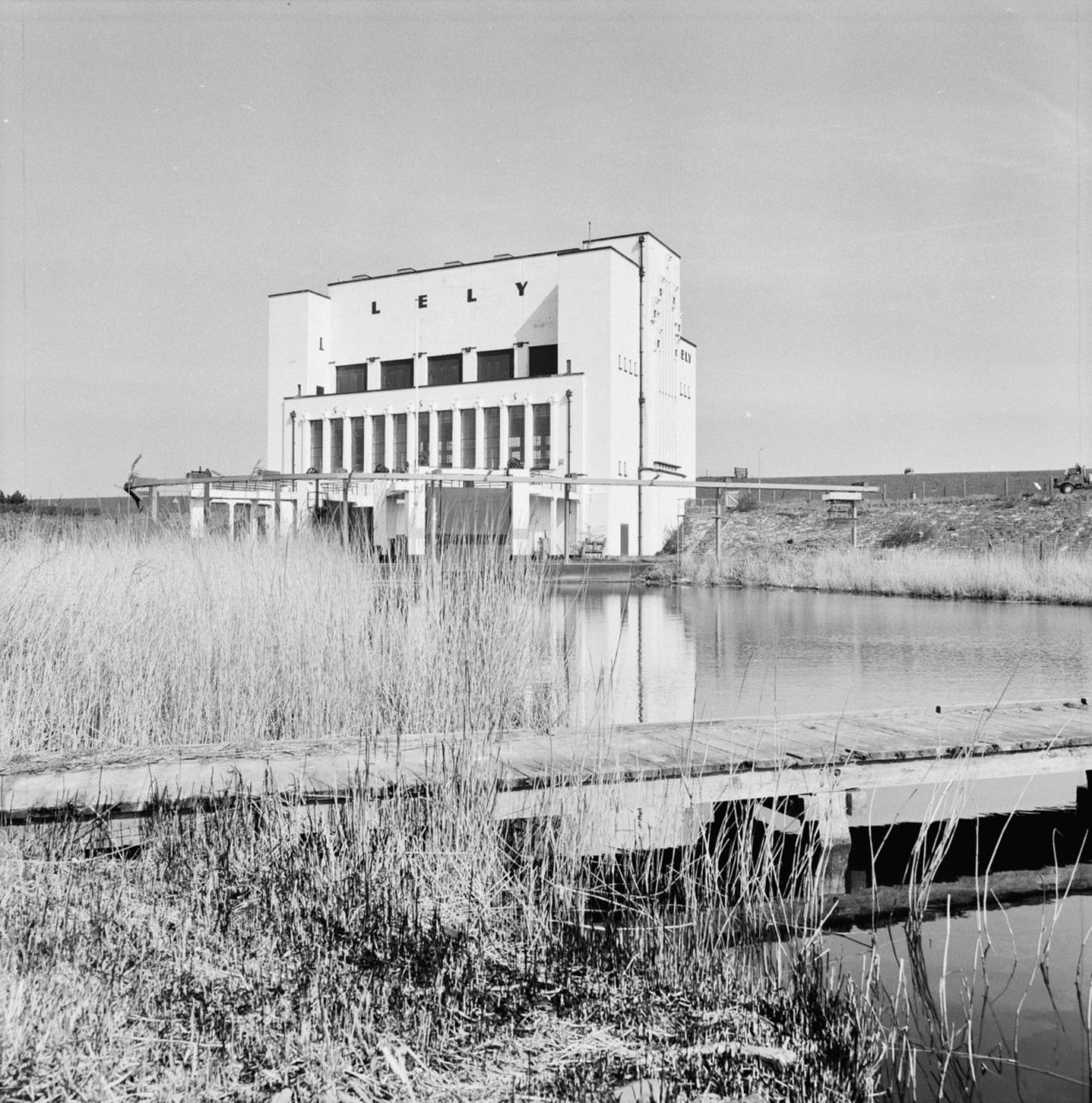
3 Images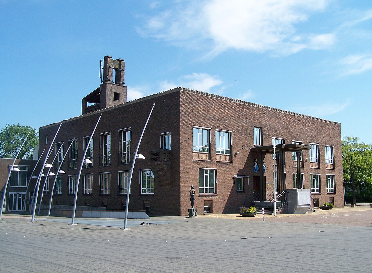

Creation and characteristics
The polder was reclaimed in the early twentieth century as one of several new land areas produced when the Zuiderzee was enclosed and converted into the IJsselmeer. Its landscape is characteristically flat, with a network of canals, pumping stations and drainage ditches that control water levels. The soil is fertile, making the area well suited to intensive farming and horticulture.
Settlements and layout
The reclaimed land was planned with villages and a road pattern to serve farming communities and small industry. Notable settlements include Wieringerwerf and Middenmeer, along with smaller villages such as Slootdorp. Linear waterways and service roads structure fields and residential zones.
History and wartime events
Wieringermeer illustrates both Dutch engineering ambition and wartime vulnerability. During the Second World War the polder was intentionally flooded when dikes were breached, causing large-scale disruption. After the war it was pumped dry and rebuilt, with farms and communities restored in the following years.
Economy, use and importance
The polder remains chiefly agricultural, supplying crops, dairy and horticultural products. It also hosts renewable-energy installations, local industry and recreational routes for cycling and water sports. As reclaimed land it is frequently cited in overviews of Dutch water management and land reclamation.
Notable facts
- Part of the twentieth-century Zuiderzee Works, a landmark of Dutch water engineering.
- Typical polder features: ring dikes, pumping stations and a regular canal grid.
- Serves as an example of post-war recovery after inundation.
Author
AlegsaOnline.com Wieringermeer: Dutch polder and former municipality Leandro Alegsa
URL: https://en.alegsaonline.com/art/147813