
Minneapolis–Saint Paul: the Twin Cities metropolitan region
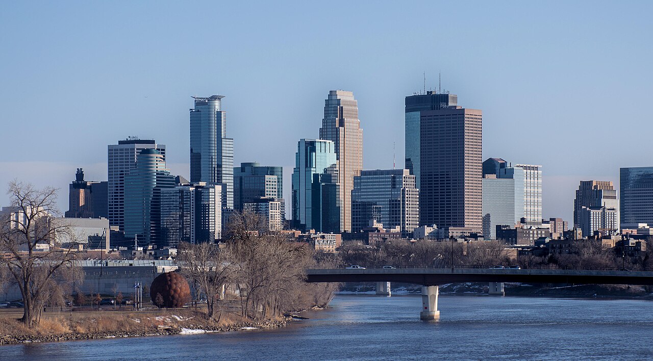
Minneapolis–Saint Paul, commonly called the Twin Cities, is Minnesota's largest metropolitan area centered on Minneapolis and Saint Paul, built around the Mississippi, Minnesota and St. Croix rivers.
Overview
Minneapolis–Saint Paul is the principal metropolitan region of the state of Minnesota in the United States. Often called the "Twin Cities," it is organized around two core cities—Minneapolis and Saint Paul—and includes more than 180 surrounding cities and townships. The urban area developed where several major rivers meet, shaping settlement, transport and industry.
Image gallery
10 Images


Geography and parts
The metro occupies land along three principal waterways: the Mississippi River, the Minnesota River and the St. Croix River. These rivers define neighborhoods, parkways and commerce corridors. The region contains dense downtowns, older streetcar suburbs, industrial corridors and extensive park systems, plus outlying suburbs and semi-rural townships.
History and development
Settlement in the area followed river transportation and natural resources. Minneapolis grew as a milling and manufacturing center in the 19th century, taking advantage of falls and river power; Saint Paul developed as a river port and the state capital. Over time the two cities and many smaller municipalities became interconnected through roads, rail and commerce, forming a single metropolitan economy while retaining distinct civic identities.
Economy, culture and institutions
The metro hosts a diverse economy that includes healthcare, finance, education, manufacturing and technology. Major institutions include large hospitals and medical systems, the University of Minnesota, corporate headquarters and cultural organizations. Notable cultural venues and attractions include art museums, theaters, professional sports teams, and regional parks.
Transportation and infrastructure
- Air: Minneapolis–Saint Paul International Airport serves as the primary air hub for the region.
- Road and rail: Interstates and commuter rail link downtowns and suburbs; a network of bike paths and the Skyway system support local mobility.
- Public transit: Bus and light-rail lines provide commuter and urban service across the metro.
Notable features and distinctions
Residents and visitors often point to the concentration of parks and lakes, a strong civic arts scene, and major public institutions as defining traits. The Twin Cities balance urban amenities with accessible green space and are a regional center for business, culture and higher education. Suburban destinations such as shopping and entertainment complexes also contribute to the area's regional role.
The Minneapolis–Saint Paul region is therefore a multi-faceted metropolitan area shaped by rivers, history and a mix of urban and suburban development. Its identity as the "Twin Cities" highlights both the partnership and the contrast between Minneapolis and Saint Paul within a larger metropolitan fabric.
Author
AlegsaOnline.com Minneapolis–Saint Paul: the Twin Cities metropolitan region Leandro Alegsa
URL: https://en.alegsaonline.com/art/142742
Sources
- census.gov : "Combined Statistical Areas and Component Core Based Statistical Areas, December 2005, With Codes"
- census.gov : "State/County Reference Wall Map"
- census.gov : "Metropolitan and Micropolitan Statistical Areas of the United States and Puerto Rico"
- census.gov : "Annual Estimates of the Population of Metropolitan and Micropolitan Statistical Areas: April 1, 2000 to July 1, 2006 (CBSA-EST2006-01)"
- factfinder.census.gov : "Geographic Comparison Table: United States and Puerto Rico – Metropolitan Area"
- metrocouncil.org : "Minneapolis-St. Paul-Bloomington Urbanized Area (geographic coverage map)"
- metrocouncil.org : "Snapshot of the Region"