
Brahmanbaria District
District in east-central Bangladesh, part of Chittagong Division since 1984. Predominantly agricultural plains with growing towns, local industries, cultural life and a seven-upazila administrative system.
Overview
Brahmanbaria is a district in the east-central part of Bangladesh, administratively belonging to the Chittagong Division. The district occupies predominantly flat, alluvial terrain typical of the Gangetic delta, with a mix of cultivated fields, settlements and market towns. Its economy combines smallholder agriculture, cottage industries, trade and remittances from expatriate workers. Urbanisation around municipal centres has increased in recent decades while many rural communities retain traditional livelihoods.
Image gallery
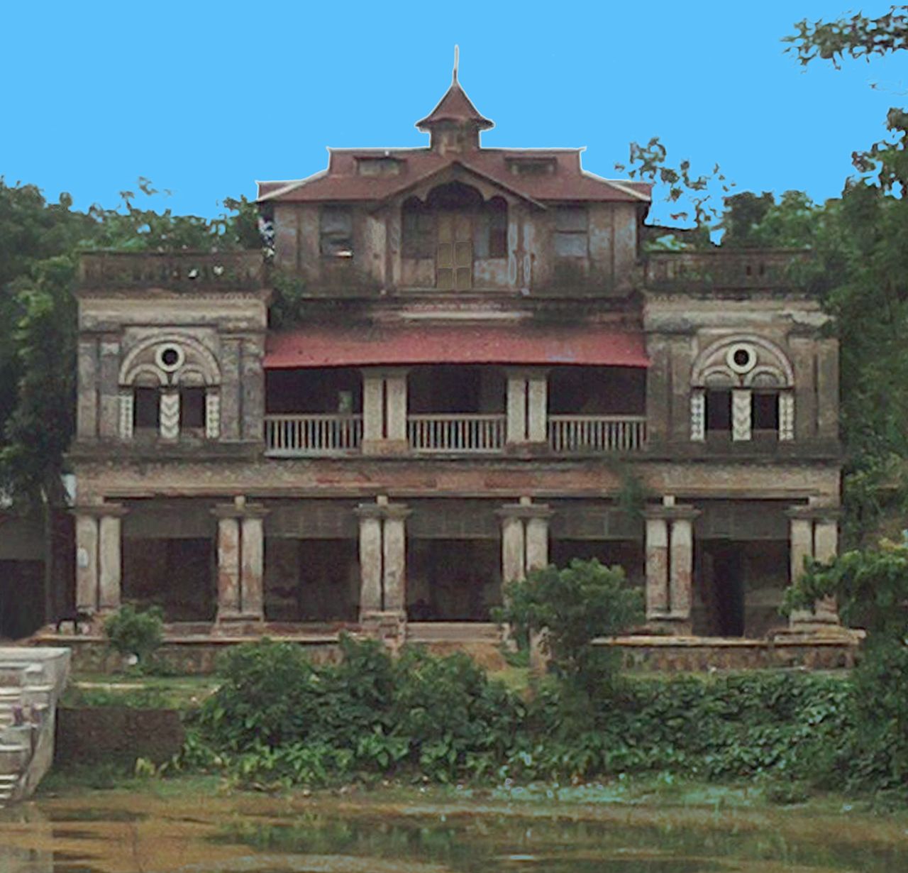
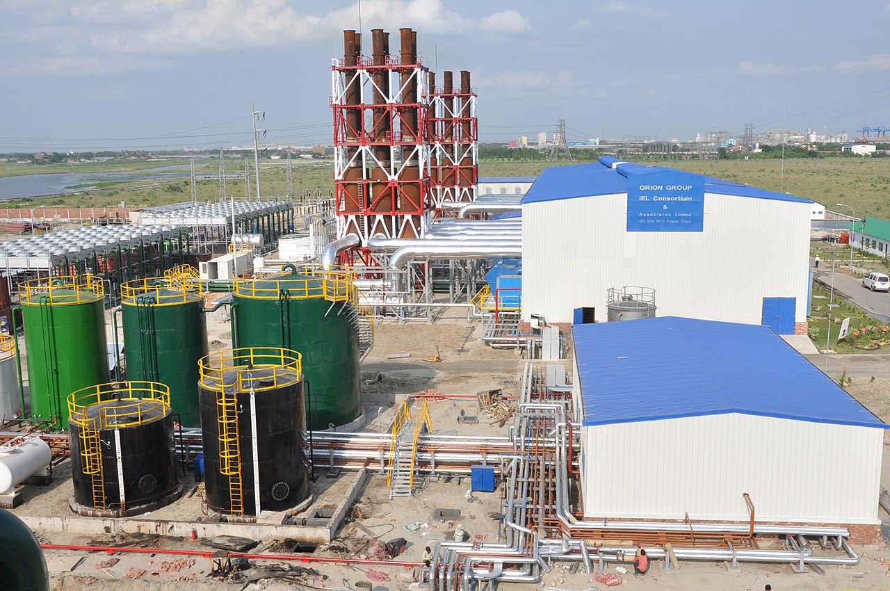
10 Images





Geography and environment
The landscape is formed by riverine plains and floodplains that support rice cultivation and other crops. Seasonal monsoon rains and river flows shape agricultural cycles. Like other low-lying parts of the country, portions of the district are vulnerable to flooding and waterlogging during heavy monsoon seasons, and local authorities undertake measures for drainage and flood management.
Administrative structure
The district was created in 1984 from the larger Comilla administrative area. It is governed through a multi-tier local government system that combines urban municipalities and rural councils. The standard administrative components include:
- Municipalities: 4
- Wards: 39
- Mahallas (urban neighbourhoods): 97
- Upazilas (sub-districts): 7
- Union parishads (rural councils): 98
- Mouzas (revenue units): 1,052
- Villages: 1,329
History
The area has a layered administrative history. Before the mid-19th century, parts such as the Sarail region were associated with neighbouring districts; later the territory was administered as part of Comilla until the nationwide reorganisation of districts in 1984 established Brahmanbaria as a separate district. Historical trade routes, local markets and agricultural settlements shaped the district’s development over time.
Economy, society and culture
Agriculture remains central: cereals, oilseeds and vegetables are widely cultivated on family farms, supplemented by irrigation where available. Small-scale manufacturing, textile workshops and food processing add local employment. Social and cultural life is marked by religious observances, seasonal festivals, folk music and local crafts; educational institutions ranging from primary schools to colleges serve the population and contribute to social mobility.
Transport and infrastructure
Road and rail links connect the district to regional hubs, enabling movement of goods and people. Local markets serve as trade nodes for agricultural produce. Public services include district-level health facilities, schools and municipal utilities, though like many districts there are ongoing efforts to improve infrastructure, water management and service delivery.
Development challenges and prospects
Challenges include periodic flooding, pressure on usable land, and the need for diversified employment beyond agriculture. Opportunities lie in improved connectivity, investment in small industry, agricultural productivity gains and education. Local and national development initiatives aim to raise living standards while preserving cultural and environmental assets.
Further information
For administrative details and local services consult official district resources and regional planning documents. General introductions and maps are available through official portals and regional overviews of the Chittagong Division and Bangladesh.
Related articles
Author
AlegsaOnline.com Brahmanbaria District Leandro Alegsa
URL: https://en.alegsaonline.com/art/13641