1975 Atlantic hurricane season
Overview of the 1975 Atlantic hurricane season, its official dates, meteorological context, notable storms including Hurricane Eloise, impacts on the Florida Panhandle, and season legacy.
Season overview
The 1975 Atlantic hurricane season officially began on June 1, 1975 and concluded on November 30, 1975. These dates mark the period when tropical cyclone formation is most likely in the Atlantic basin, although systems can form outside the window. In 1975 one of the season's systems — Subtropical Storm Two — persisted into December, illustrating that tropical and subtropical activity can extend beyond the conventional bounds.
Image gallery
10 Images


Storm development and characteristics
Like other Atlantic seasons, the 1975 storms developed from a combination of warm sea surface temperatures, atmospheric instability, and pre-existing disturbances such as tropical waves. The climatological peak occurs in early to mid-September when conditions for intensification are most favorable. Storms in this era were monitored using reconnaissance aircraft, ship reports and satellite imagery, and forecasts focused on tracks, intensity changes, and potential coastal impacts.
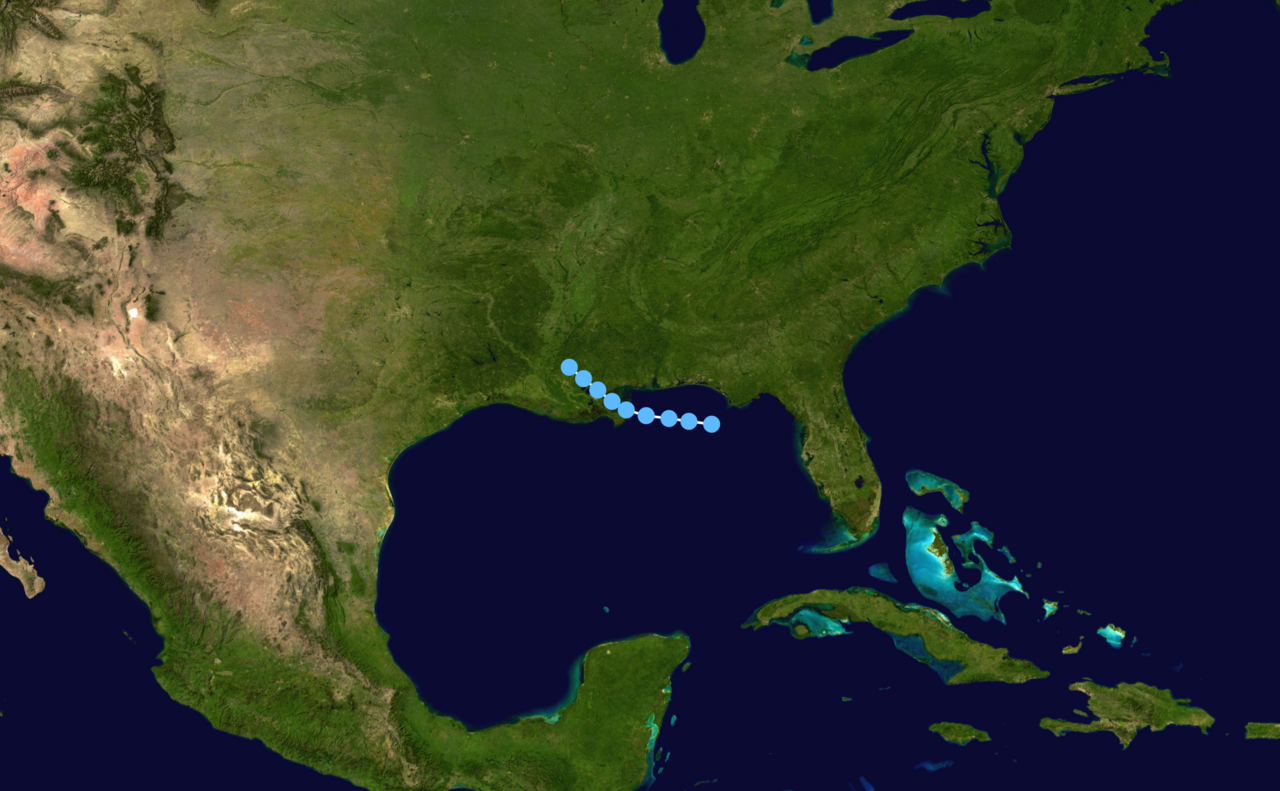
Notable storms: Hurricane Eloise
The most prominent storm of 1975 was Hurricane Eloise, which made landfall on the northern Gulf Coast and produced major damage. Eloise brought a combination of strong winds, storm surge and heavy rainfall to coastal areas, and is remembered for its significant economic impact when it struck the Florida Panhandle. In contemporary reports Eloise's damage was described as nearly $500 million, and the storm remains one of the better-known landfalling hurricanes of the mid-1970s.
Impacts and response
Coastal and inland effects from storms during the season included wind damage, inundation from storm surge, and freshwater flooding from persistent rainfall. Localities in the Gulf and southeastern United States mobilized evacuations, emergency shelters and post-storm recovery efforts. Insurance, emergency management practices and building codes at the time were influenced by major landfalls, and each season contributed to evolving preparedness measures.
Historical context and significance
The 1975 season fits into the longer record of Atlantic tropical activity and reflects technological and procedural changes in hurricane science. Observational networks in the 1970s were improving, with satellites becoming a routine tool for detection and tracking. While some seasons produce unusually high counts of storms or several intense hurricanes, others are more moderate; the important takeaways are the regional impacts, lessons learned in forecasting and response, and the role of individual storms like Eloise in shaping public memory.
Further notes
- Season timing: official bounds are shown by the start and end links above to indicate the traditional window for Atlantic cyclone activity.
- Out-of-season behavior: the persistence of Subtropical Storm Two into December is an example of how storms can occur outside the nominal season.
- Legacy: major landfalls from any season often influence emergency planning, building practices and historical storm records.
For additional technical details, storm-by-storm reports and archival materials, consult specialist summaries and post-season analyses prepared by meteorological agencies and hurricane research programs. See entries and reports that chronicle individual cyclone tracks, intensity estimates and societal impacts for a complete picture.
Questions and answers
Q: When did the 1975 Atlantic hurricane season start and end?
A: The 1975 Atlantic hurricane season started on June 1, 1975, and ended on November 30, 1975.
Q: Was there any storm that lasted beyond the official end date of the 1975 Atlantic hurricane season?
A: Yes, Subtropical Storm Two lasted during December, which was beyond the official end date of the 1975 Atlantic hurricane season.
Q: Can you name a famous hurricane from the 1975 Atlantic hurricane season?
A: Yes, Hurricane Eloise is a famous hurricane from the 1975 Atlantic hurricane season.
Q: When did Hurricane Eloise hit the Florida Panhandle?
A: Hurricane Eloise hit the Florida Panhandle during the 1975 Atlantic hurricane season.
Q: What was the financial impact of Hurricane Eloise on the Florida Panhandle?
A: Hurricane Eloise caused nearly $500 million in damage when it hit the Florida Panhandle during the 1975 Atlantic hurricane season.
Q: Have there been other hurricane seasons where a storm has lasted beyond the official end date?
A: Yes, there have been other hurricane seasons where a storm has lasted beyond the official end date.
Q: What is the official end date of the Atlantic hurricane season?
A: The official end date of the Atlantic hurricane season is November 30.
Author
AlegsaOnline.com 1975 Atlantic hurricane season Leandro Alegsa
URL: https://en.alegsaonline.com/art/133540