List of Rivers of Sri Lanka
Overview and list of Sri Lanka's principal rivers (generally excluding streams under 100 km), with origins, uses, and notable facts about their role in the island's landscape.
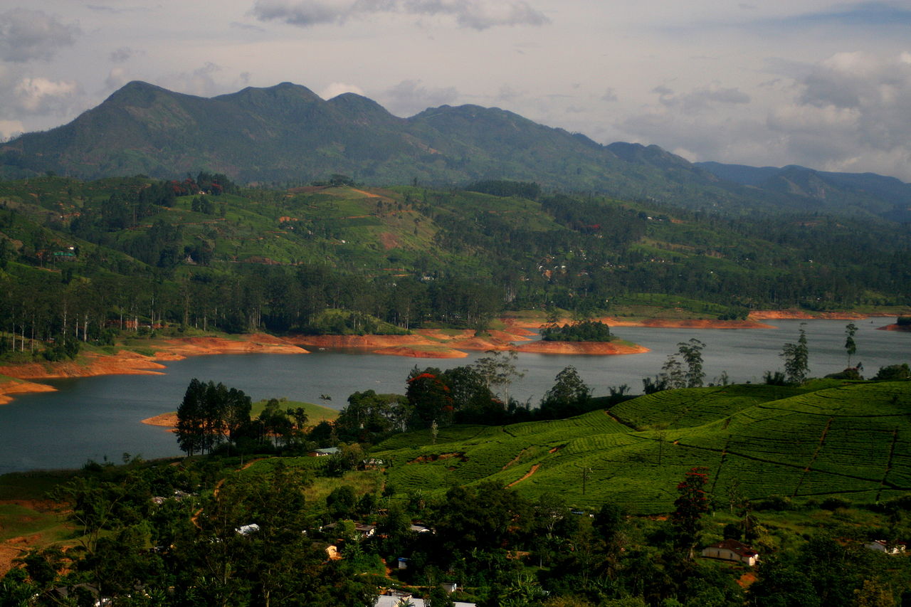
Sri Lanka's river network shapes its landscape, agriculture and settlements. This article surveys the principal rivers of Sri Lanka, concentrating on the longer waterways that drain the central highlands to all coasts. Rivers here supply irrigation, hydroelectric power and habitats for many species, and they have been central to the island's historical water-management systems.
Image gallery
10 Images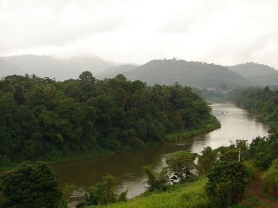


Characteristics and origins
Most of Sri Lanka's major rivers begin in the central mountainous plateau and flow outward toward the coast. Their regimes are controlled by the island's monsoon climate: some rivers are more active during the southwest monsoon, others during the northeast monsoon. Many rivers feed ancient and modern tank-and-canal irrigation systems developed to capture seasonal flows.
Major rivers
- Mahaweli River (the island's longest and most significant for irrigation and hydropower)
- Kelani River
- Kalu River
- Walawe River
- Kala Oya
- Deduru Oya
- Malwathu Oya (Malvathu)
- Nilwala River
- Gin Ganga (Gin)
- Heda Oya and other principal coastal rivers
These names represent the island's main drainage arteries; smaller streams and seasonal channels also play important local roles but are often omitted from lists that focus on rivers exceeding a set length threshold.
Uses, history and conservation
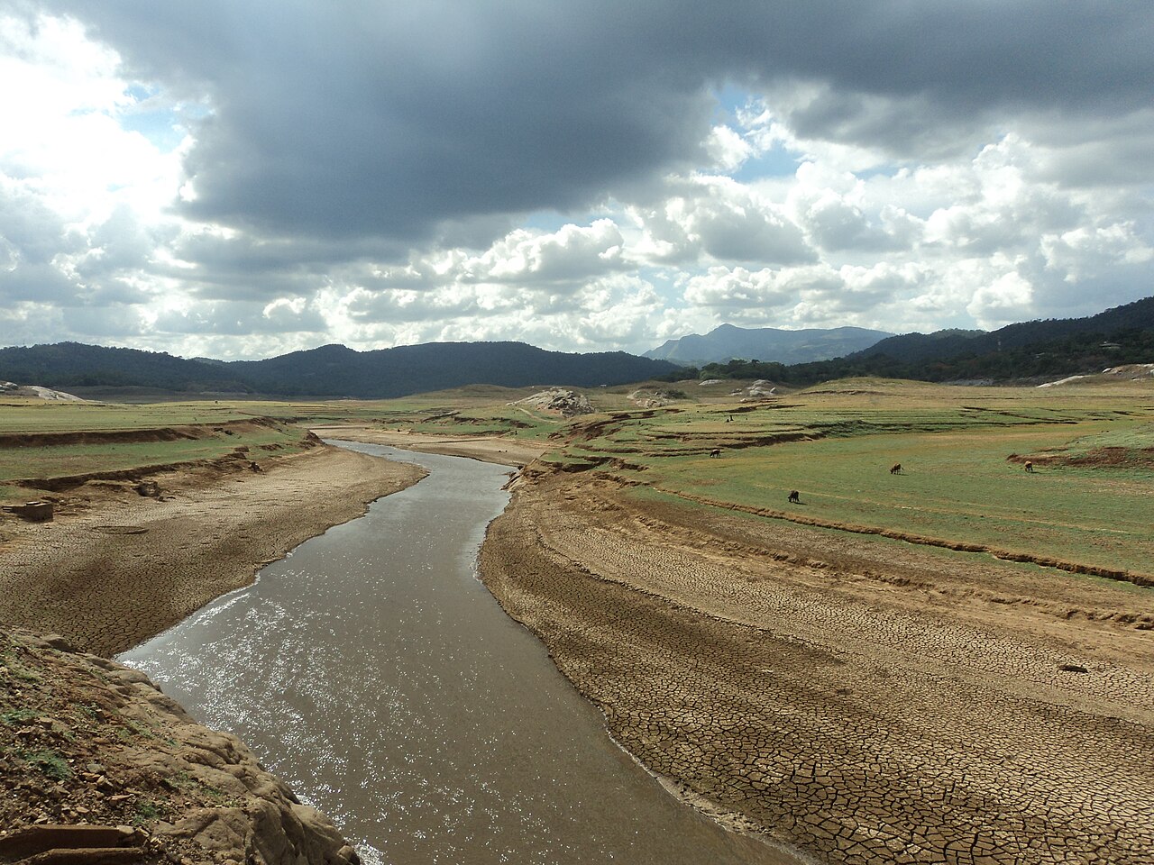
Rivers have supported rice cultivation and urban supply for centuries, and many fed the sophisticated ancient tank systems of the Anuradhapura and Polonnaruwa periods. In modern times, projects such as the Mahaweli Development initiative combined irrigation expansion and hydropower. Contemporary issues include pollution, watershed deforestation, sedimentation and the ecological effects of dams; these concerns shape current conservation and river-management policies.
For further details on individual rivers and maps, consult regional hydrology sources and national water-resources publications linked from broader references on rivers and Sri Lanka.
Related articles
Author
AlegsaOnline.com List of Rivers of Sri Lanka Leandro Alegsa
URL: https://en.alegsaonline.com/art/125076