Sint-Katelijne-Waver — municipality in Antwerp, Belgium
Sint-Katelijne-Waver is a Flemish municipality in the province of Antwerp, Belgium. It has historic roots, local horticultural activity, and lies at 51°04′N, 4°32′E; population figures are available for past years.
Sint-Katelijne-Waver is a municipality in the Flemish Region of Belgium. Administratively it belongs to the province of Antwerp and is commonly referenced as a local centre for small-scale agriculture and settlement in the central part of northern Belgium. The municipality is identified by the coordinates 51°04′ North, 04°32′ East and had a recorded population of 19,642 in 2007.
Image gallery
6 Images


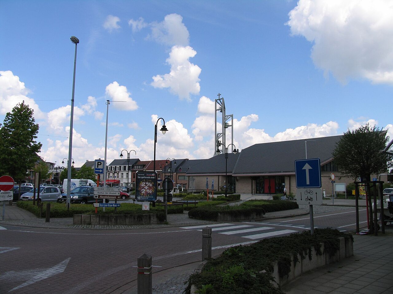


Overview and composition
The municipality includes the town proper and nearby population centres that together form its local government area. Dutch is the official language and municipal services follow the structures typical of Flemish municipalities. Local life combines residential neighbourhoods with open land and greenhouses in surrounding plots.
History and name
The name Sint-Katelijne-Waver refers to Saint Catherine (Sint Katelijne) and the river or stream element traditionally indicated by “Waver.” Like many Belgian places, its origins reach back to medieval settlement patterns, church foundations and agricultural communities. Over centuries the area developed from dispersed farms into a more consolidated municipal structure.
Economy and land use
Today the local economy blends service activities with horticulture and market gardening. The surrounding landscape features fields and cultivated plots that supply nearby towns and cities. Small businesses, local shops and community services support the population and visitors.
Transport and notable facts
- Accessible by regional roads that connect to larger urban centres in Antwerp province.
- Local government provides municipal services, cultural events and sports facilities.
- Population counts are maintained in national statistics; the 2007 figure above is a historical reference point.
For official and detailed municipal information consult the local administration or regional resources: see the municipality entry at municipal page and provincial overviews at Antwerp province listings and national portals at Belgian information services.
Related articles
Author
AlegsaOnline.com Sint-Katelijne-Waver — municipality in Antwerp, Belgium Leandro Alegsa
URL: https://en.alegsaonline.com/art/90698
Sources
- statbel.fgov.be : Werkelijke bevolking per gemeente op 1 januari 2007 / Population de droit par commune au 1 janvier 2007 (.xls)
- statbel.fgov.be : Geografische coördinaten van de gemeenten (.xls)