Sherman County, Oregon
Sherman County is a sparsely populated, largely agricultural county in north-central Oregon with Moro as its county seat. Named for General William T. Sherman, it had 1,765 residents at the 2010 census.
Overview
Sherman County is a rural county in the U.S. state of Oregon. It occupies a stretch of north-central Oregon that is bounded to the north by the Columbia River and characterized by wide, open wheat farms and rolling highlands. As of the 2010 census (2010) the county's population was 1,765, making it one of the least populous counties in the state. The administrative center and county seat is Moro (county seat).
Image gallery
4 Images

Geography and climate
The county contains a mix of dryland agricultural plains and steeper canyon and river-edge terrain along the Columbia. The climate is semi-arid with warm, dry summers and cool winters—conditions that favor dry farming of grains and grazing. The Columbia River corridor influences local weather and provides recreational access and scenic cliffs along the northern edge.
History and name
Sherman County was created in the late 19th century and was named for General William Tecumseh Sherman. Before Euro-American settlement the broader Columbia Plateau and river corridor were occupied by Indigenous peoples and seasonal fishing and trade networks. The county’s development followed settlement patterns tied to agriculture, railroads, and river transport.
Economy and communities
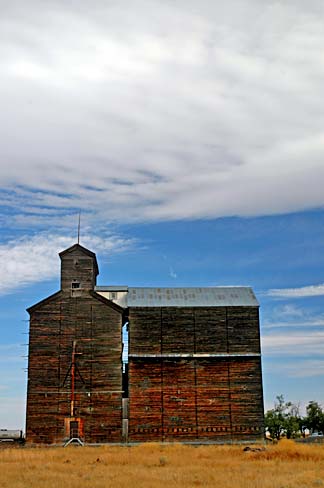
The local economy is dominated by agriculture—primarily wheat, other dryland grains, and livestock—as well as related services. In recent decades wind energy projects and transmission development have become an increasing presence due to favorable winds along the Columbia Gorge. Small towns and unincorporated communities serve as local hubs for farming, services and schools; the central town of Moro functions as the county government and service center. For maps and administrative details see a regional location overview.
Recreation and notable facts
Outdoor recreation includes hunting, fishing, hiking and river access along the Columbia. The county’s sparse population, open landscapes and clear night skies are also notable. Local history and county functions are summarized on official pages and community resources (state context, county seat information), and census and demographic resources provide further statistics and trend data (census). For local planning and contacts, consult the county administrative pages or regional civic organizations (local map, state).
Related articles
Author
AlegsaOnline.com Sherman County, Oregon Leandro Alegsa
URL: https://en.alegsaonline.com/art/89697