Rangamati District, Bangladesh: Kaptai Reservoir, Indigenous Communities and Tourism
Rangamati District, Bangladesh: overview of its Kaptai Reservoir, hydropower and fisheries, indigenous communities, cultural traditions, administration, economy and tourism highlights like boat trips and hill views.
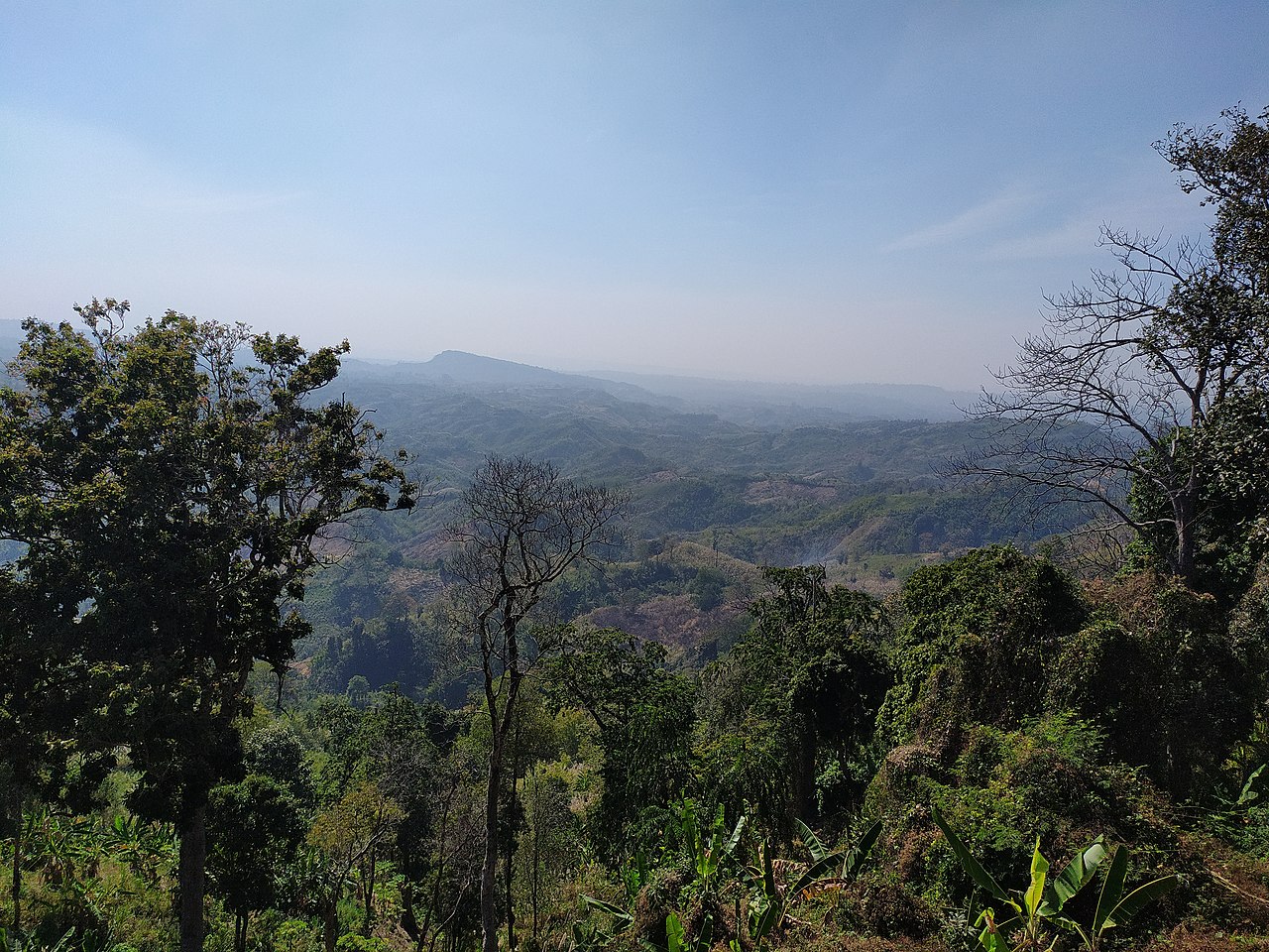
Rangamati (Bengali: রাঙ্গামাটি পার্বত্য জেলা) is a district in the southeastern part of Bangladesh. It forms one of the districts of the Chittagong Hill Tracts, a hilly, forested area distinct from the country’s lowland plains.
Image gallery
10 Images


Overview
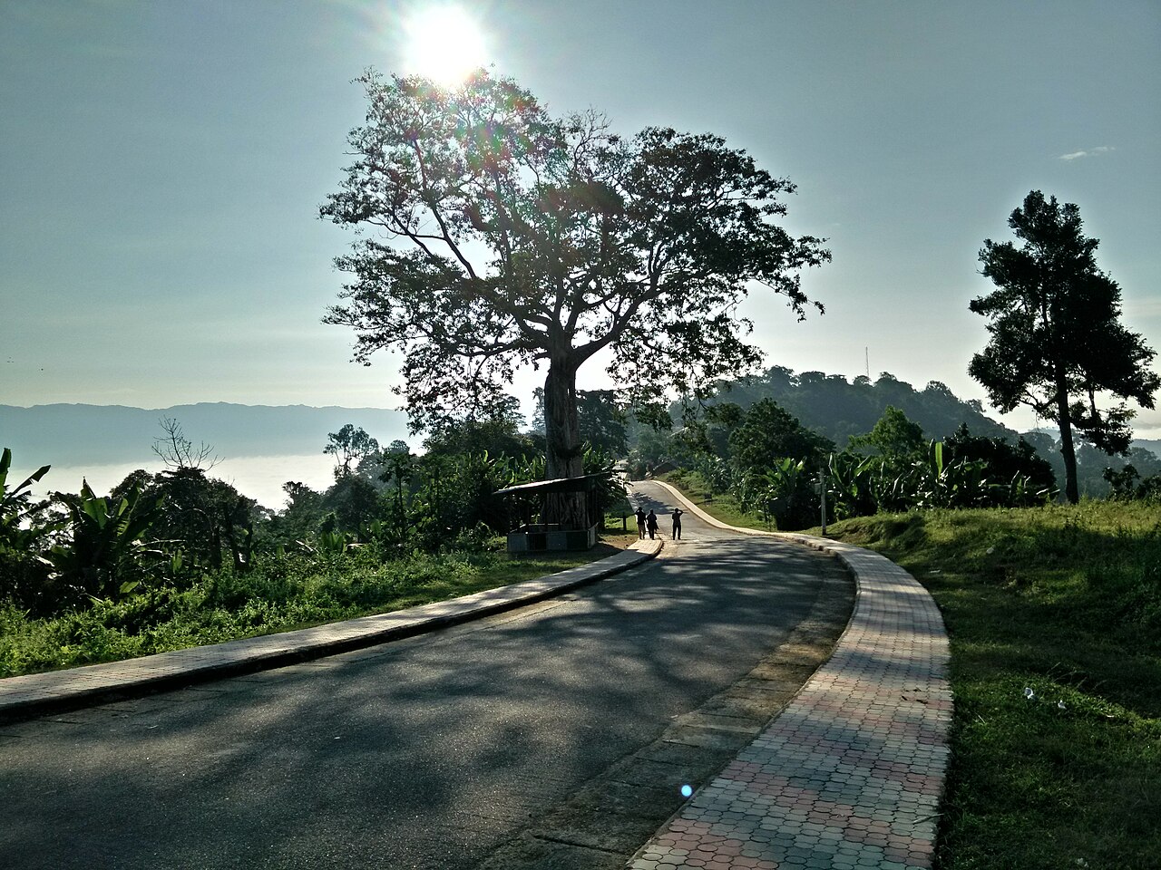
Rangamati combines steep terrain, valleys and waterways. Much of the district’s landscape is shaped by the reservoir created at Kaptai, which is an important local landmark and a source of hydropower, fisheries and tourism. The administrative centre is the town of Rangamati, which serves as the district’s commercial and civic hub.
People and culture
The district is home to a number of indigenous communities with their own languages, traditions and cultural practices. Buddhist, Christian, Hindu and Muslim beliefs are all present among different communities. Local crafts, traditional dress and seasonal festivals contribute to a diverse cultural life.
Administration and economy
Rangamati is managed through the standard administrative units used across Bangladesh: a district headquarters, subdistricts (upazilas), municipalities and lower local councils. The economy relies on a mix of agriculture, forestry, fishing, small-scale trade and services. The hydropower and reservoir formed by the Kaptai Dam also play a role in energy production and in supporting fisheries and tourism.
Tourism and transport
Visitors are drawn by the district’s scenery, boat trips on the Kaptai reservoir, hill views and cultural sites. Road connections link Rangamati to other parts of the Chittagong Hill Tracts and to the plains; local transport often includes boats where waterways are prominent.
Notes
- Rangamati’s environment and society are shaped by its upland geography and the presence of multiple ethnic communities.
- The district is part of the larger administrative and geographic entity known as the Chittagong Hill Tracts, which also includes neighbouring districts.
Related articles
Author
AlegsaOnline.com Rangamati District, Bangladesh: Kaptai Reservoir, Indigenous Communities and Tourism Leandro Alegsa
URL: https://en.alegsaonline.com/art/81130