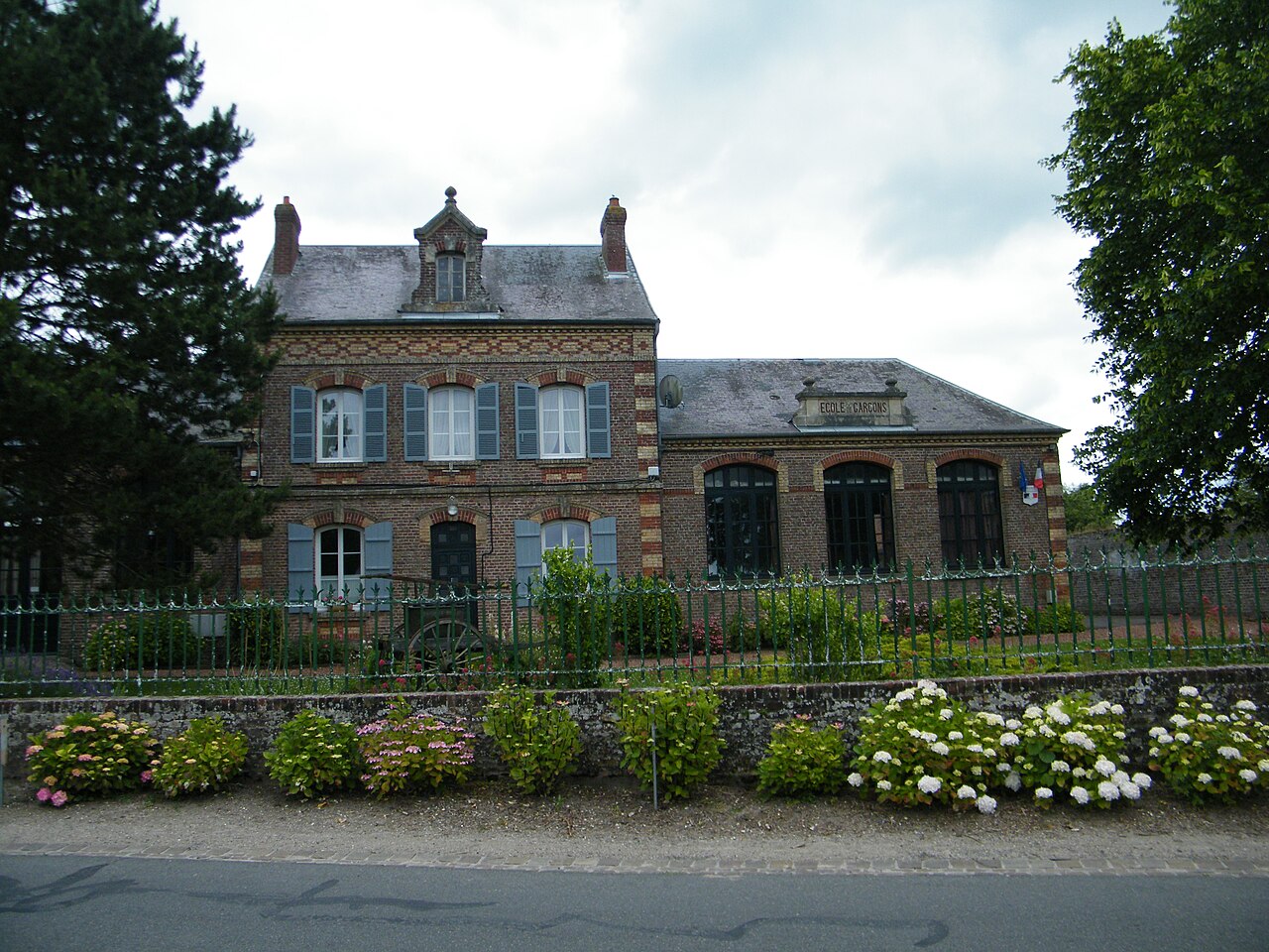
Ponthoile, commune in the Somme department
Ponthoile is a rural commune in northern France, in the historical Picardie area of the Somme department. It is known for its small-village character and agricultural setting.
Ponthoile is a French commune in the historical Picardie region, in the Somme department of north of France. Like many small rural communes, it combines a village center with open farmland and a landscape shaped by centuries of local agriculture.
Image gallery
9 Images


Geography and setting
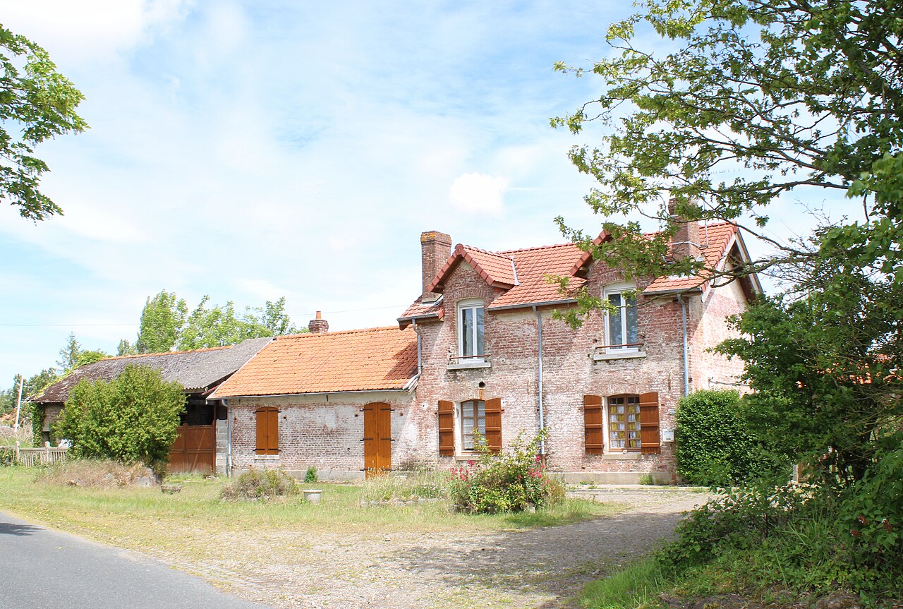
The commune lies in the western part of the department, in a countryside zone influenced by the nearby Somme estuary and the wider coastal area of the Baie de Somme. The setting is typically low-lying and agricultural, with fields, hedgerows, and small roads linking Ponthoile to neighboring villages and market towns. This location gives the commune a quiet, rural character while still keeping it within reach of larger services in the surrounding area.
Local life and administration
As a commune, Ponthoile has a mayor and municipal council responsible for local administration, public services, and planning. In France, the commune is the basic level of local government, so even a small village can manage matters such as roads, community facilities, and day-to-day municipal affairs through its own council. Ponthoile's everyday life is therefore typical of many small French communities: modest in size, locally governed, and closely tied to its rural environment.
- Economy: mainly agriculture and related rural activity.
- Landscape: fields, open countryside, and village housing.
- Identity: part of the cultural and historical fabric of Picardy.
Why it matters
Ponthoile is not a major urban center, but it represents a common and important part of French geography: the small commune. Such places preserve local traditions, support rural land use, and help explain how France's administrative map works at the ground level. For readers interested in regional history or the geography of northern France, Ponthoile offers a representative example of a village commune in the Somme.
Related articles
Author
AlegsaOnline.com Ponthoile, commune in the Somme department Leandro Alegsa
URL: https://en.alegsaonline.com/art/77977