
Lede, East Flanders (Belgium)
Municipality in East Flanders, Belgium. Overview of location, population (2007), geography, history, economy, and local features with links to municipal and provincial resources.
Lede is a municipality in the Belgian province of East Flanders, located in the Flemish Region. It functions as a local administrative unit within Belgium's municipal system and is identified by coordinates approximately 50°58′N, 3°58′E. Official records list the municipality's population in 2007 as 17,195 residents; current figures vary with time and official censuses.
Image gallery
7 Images
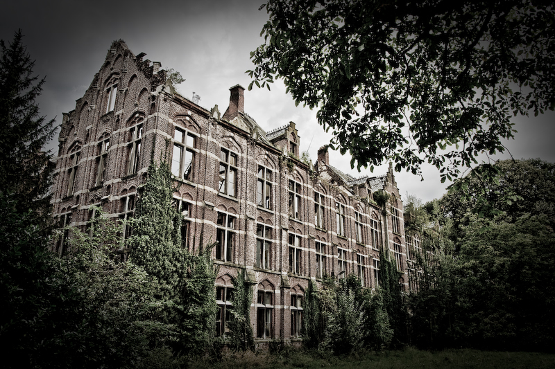



Overview and administration
Lede is governed by a municipal council responsible for services such as urban planning, local education, and public works. The municipality typically includes one or more population centers and surrounding rural areas; local administration connects residents with provincial and regional authorities for larger infrastructure and policy matters.
Geography and landscape
The territory around Lede is characteristic of central East Flanders: relatively flat lowland with a mix of agricultural fields, small woodlands and built-up village areas. The climate is temperate maritime, with mild summers, cool winters and regular rainfall, which supports mixed farming and horticulture in the surrounding countryside.
History and development
Like many towns in this part of Belgium, Lede has roots reaching back to the medieval period when settlements formed around churches, markets and trade routes. Over centuries the locality developed through agriculture, local crafts and later small-scale industry. Architectural and cultural traces from different eras are often visible in municipal buildings and village churches.
Economy, transport and community life
The local economy combines agriculture, small businesses and services that support residents. Public transport and regional roads link Lede with larger urban centers in East Flanders and beyond, enabling commuting, commerce and access to wider regional services. Community life commonly centers on schools, cultural associations, markets and annual events that reflect local traditions.
Further information
- Municipal information: official municipal site
- Province details: East Flanders province
- Regional context: Flemish Region
Coordinates: 50°58′N, 3°58′E. For up-to-date statistics and services consult local or provincial sources linked above.
Related articles
Author
AlegsaOnline.com Lede, East Flanders (Belgium) Leandro Alegsa
URL: https://en.alegsaonline.com/art/56872
Sources
- statbel.fgov.be : Population per municipality as of 1 January 2016
- statbel.fgov.be : Werkelijke bevolking per gemeente op 1 januari 2007 / Population de droit par commune au 1 janvier 2007 (.xls)
- statbel.fgov.be : Geografische coördinaten van de gemeenten (.xls)
- commons.wikimedia.org : Lede