Absheron District (Azerbaijan)
Absheron District is an administrative district east of Baku in Azerbaijan, known for historic villages, medieval tombs and mosques, saline wetlands and a history of agricultural and suburban development.
Overview
The Absheron District (Apsheron, in Azerbaijani: Abşeron Rayon) is an administrative district in eastern Azerbaijan. It lies near the capital region but is a separate raion, with the city of Xırdalan (also written Khirdalan) serving as the administrative centre. The district should not be confused with the larger Absheron Peninsula, which is a nearby geographic feature; the two share a name but are distinct in extent and administrative status. For general reference see Absheron District and more information about the country is available at Azerbaijan.
Image gallery
2 Images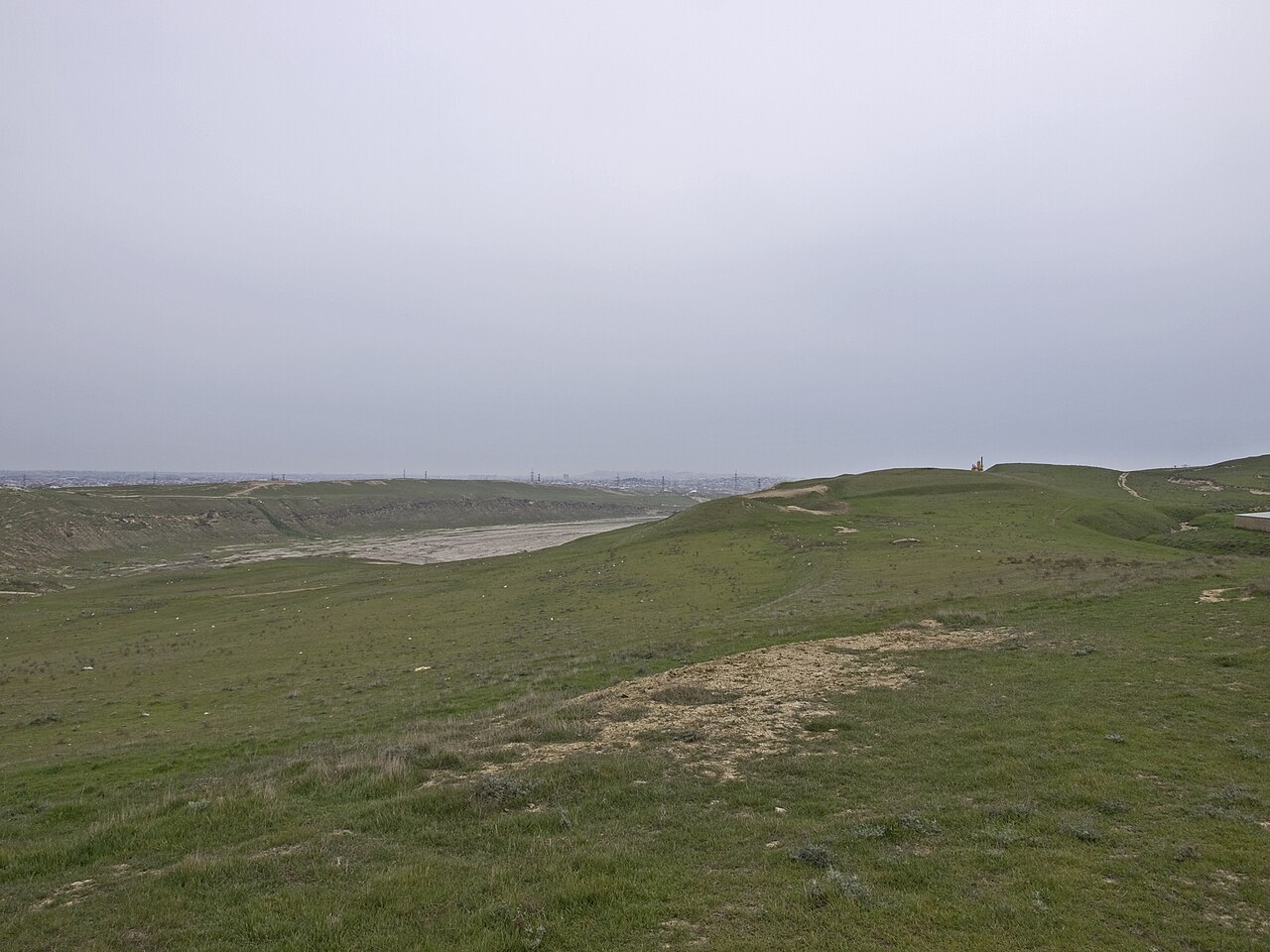

Name and etymology
The district's name derives from older Iranian languages once spoken in the region; a commonly cited etymology interprets the toponym as coming from elements meaning "water" and "salty" or "saline," reflecting the presence of salt flats, saline lakes and mineralized groundwater in parts of the area. This linguistic origin is frequently invoked to explain similar place names across the southern Caspian littoral.
History and cultural heritage
The modern Absheron District was created during the Soviet period in 1963 as an administrative unit, but the territory has a much older human record. Archaeological remains, burial monuments and medieval structures attest to continuous settlement over many centuries. Local villages preserve historic mosques, cemetery complexes and rural wells that illustrate traditional life.
- Religious architecture: Several villages contain mosques from the 18th and 19th centuries that remain landmarks of local craftsmanship and community life.
- Tombs and cemeteries: Tombs dated across a broad medieval and early modern span have been documented in multiple settlements, indicating long-standing habitation and local lineages.
- Historic infrastructure: Stone and earthen wells and other waterworks survive in some communities and have been part of village water supply for generations.
Geography and environment
Absheron District occupies lowland terrain typical of the eastern approaches to the Caspian Sea. The climate is generally semi-arid with hot summers and mild winters; soils and groundwater in parts of the district may be mineralized, and saline lakes and salt marshes occur nearby. This landscape shaped traditional livelihoods and also influenced settlement patterns, with agriculture adapted to local conditions.
Economy and settlement
The district's economy combines agriculture, small-scale industry, and services. Proximity to Baku has encouraged suburban growth, commercial development and improved transport connections, while some communities retain farming and livestock practices. Xırdalan functions as the district's central hub for administration, marketplaces and industry, and many smaller villages provide cultural and historical continuity.
Administration and transport
Administratively, Absheron District comprises a number of villages and municipalities organized under the raion government in Xırdalan. Road links and commuter routes connect the district to the capital and to neighboring administrative units, supporting daily travel for work, education and trade.
Notable distinctions and conservation
Important distinctions to bear in mind are the difference between Absheron District and the geographically defined Absheron Peninsula, and the distinct administrative role of Baku, which is a separate entity. The district's historic monuments and archaeological traces are part of the broader cultural heritage of Azerbaijan and are of interest to researchers, local communities and visitors. Preservation of these sites often involves local authorities and national heritage bodies working to balance development and conservation.
Related articles
Author
AlegsaOnline.com Absheron District (Azerbaijan) Leandro Alegsa
URL: https://en.alegsaonline.com/art/505