Eure (department) — Normandy, northwestern France
Eure is a department in Normandy with Évreux as its prefecture. Created during the French Revolution and named for the Eure river, it is known for river valleys, historic sites, rural landscapes and market towns.
Overview — Eure is an administrative department in northwestern France, part of the Normandy region. Its prefecture is Évreux. The department takes its name from the Eure river, which together with the Seine shapes much of the territory. Eure was created during the French Revolution as one of the original 83 departments and combines agricultural plains, wooded areas and river valleys. Population figures vary by year; an earlier estimate placed it at about 557,000 inhabitants (2006).
Image gallery
6 Images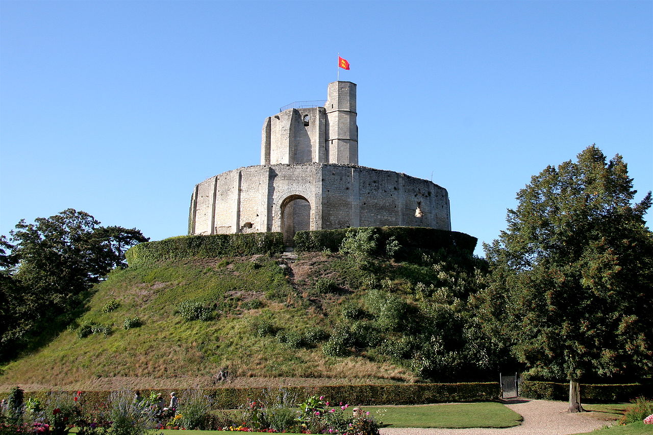


Geography and landscape
The landscape of Eure features gently rolling countryside, fertile river valleys and stretches of mixed woodland. The Seine crosses the southern and central parts of the department and the Eure river gives its name to the area. These waterways have long influenced settlement, transport and local industry. The climate is temperate, with maritime influences from the nearby English Channel that moderate temperatures and support diverse agriculture.
History and development
Before the Revolution the territory formed part of the medieval Duchy of Normandy and retains many historical sites from medieval and later periods. The department was established in the late 18th century during the reorganisation of France into departments. Over following centuries small towns grew as administrative, commercial and market centres while rural communities maintained agricultural traditions.
Administration and demographics
Eure is governed at the departmental level and subdivided into arrondissements, cantons and communes. Évreux is the administrative centre and seat of the prefecture and departmental council. The population is distributed between small towns, villages and rural communes; some areas near the Seine and transport corridors have higher densities while much of the department remains predominantly agricultural.
Economy, culture and tourism
The local economy mixes agriculture (cereals, dairy and mixed farming), small and medium industry, and services. Tourism plays a role through historic sites, cultural attractions and scenic landscapes. Notable cultural draws include the gardens at Giverny, associated with the painter Claude Monet, and medieval monuments such as Château Gaillard. Regional festivals, markets and museums highlight local crafts and traditions.
Transport and infrastructure
Eure is served by regional roads and rail links that connect it with Rouen, Paris and other parts of Normandy and Île-de-France. River corridors influenced historic transport and some towns remain linked to river commerce and leisure navigation. Public services are concentrated in the larger communes, while smaller communes rely on intercommunal cooperation for many facilities.
Places of interest and towns
- Évreux — prefecture and cathedral town with administrative and cultural institutions
- Vernon — riverside town near Giverny and a gateway for visitors to Monet's garden
- Les Andelys — overlooking the Seine and the site of Château Gaillard
- Bernay and Louviers — historic market towns with timber-framed architecture
- Gisors — fortified town with medieval heritage
- Pont-Audemer — known for canals and traditional riverside character
Further information — For administrative procedures, tourism details or up-to-date statistics consult departmental and municipal resources. Official sites and regional guides provide maps, transport information and practical advice for visitors and residents: see regional tourism pages and local archives for more in-depth material. Further reading and official portals may offer current demographic updates and visitor information.
Related articles
Author
AlegsaOnline.com Eure (department) — Normandy, northwestern France Leandro Alegsa
URL: https://en.alegsaonline.com/art/32554