
Cherokee Outlet (Cherokee Strip): geography, history and legacy
A concise account of the Cherokee Outlet — its location in present-day Oklahoma, physical characteristics, creation and cession, the 1893 opening to settlement, economic uses, and lasting significance.
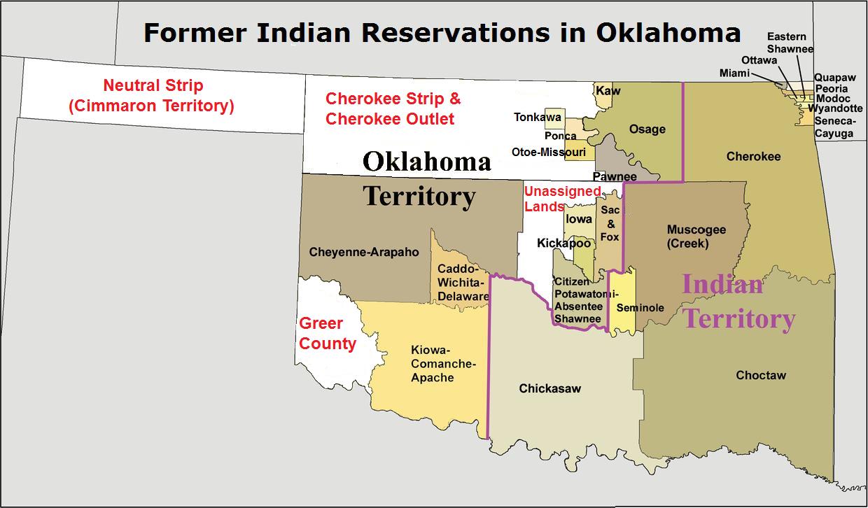
Overview. The Cherokee Outlet, commonly called the Cherokee Strip, was a broad belt of land in what is now northern Oklahoma within the boundaries of the United States. It formed a roughly sixty‑mile‑wide zone along the southern edge of the Oklahoma–Kansas border, generally between the 96th and 100th meridians. Although the popular name "Cherokee Strip" remains in use, officials typically distinguished the larger Cherokee Outlet from a much narrower strip that became the source of the nickname.
Image gallery
5 Images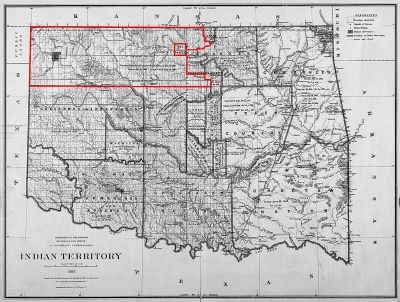

Geography and characteristics
The Outlet was prairie and mixed grassland suitable for grazing and seasonal migration. Its width and position made it a natural corridor for cattle drives and for movement between Indian Territory and Kansas. The ground varied from rolling plains to occasional river valleys. Because it lay along a political border, the Outlet was strategically important for transportation routes and later for settlement patterns within the evolving map of the region.
Origins and legal status
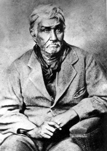
Following the forced relocation of the Cherokee people into Indian Territory in the 1830s, the tribe was assigned lands that included a western "outlet" intended to provide room for hunting, grazing, and future expansion. Over the mid‑ to late‑19th century the Outlet remained under Cherokee jurisdiction even as non‑Indian use increased. The federal government, the Cherokee Nation, cattlemen and settlers contested access and control, and a series of agreements and negotiations gradually reduced Cherokee authority over the area.
Settlement and the 1893 opening
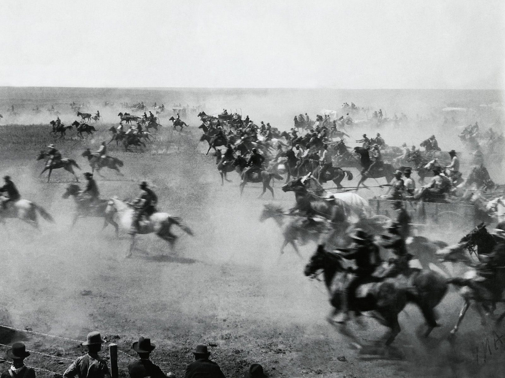
Pressure for non‑Indian settlement culminated in the late 19th century when the United States acquired rights to open much of the Outlet for homesteading. The most famous event was the public run that opened millions of acres to settlers, a chaotic and celebrated episode that produced new towns and farms almost overnight. Many of the participants were called "boomers" and "sooners"; the latter term referred to people who entered the land early and became associated with later controversies over claims.
Uses, economy and social impact
- Ranching: Before settlement, the Outlet supported large cattle operations and seasonal grazing leases with ranchers from surrounding states.
- Transportation: Its position along the border funneled cattle trails and later rail lines into emerging market towns.
- Settlement: After opening, the landscape changed rapidly to farms, towns and counties, reshaping local demographics and economy.
The opening of the Outlet profoundly affected the Cherokee Nation and other Indigenous peoples: lands once held under tribal governance were absorbed into the public domain, altering traditional uses and governance structures.
Legacy and distinctions
The Cherokee Outlet remains notable for several reasons: it illustrates the late‑19th‑century policy of transferring Indian lands to non‑Indian settlement; it contributed to the development of northern Oklahoma; and it left cultural marks in place names and local memory. The common label "Cherokee Strip" persists, but historians and legal documents usually reserve "Outlet" for the full belt of land involved in these events. For further regional context and historical records consult dedicated resources and local archives.
See also: settlement patterns in Oklahoma, land runs and cattle frontier history.
Related articles
Author
AlegsaOnline.com Cherokee Outlet (Cherokee Strip): geography, history and legacy Leandro Alegsa
URL: https://en.alegsaonline.com/art/19290