
Brownsville, Texas: border city at the southern tip of the state
Overview of Brownsville, Texas: geography, history, economy, culture, transportation, and notable facts about this border city and county seat on the Rio Grande.
Overview
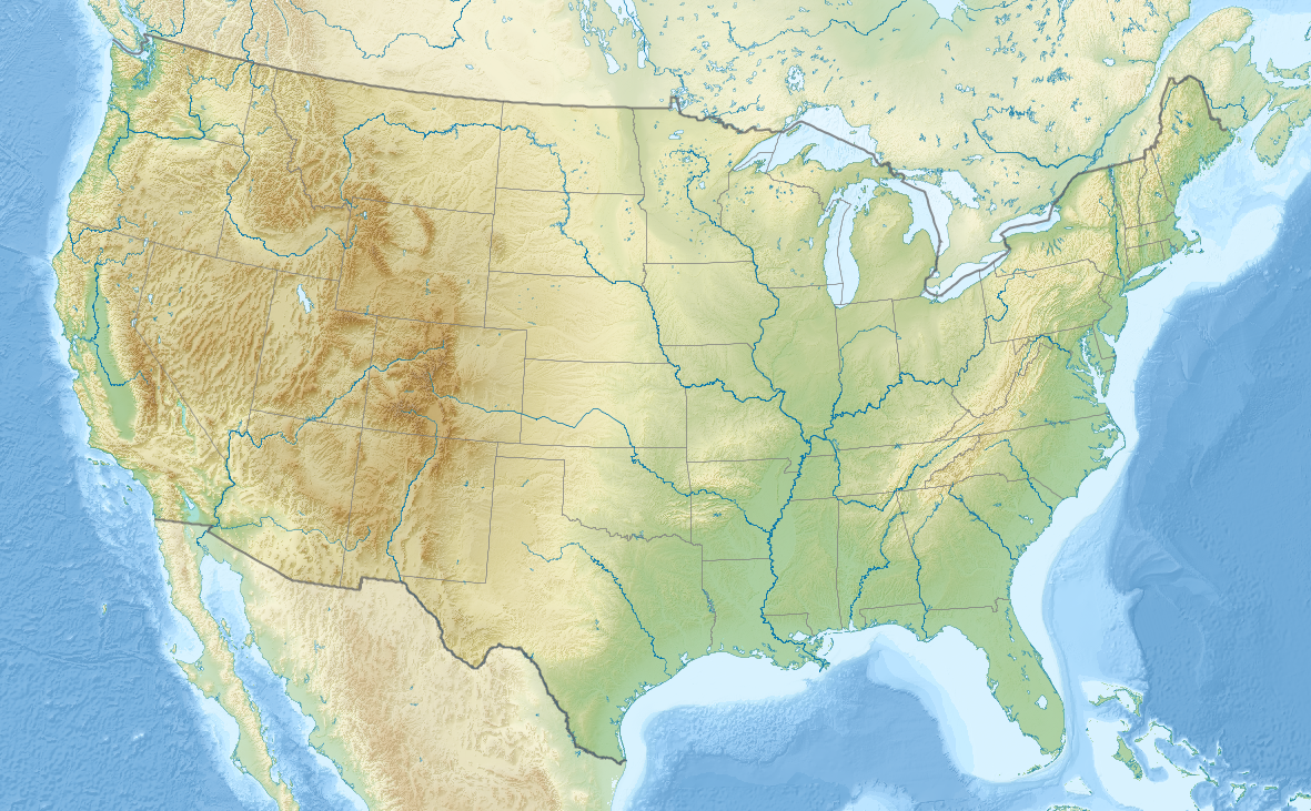
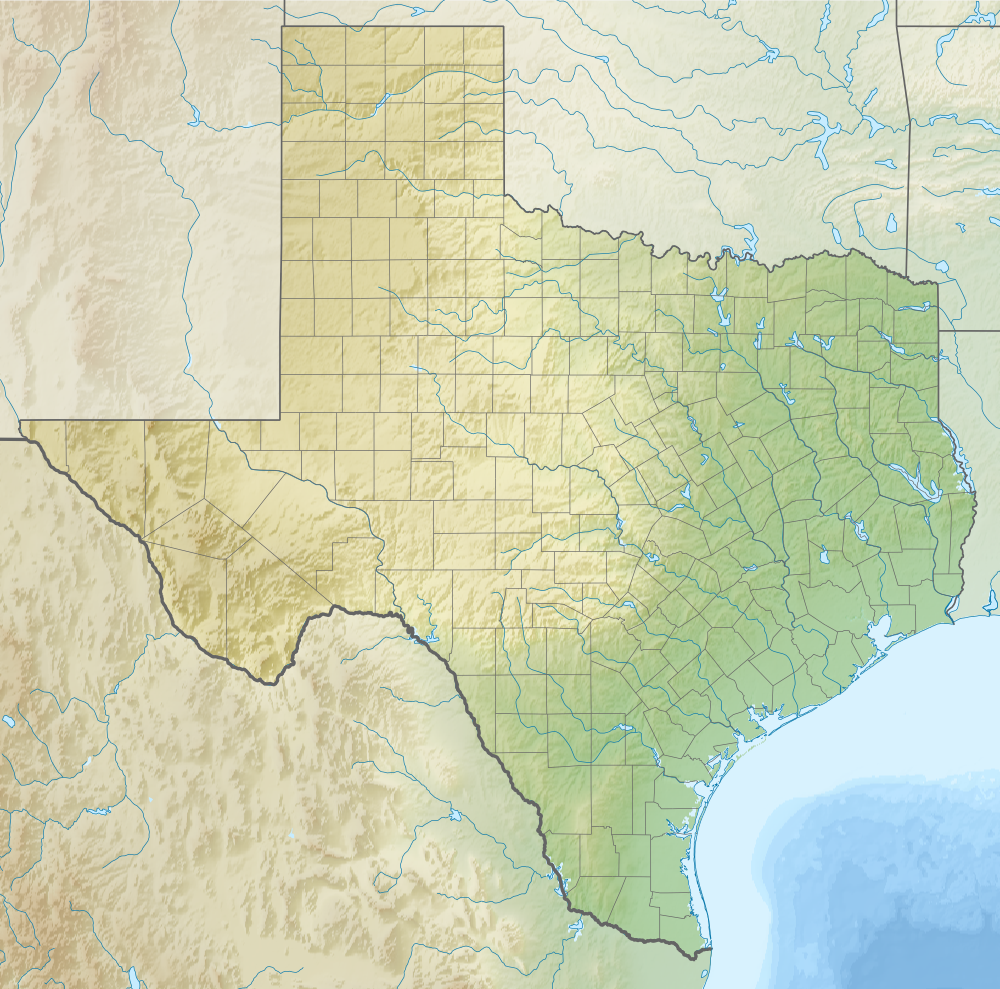
Brownsville is a city located at the southern tip of Texas along the Rio Grande. It is the county seat of Cameron County and forms part of a binational metropolitan area with Matamoros, Tamaulipas, across the border. Local estimates and past counts have placed the city's population in the hundreds of thousands; a mid-2000s figure recorded about 167,493 residents. The city's location and size make it a regional center for cross-border commerce and services.
Image gallery
10 Images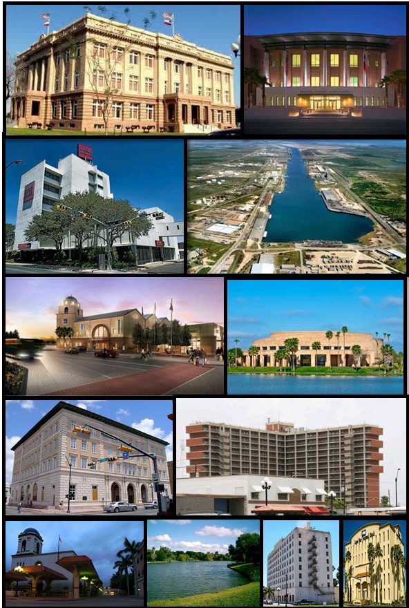




Geography and climate
Brownsville sits on flat coastal plain near the Gulf of Mexico, and its environment includes coastal wetlands, estuaries and subtropical brush. The climate is generally warm to hot year-round, with humid summers and mild winters. Weather patterns leave the area vulnerable to tropical storms and occasional hurricanes, as well as seasonal subtropical ecological communities.
History and development
European-American settlement and formal establishment of Brownsville date to the mid-19th century, in the wake of conflicts that reshaped the U.S.–Mexico border. The city and nearby Fort Brown played roles in several military and diplomatic episodes of that era. Over the following decades Brownsville grew as a port and border crossing, shaped by trade, migration and its proximity to Mexico.
Economy, transport and infrastructure
Brownsville's economy centers on international trade, logistics, light manufacturing and tourism. The Port of Brownsville handles cargo and ship repair, and the city's airport connects the region to larger hubs. Transportation links include international bridges to Matamoros and regional highways. In recent years, nearby coastal sites have drawn aerospace activity and increased attention to the region.
Culture and community
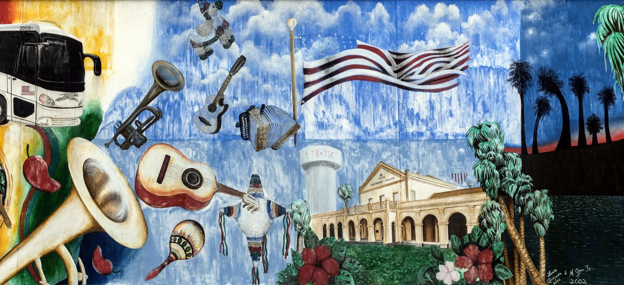
The city's culture reflects a deep blend of Anglo and Hispanic influences, visible in language, festivals, cuisine and architecture. Educational institutions, museums and historic districts document local heritage. Brownsville also serves as a gateway to natural areas and birding sites that attract visitors and support conservation efforts.
Notable features and distinctions
- Binational metropolitan setting adjacent to Mexico, with active cross-border movement and commerce.
- Historic military sites and a legacy tied to 19th-century border history.
- Nearby coastal and wildlife refuges valued for birdwatching and biodiversity.
- Regional transportation nodes including bridges, a seaport and an international airport.
- Referenced in demographic and municipal data such as state and local profiles.
As a border city, Brownsville continues to evolve under influences of trade, culture and environmental factors, balancing urban development with the preservation of its natural and historic assets.
Related articles
Author
AlegsaOnline.com Brownsville, Texas: border city at the southern tip of the state Leandro Alegsa
URL: https://en.alegsaonline.com/art/14812
Sources
- tsl.texas.gov : "Official Capital Designations"
- www2.census.gov : "State-Based Places Gazetteer Files – Texas"
- www2.census.gov : "Urban Areas Gazetteer File"
- www2.census.gov : "State-Based Counties Gazetteer Files – Texas"
- factfinder2.census.gov : "American FactFinder" · web.archive.org
- geonames.usgs.gov : "US Board on Geographic Names"
- factfinder.census.gov : "Annual Estimates of the Resident Population: April 1, 2010 to July 1, 2017 - United States -- Combined Statistical Area; and for Puerto Rico"
- factfinder.census.gov : "Annual Estimates of the Resident Population: April 1, 2010 to July 1, 2017 - United States -- Metropolitan Statistical Area; and for Puerto Rico"
- www2.census.gov : "A national 2010 urban area file containing a list of all urbanized areas and urban clusters (including Puerto Rico and the Island Areas) sorted by UACE code"