List of rivers of Puerto Rico
An organized overview of Puerto Rico's principal rivers: geography, major waterways, uses, history, and notable hydrological features.
Overview
Puerto Rico is carved by numerous freshwater streams and rivers that originate in its central mountains and empty into the Atlantic Ocean and the Caribbean Sea. This article presents an organized list and summary of the island's principal watercourses, their roles in ecology and society, and distinguishing characteristics of their basins. For general reference to aquatic networks see rivers, and for regional context see Puerto Rico.
Image gallery
8 Images
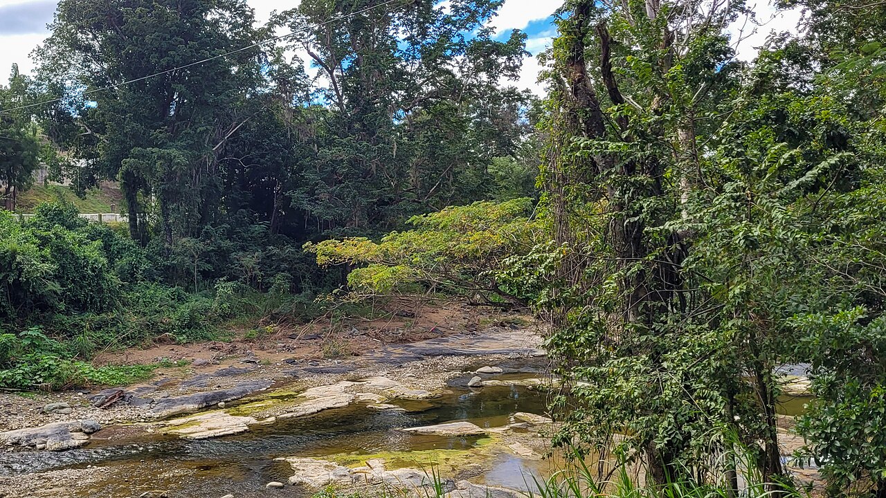


Geography and hydrology
Most rivers begin in the Cordillera Central (central mountain range) and flow outward toward the north, south, east or west coasts. Northern-flowing rivers are often steep and short, responding quickly to rainfall; southern rivers may be more seasonal. Karst limestone in the northwestern region produces sinking streams and subterranean channels, while rainforest headwaters yield steady baseflow.
Major rivers (selected)
- Río de la Plata — commonly cited as the island's longest river, flowing north to the Atlantic.
- Río Grande de Loíza — one of the largest by watershed and historical importance for water supply and flood management.
- Río Grande de Arecibo — drains a large northern basin and passes through agricultural and urban areas.
- Río Camuy — notable for its passage through cave systems in the karst region.
- Río Bayamón — serves the greater San Juan metropolitan area and has been heavily managed.
- Río Grande de Manatí, Río Culebrinas, Río Guajataca, Río Jacaguas, and Río Inabón — other important regional rivers.
Uses and importance
Rivers supply municipal and agricultural water, support ecosystems, and have historically powered mills. They are central to flood risk planning and watershed management, and several reservoirs and diversion works have been built to regulate flow. River corridors are also important for recreation, fisheries and cultural heritage.
History, management and notable facts
Indigenous Taíno communities relied on rivers for food and transport before Spanish colonization introduced mills and irrigation. During the 19th and 20th centuries, dams, channels and municipal systems altered many natural courses. Today, river restoration, flood mitigation and watershed conservation are priorities. The Camuy underground river system is a well-known geological attraction, and the Río Grande de Loíza remains prominent for its large basin and influence on urban water supplies.
For a systematic list of named streams and official hydrological data consult regional authorities and hydrological inventories that document Puerto Rico's diverse river network.
Related articles
Author
AlegsaOnline.com List of rivers of Puerto Rico Leandro Alegsa
URL: https://en.alegsaonline.com/art/125064
Sources
- geonames.usgs.gov : USGS Geographic Names Information Service
- linktopr.com : Rios de Puerto Rico · web.archive.org