Umatilla County, Oregon
Umatilla County is a largely rural county in northeastern Oregon, bordering the Columbia River. Its county seat is Pendleton; the area is known for agriculture, Native American heritage, and the Pendleton Round‑Up.
Umatilla County lies in the northeastern corner of the U.S. state of Oregon. Covering roughly 3,231 square miles (about 8,369 km²), the county is predominantly land with a mix of river valleys, rolling plateau and arid uplands. The county seat is Pendleton, a regional center for government, trade and cultural events.
Image gallery
7 Images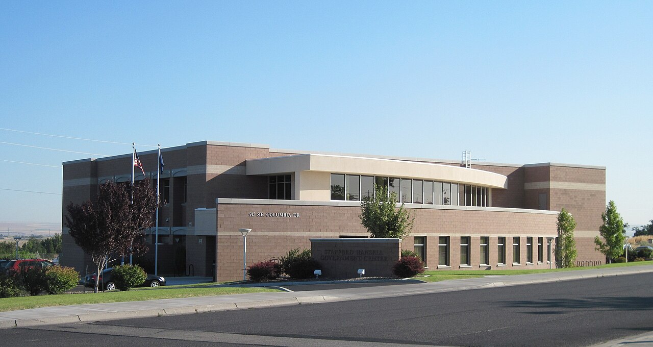


Overview and population
The county combines small cities, agricultural towns and wide open countryside. Population has generally hovered in the tens of thousands, with residents concentrated in a few urbanized centers and many smaller communities. Local economies vary between irrigated farming, dryland grain production, ranching and light industry. The Columbia River forms much of the northern boundary and helps supply irrigation that supports crops in the river valley.
History and name
Established in the mid‑19th century, the county takes its name from the Umatilla River and the Umatilla people, a Native American tribe native to the region. The area developed as settlers moved into the Pacific Northwest, bringing ranching and grain farming. The Umatilla Indian Reservation remains an important cultural and political presence in the county today.
Communities and government
Besides Pendleton, other principal communities include Umatilla, Hermiston, Irrigon, Stanfield and Milton‑Freewater. Local government is administered from the county seat and includes elected commissioners and department offices that serve rural and urban needs.
- Major towns: Pendleton, Hermiston, Umatilla
- Rural features: wheat fields, cattle ranches, irrigation districts
- Tribal lands: presence of the Umatilla Indian Reservation
Economy, culture and notable facts
Agriculture is a central industry: wheat, hay, vegetables and seed crops are common, supported by irrigation in the Columbia basin. Pendleton is famous for the Pendleton Round‑Up, one of the oldest rodeos in the United States, which draws visitors annually. The county also has transportation links that serve regional trade and energy infrastructure, and sites of historic and recreational interest along the river. For demographic and administrative data consult official county and state sources or archived reports such as those cited by local agencies and census summaries (data source).
For more details on geography, services and visiting information see county materials and regional guides available through municipal and tribal offices.
Related articles
Author
AlegsaOnline.com Umatilla County, Oregon Leandro Alegsa
URL: https://en.alegsaonline.com/art/102724