Harringay — neighbourhood in the London Borough of Haringey
Harringay is a residential and commercial neighbourhood in the London Borough of Haringey, centred on Green Lanes between Finsbury Park and Turnpike Lane, known for Victorian terraces and diverse high street culture.
Overview
Harringay (pronounced /ˈhærɪŋɡeɪ/) is a neighbourhood in the London Borough of Haringey, in north London. It is centred on a long stretch of Green Lanes running between the New River at the southern edge near Finsbury Park and Duckett's Common close to Turnpike Lane. The area combines predominantly residential streets with a busy high street and a diverse, multicultural local population.
Image gallery
8 Images


Geography and layout
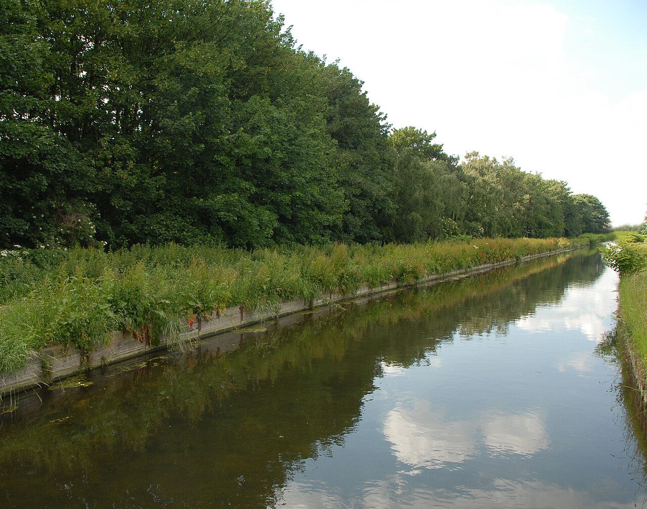
Harringay occupies a narrow corridor of streets bounded by railway lines and main roads, giving it a compact, linear character. Green Lanes provides the neighbourhood's commercial spine, lined with independent shops, cafés and restaurants. Nearby open spaces include parts of Finsbury Park to the south and several small commons and recreation grounds. The New River, an 17th-century man-made watercourse, forms a visible southern boundary and has influenced the settlement pattern along the road.
History and development
Long part of London's suburban expansion, Harringay developed in the 19th and early 20th centuries as transport links improved and agricultural land was built over. Rows of Victorian and Edwardian terraces were constructed to house workers and their families, while local businesses grew up along Green Lanes to serve them. The arrival of rail and tube services in the area consolidated Harringay's role as a residential district with good connections to central London.
Architecture and housing
Housing in Harringay is characterised by terraced villas and houses dating from the Victorian and Edwardian periods, often with decorative brickwork and modest front gardens. These are interspersed with small apartment blocks and occasional municipal buildings. The street pattern and scale give the area a strong sense of domestic urbanity, and many streets retain original period features that contribute to local conservation considerations.
Transport
Public transport plays a central role in Harrisngay's accessibility. Harringay Green Lanes Overground station provides local rail services, while nearby Finsbury Park and Turnpike Lane stations on the Underground network connect residents to central London and beyond. Frequent bus services run along Green Lanes and surrounding roads, making the neighbourhood well linked for commuting and leisure travel.
Economy and culture
The high street along Green Lanes is an active retail and dining area, noted for a concentration of cafés, restaurants and shops run by Turkish, Kurdish, Greek and other communities, which contribute to a distinctive culinary scene. Independent traders, specialist grocers and service shops coexist with a selection of small offices and local professional services. Community life is animated by local shops, occasional street events and the proximity of larger cultural facilities in neighbouring districts.
Community, conservation and change
Harringay has a mixed population of long-standing residents and newcomers attracted by its housing stock and transport links. Parts of the neighbourhood are within conservation areas or have locally listed buildings, reflecting community interest in preserving period character. At the same time, development pressures and rising demand for housing have led to changes in building use and local amenities, a topic of ongoing local discussion and planning attention.
Distinctions and notes
The neighbourhood of Harringay should not be confused with the wider administrative borough, the London Borough of Haringey, which uses a different spelling and covers a much larger area. Local place names such as Harringay Green Lanes identify shopping and station areas and help maintain a distinct local identity within the borough. The area continues to be valued for its mix of period housing, active high street and good connections to central London.
- Central commercial strip along Green Lanes
- Predominantly Victorian and Edwardian terraces
- Close to Finsbury Park and local open spaces
- Well served by Overground, Underground and bus services
Related articles
Author
AlegsaOnline.com Harringay — neighbourhood in the London Borough of Haringey Leandro Alegsa
URL: https://en.alegsaonline.com/art/42550