
Timiș (river)
Timiș is a 359 km river rising in Romania's Semenic Mountains, flowing west through the Banat and crossing into Serbia to join the Danube near Pančevo; it shapes regional landscapes, settlements and land use.
Overview: The Timiș (known in Romanian as Timiș, in Serbian as Тамиш / Tamiš, in German as Temesch and in Hungarian as Temes) is a medium‑sized river of Central Europe. It begins in the Semenic Mountains and travels generally westward across the Banat plain before joining the Danube.
Image gallery
6 Images


Course and physical characteristics
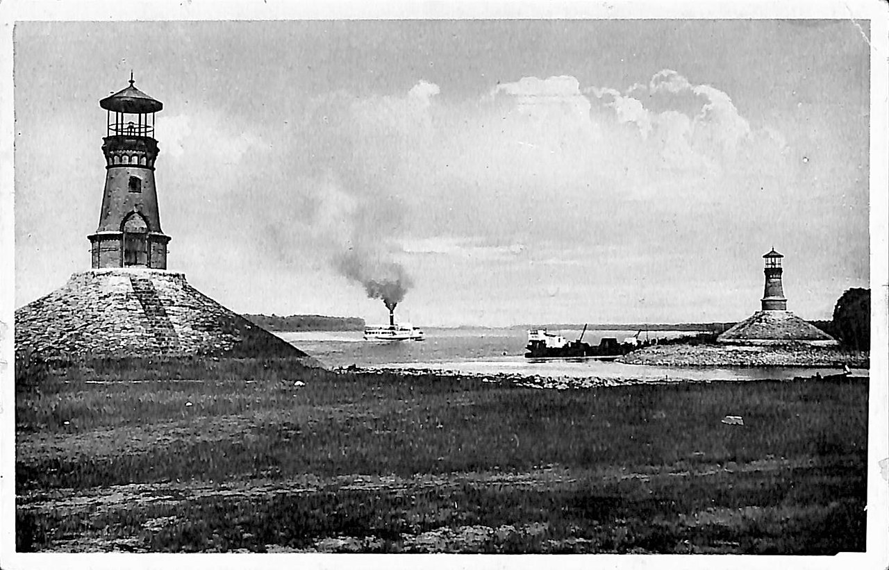
The source lies in the southern Carpathian foothills, in the Semenic range, within Caraș‑Severin County (Semenic Mountains, Caraș‑Severin). From upland streams it becomes a single channel that descends into lowlands and meanders through agricultural terrain. After crossing the national border it enters northern Serbia and discharges into the Danube near the town of Pančevo (Pančevo), joining the major European waterway (Danube).
Human settlements and uses
The Timiș basin supports several towns and rural communities. Historically the river corridor has been important for local transport, water supply, irrigation and milling. Today its floodplains are used for agriculture and fisheries, while sections near urban areas are influenced by industrial and municipal water uses. Navigation is limited to smaller craft in places; larger commercial traffic is concentrated on the Danube.
Ecology and management
The river passes through upland forests, wetlands and cultivated plains, providing habitats for fish, amphibians and riparian vegetation. Like many rivers in mixed agricultural and urban regions, it faces challenges such as flood risk, water pollution and channel modification. Flood control works and river management schemes have been implemented in segments of the basin to reduce seasonal flooding and to protect infrastructure.
History and cultural significance
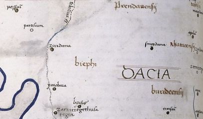
Throughout history the Timiș has shaped settlement patterns in the Banat: villages and market towns often arose along its banks. Its valleys provided routes across the region and a resource base for traditional activities such as milling and grazing. The river appears in local place names and has featured in cross‑border cooperation on water management between Romania and Serbia.
Notable distinctions
- Length and route: a transboundary river linking the southern Carpathians with the Danube.
- Regional role: supports agriculture and local economies in the Banat plain.
- Environmental focus: subject of restoration and flood mitigation efforts to balance human use and ecological values.
Questions and answers
Q: What is the Timiș river?
A: The Timiș river is a 359-kilometre long river that flows through Caraş-Severin County, Romania and into the Danube near Pančevo, in the northern part of Serbia.
Q: What are the different names used to refer to the Timiș river in different languages?
A: In different languages, the Timiș river is known as Timiş in Romanian, Тамиш or Tamiš in Serbian, Temesch in German and Temes in Hungarian.
Q: Where does the Timiș river originate from?
A: The Timiș river originates from the Semenic Mountains, which is the southern part of the Carpathian Mountains.
Q: Which region does the Timiș river flow through?
A: The Timiș river flows through the Banat region.
Q: What is the total length of the Timiș river?
A: The Timiș river is 359-kilometre long.
Q: Which county does the Timiș river flow through in Romania?
A: The Timiș river flows through Caraș-Severin County in Romania.
Q: Where does the Timiș river ultimately flow into?
A: The Timiș river flows into the Danube near Pančevo, in the northern part of Serbia.
Related articles
Author
AlegsaOnline.com Timiș (river) Leandro Alegsa
URL: https://en.alegsaonline.com/art/99968