
Bechuanaland: history, geography and colonial division of a Tswana region
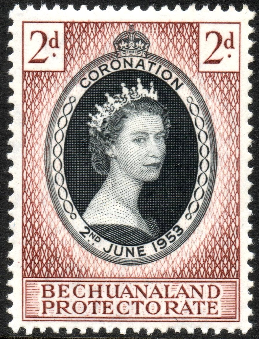
Bechuanaland was a Tswana-speaking region in southern Africa placed under British protection in 1885 and later divided: the southern part joined South Africa, the northern protectorate became modern Botswana in 1966.
Overview
Bechuanaland referred to a broad swathe of Tswana-speaking territories in southern Africa. During the late 19th century, amid Boer expansion and competing imperial interests, parts of this region came under formal British protection. The colonial-era name covered lands occupied by several Tswana chiefdoms and later split into a southern portion that was absorbed into South African colonial structures and a northern protectorate that became the basis for the independent state of Botswana.
Image gallery
9 Images




Geography and peoples
The region comprised semi-arid savanna, seasonal river valleys and areas of pastoral and agricultural use. Principal groups included the Bangwato and other Tswana clans; settlements and polities were dispersed rather than forming a single centralized state. Colonial administrators used natural features such as the Molopo River as convenient boundaries when partitioning the area, a decision that left communities and grazing lands separated by a new frontier.
Historical background
In the early 1880s incursions by Boer settlers led to the creation of short-lived entities such as Stellaland and Goshen on territory claimed by Tswana chiefs. Facing pressure from these settlers and fearing annexation, some Tswana leaders sought outside assistance. Missionaries and local rulers petitioned British authorities for protection. The resulting intervention in 1885 is commonly described as the establishment of British protection over the Tswana lands; contemporary summaries of the proclamation appear in archival accounts and introductions to the protectorate period (protectorate proclamation).
Protectorate, division and administration
Following the British declaration, an expedition from the Cape removed Boer occupation forces and British officials asserted control. The territory was effectively divided along the Molopo River: lands north of that line were administered as the Bechuanaland Protectorate, while lands to the south became British Bechuanaland and were subsequently incorporated into the Cape Colony and later the Union of South Africa. The northern entity was administered under a system of indirect rule that preserved some authority for Tswana chiefs and traditional institutions and would later evolve into an independent state (modern Botswana).
Key persons and events
- Khama III and other Tswana leaders who pursued British protection as a strategy to resist Boer annexation.
- John MacKenzie of the London Missionary Society, who advised and encouraged some chiefs to seek imperial protection.
- The Warren Expedition, sent to remove Boer positions and establish British authority in 1885.
Size, capital arrangements and imperial role
The protectorate covered a large area often quoted at about 582,000 square kilometres. Early British administration used administrative centres that sometimes lay outside the protectorate boundaries; notably the government office was based at Mafeking (now Mahikeng), which was geographically south of the Molopo and therefore outside the protectorate proper (administrative arrangements, Mahikeng/Mafeking). Great Britain acted to check Boer expansion in the region and to stabilise frontiers between settler polities and African chiefdoms (British involvement).
Later outcomes and legacy
Over the 20th century the northern protectorate developed institutions and a territorial identity that culminated in independence as the Republic of Botswana in 1966. The southern portion was absorbed into the political evolution of what became the Union and later the Republic of South Africa (South Africa). The history of Bechuanaland illustrates common themes of the colonial era: diplomacy by African leaders, missionary influence, intervention by imperial powers, and boundary-drawing whose effects persisted into the post‑colonial period.
Further reading
Readers seeking more detail should consult regional histories, primary archival records of the 1880s, missionary correspondence, and administrative documents relating to the Warren Expedition and the legal instruments that defined protectorate status and territorial boundaries.
Questions and answers
Q: What was Bechuanaland?
A: Bechuanaland was a federation of Tswana lands that stretched from present-day Botswana to the Batlhaping area around present-day Kimberley, South Africa.
Q: When was Bechuanaland declared a British protectorate?
A: Bechuanaland was declared a British protectorate in 1885.
Q: What divided Bechuanaland?
A: The Molopo River divided Bechuanaland.
Q: What were the areas to the South of the Molopo River called?
A: The areas to the South of the Molopo River were called British Bechuanaland.
Q: When was Bechuanaland Protectorate granted independence?
A: Bechuanaland Protectorate was granted independence in 1966.
Q: Who convinced the Tswana rulers to seek protectorate status?
A: The Christian missionary John MacKenzie of the London Missionary Society convinced the Bangwato ruler Khama III and other Tswana rulers to seek protectorate status.
Q: What was the capital of Bechuanaland Protectorate?
A: The capital of Bechuanaland Protectorate was the modern-day city of Mahikeng, then called Mafeking, in South Africa.
Related articles
Author
AlegsaOnline.com Bechuanaland: history, geography and colonial division of a Tswana region Leandro Alegsa
URL: https://en.alegsaonline.com/art/9994