The Wash — large estuary on England's east coast
The Wash is a broad, square‑mouthed estuary between Norfolk and Lincolnshire on England's east coast, renowned for expansive tidal flats, rich birdlife and international wetland protection.
The Wash is a broad, square‑mouthed estuary on the northwest edge of East Anglia, where the eastern coastline of England opens into shallow coastal waters. It lies at the meeting point of Norfolk and Lincolnshire and is regarded as one of the largest estuarine systems in the United Kingdom. The area is widely recognised for its extensive intertidal flats and salt marshes, which are exposed at low tide and support a dynamic coastal environment.
Image gallery
8 Images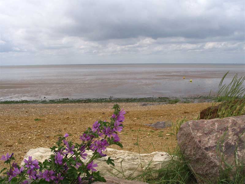


Geography and physical features
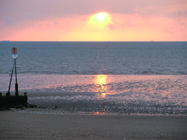
The Wash forms a roughly square inlet with a wide mouth and a system of channels, sandbanks and mudflats shaped by strong tides and shifting sediments. The flat profile of the surrounding coastline and shallow offshore gradient produce substantial tidal flows that create large areas of exposed mud and sand at low water. These sediments are important for nutrient cycling and form the foundation of the local ecosystem.
Habitats and wildlife
The Wash contains a mosaic of habitats: extensive intertidal flats, salt marshes, creeks and saline lagoons. These support a rich assemblage of benthic invertebrates and vegetation, which in turn feed migratory and resident birds. Waders, gulls and wildfowl concentrate on the mudflats to feed and rest during migration and winter months. Because of its importance for waterfowl and coastal biodiversity it is recognised internationally as a Ramsar wetland site.
- Key habitats: mudflats, salt marsh, creeks, channels
- Ecological role: feeding grounds for waders and wildfowl
- Physical features: wide mouth, tidal channels, shifting sandbanks
Human use, history and management
People have long used the Wash and its foreshore for fishing, shellfisheries and navigation. Much of the adjacent land has been reclaimed and drained for agriculture, and towns and ports around the inlet have developed alongside its channels. The combination of productive coastal waters and challenging navigation—due to moving shoals and strong tides—has shaped local maritime activity for centuries.
Conservation and management are significant because of the Wash's ecological value and vulnerability to erosion, sea‑level change and human disturbance. Its international designation helps coordinate efforts to protect bird populations, important habitats and the natural processes that sustain them while balancing the needs of local communities and industry.
Notable aspects of the Wash include its role as an internationally important coastal wetland, the large areas of exposed tidal flats that appear at low tide, and the continual reshaping of its channels and sandbanks. These characteristics make it a focal point for coastal ecology, conservation and studies of estuarine dynamics in the British Isles.
Further reading and resources: estuary systems, East Anglia geography, England coastal regions, Norfolk coast, Lincolnshire coast, UK estuaries, Ramsar sites, wetland conservation.
Questions and answers
Q: Where is The Wash located?
A: The Wash is located on the northwest margin of East Anglia on the east coast of England.
Q: What kind of estuary is The Wash?
A: The Wash is a square-mouthed estuary.
Q: What is the Ramsar site?
A: The Ramsar site is a designation for areas that are recognized as being important wetland areas.
Q: Is The Wash one of the largest estuaries in the United Kingdom?
A: Yes, The Wash is among the largest estuaries in the United Kingdom.
Q: Is The Wash a natural or artificial area?
A: The Wash is a natural area.
Q: What is the significance of The Wash as a wetland area?
A: The Wash is significant as a wetland area because it provides an important habitat for many species of wildlife.
Q: What two counties does The Wash border?
A: The Wash borders Norfolk and Lincolnshire.
Related articles
Author
AlegsaOnline.com The Wash — large estuary on England's east coast Leandro Alegsa
URL: https://en.alegsaonline.com/art/99079