
Beaufort Sea
The Beaufort Sea is a marginal sea of the Arctic Ocean north of Alaska and northwestern Canada, notable for its seasonal ice cover, wildlife (including beluga whales), river inflow, and hydrocarbon resources.
Overview
The Beaufort Sea is a shallow marginal sea of the Arctic Ocean located north of the Canadian Northwest and Yukon territories and the U.S. state of Alaska. It lies west of the Canadian Arctic islands and north of mainland Canada. The water body takes its name from the British hydrographer Sir Francis Beaufort. The sea receives large freshwater input from the Mackenzie River, which affects its circulation, sediment distribution and ecology.
Image gallery
10 Images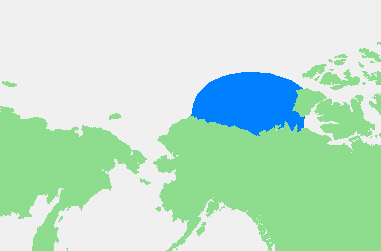




Geography and sea ice
As a polar shelf sea, the Beaufort is generally shallow and remains ice-covered for much of the year. Only a narrow zone of open water commonly develops along parts of the coast during late summer: in many years a nearshore lead or polynya several dozen up to about 100 km wide appears in August–September. Seasonal and interannual variability of ice cover has been increasing as the Arctic warms, with implications for navigation, coastal erosion and ecosystems.
Ecology and marine life
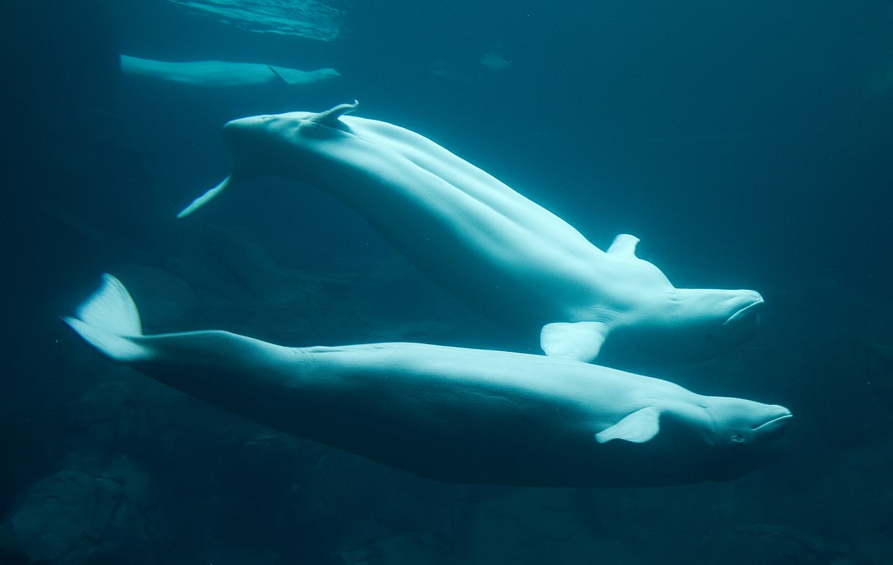
The Beaufort Sea supports Arctic marine species adapted to cold, ice-influenced waters. Notable animals include seals, polar bears, and communities of fish and benthic organisms. Large seasonal and resident populations of beluga whales use the sea and its estuaries. The productive nearshore areas that receive river outflow are important feeding and nursery grounds for many species and for Indigenous peoples who have hunted and fished along these coasts for millennia.
Human presence and history
Coastal occupation in the Beaufort region dates back thousands of years, with Indigenous groups such as Inuvialuit and other Inuit communities maintaining subsistence lifestyles tied to sea and land resources. Permanent settlements are sparse; one example on the Canadian side is Tuktoyaktuk, a community that has long served as a coastal hub. European and North American exploration intensified in the 19th and 20th centuries, and hydrographic mapping and naming occurred during those periods.
Resources, development and disputes
Hydrocarbon deposits in the Beaufort shelf were identified in the mid-20th century and exploration increased from the 1950s through the 1980s and beyond. The region contains prospects for petroleum and natural gas, which has prompted periodic industry activity, regulatory debates and environmental concerns about spills, ice conditions and impacts on wildlife. There is also an ongoing maritime boundary disagreement between the United States and Canada over some offshore zones, complicating management and development plans.
Importance and contemporary issues
The Beaufort Sea has significance for climate research, Indigenous cultures, biodiversity and potential economic development. Key contemporary issues include the effects of Arctic warming on sea ice and permafrost, pressures from possible offshore drilling, and the balance between local subsistence use and commercial activities. Sustainable management requires coordination among northern communities, national governments and scientific organizations working to reconcile ecological protection with social and economic needs.
- Location: north of Northwest Territories and Yukon, adjacent to Alaska
- Major river: Mackenzie River
- Wildlife: including beluga whales and other Arctic species
- Human issues: resource development, indigenous communities, international boundary questions
For further reading on the region's oceanography, wildlife and policy issues consult regional overviews and scientific assessments maintained by northern research programs and government agencies. Additional resources and maps are available through national archives and marine institutes that study polar environments (marginal sea context summaries and broader Arctic Ocean references).
Questions and answers
Q: What is the Beaufort Sea?
A: The Beaufort Sea is a marginal sea of the Arctic Ocean, located north of the Northwest Territories, the Yukon, and Alaska, and west of Canada's Arctic islands.
Q: Who is the sea named after?
A: The sea is named after hydrographer Sir Francis Beaufort.
Q: What river empties into the Canadian part of the sea?
A: The Mackenzie River empties into the Canadian part of the sea.
Q: Are there any permanent settlements on the shores of the Beaufort Sea?
A: Yes, Tuktoyaktuk is one of the few permanent settlements on the shores of the sea.
Q: When is the sea unfrozen?
A: Only a narrow pass up to 100 km (62 mi) opens in August-September near the shores of the sea.
Q: When were the resources of petroleum and natural gas discovered in the Beaufort Sea?
A: The resources of petroleum and natural gas in the Beaufort Sea were discovered between the 1950s and 1980s.
Q: Is there any disagreement between the United States and Canada regarding the sea border?
A: Yes, there is a disagreement between the United States and Canada regarding the sea border.
Related articles
Author
AlegsaOnline.com Beaufort Sea Leandro Alegsa
URL: https://en.alegsaonline.com/art/9878
Sources
- books.google.com : The New York Times Almanac 2002
- britannica.com : Beaufort Sea
- britannica.com : Mackenzie River
- globaltwitcher.auderis.se : Polar Bear: Ursus maritimus, Globaltwitcher.com, ed. N. Stromberg