Bearing (navigation): definitions, types, methods, and common uses
Angle measurement from a reference direction to an object used in marine, aviation, and land navigation; covers types (true, magnetic, relative), methods, instruments, history and common errors.
Overview
In navigation, a bearing is the direction to an object measured as an angle from a chosen reference direction. Bearings are fundamental for determining position, steering a course, or avoiding hazards. The same word can describe several related concepts depending on the reference used: true (geographic) north, magnetic north, or the craft's heading. For a general introduction to the concept see bearing (navigation), and for the geometric idea of angle see angle.
Image gallery
7 Images


Common references and notation
Bearing measurements are normally expressed in degrees, typically measured clockwise from a reference. The most common references are Cardinal directions as found with a cardinal system and a compass. When celestial objects are used as references, stars and the sun are typical choices: observers take bearings of bright stars or the sun to establish position. On land, fixed features such as mountains or man-made beacons provide reliable references; at sea, lighthouses and buoys serve the same role.
Types of bearings
- True bearing: angle measured from geographic (true) north.
- Magnetic bearing: angle measured from magnetic north as indicated by a magnetic compass.
- Compass bearing: the bearing read directly from a magnetic compass, which may include compass errors.
- Relative bearing: angle measured clockwise from the vessel's or aircraft's heading to a target.
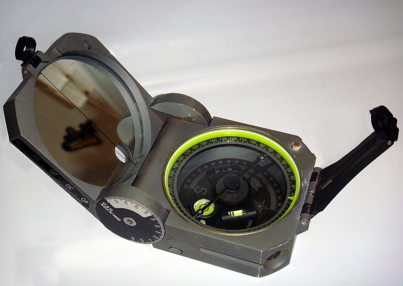
Methods and instruments
Bearings can be obtained optically, electronically, or by radio. Optical methods use sights, binoculars with reticles, or a sextant to take an angle to a visible object. Radar provides electronic bearings to reflected targets and is widely used at sea and in poor visibility; a basic radar example is discussed at radar. Radio direction-finding systems (ADF) and modern GNSS-derived azimuths also supply bearing information. Common instruments include the magnetic compass, pelorus (a bearing indicator), gyrocompass, and radar or radio receivers.
History and development
The practice of taking bearings dates back to ancient navigation when sailors used the sun and stars for direction. The magnetic compass, introduced to widespread maritime use centuries ago, allowed bearings relative to magnetic north. Over time mechanical and electronic devices improved accuracy: gyrocompasses reduced magnetic error, radar and radio bearings enabled night and low-visibility navigation, and satellite systems now supply precise positions and courses.
Uses, examples, and important distinctions
Bearing information is applied to plot lines of position, fix a vessel's or vehicle's location, steer a course, and avoid collisions. For example, taking bearings to two known landmarks gives a position fix at their intersection. It is important to distinguish bearing from related terms: bearing is a direction to an object, while heading is the direction the craft points, and course is the intended path over the ground. Bearings must be corrected for magnetic variation and compass deviation when converting between true and magnetic frames; simple rules of thumb and published variation charts are used for those conversions.
Limitations and errors
Sources of error include instrument inaccuracies, human reading mistakes, magnetic interference, and environmental effects such as refraction. Radar bearings are affected by antenna alignment and target characteristics, and radio bearings depend on signal propagation. Good practice involves taking multiple bearings, using different references, and applying known corrections to reduce uncertainty.
Further reading and resources: general discussions of bearings and related navigation topics can be found via introductory pages on navigation fundamentals and specific instrument guides available from navigation authorities and manuals (compass guides, radar manuals, and maritime mark catalogues such as lists of lighthouses and buoys). Practical shore and celestial methods trace back to traditional use of stars and the sun, while modern electronic systems complement optical bearings and fixed-land references like mountains and beacons.
For concise definitions and examples of common bearing problems and solutions, introductory navigation textbooks and pilotage handbooks remain useful starting points; specialized procedures for aircraft, marine, and land navigation detail equipment-specific techniques and error corrections, and radio/ radar procedures are set out in operational guides and standards (overview, angles and geometry).
Questions and answers
Q: What is the meaning of the word bearing in navigation?
A: Bearing in navigation refers to methods used to find the angle between an object used for this purpose and a reference direction.
Q: What are some reference systems used in navigation?
A: Cardinal directions, the direction a ship is pointed, and points that can easily be determined, such as stars, mountains, the sun, and beacons, are some reference systems used in navigation.
Q: What is the most commonly used reference system in navigation?
A: The most commonly used reference system in navigation is the system of Cardinal directions, as they can be found with a compass.
Q: What are beacons in navigation?
A: Beacons in navigation are points that can easily be determined, and that move very little. They include stars, mountains, the sun, and beacons in the form of lighthouses on the coast, but also as electric beacons or other sea marks on the open sea.
Q: What are some ways bearings can be measured?
A: Bearings can be measured using optical bearings that rely on visual information, or radar for tools.
Q: What is the purpose of bearings in navigation?
A: The purpose of bearings in navigation is to find the angle between an object used for this purpose and a reference direction, in order to determine the direction in which a ship or other object is traveling.
Q: What is a compass used for in navigation?
A: A compass is used to determine cardinal directions, which is one of the reference systems commonly used in navigation.
Related articles
Author
AlegsaOnline.com Bearing (navigation): definitions, types, methods, and common uses Leandro Alegsa
URL: https://en.alegsaonline.com/art/9835