
Suphan Buri Province, Thailand
Suphan Buri is a central Thai province with an archaeological record over 2,500 years old, long ties to the Ayutthaya polity, an agricultural economy, and notable temples, monuments and museums.
Suphan Buri (Thai: จังหวัดสุพรรณบุรี) is a province in central Thailand known for a long record of human occupation, fertile river plains and a continuing role as an agricultural and cultural region. Situated to the west of Bangkok in the Tha Chin (Ta Chin) river basin, the province combines ancient archaeological remains and historic monuments with contemporary farming communities and regional towns. The provincial capital is the town of Suphan Buri, which functions as the administrative and commercial centre.
Image gallery
10 Images





Geography and environment
Suphan Buri occupies lowland plains dominated by rivers, irrigation canals and seasonal wetlands. The Tha Chin River and its tributaries shape soils that have long supported wet‑rice cultivation and other crops. The climate is tropical with a marked rainy season and a drier season when farmers prepare fields and harvest. Proximity to the Bangkok metropolitan area has encouraged road connections and economic links, while water management, flood control and irrigation remain important local concerns for agriculture and settlement.
Archaeology and early history
Archaeological investigations in Suphan Buri have produced finds indicating continuous human presence for more than 2,500 years. Material recovered includes Stone Age and Iron Age artifacts as well as ceramics and burial remains associated with later regional cultures. Scholars have identified links in material culture with early states and cultural spheres in central and southern mainland Southeast Asia, reflecting long-term settlement, trade and cultural exchange.
Medieval and Ayutthaya-period role
In historical sources the settlement appears under older names such as Tarawadeesrisuphannapoom and Phan Tumaburi, located on the bank of the Tha Chin River. During the Ayutthaya period the town served as a fortified outpost and an important granary for the kingdom. Its strategic location on inland waterways and productive hinterland made Suphan Buri a point of military and commercial significance for successive Thai polities.
Economy and society
The provincial economy remains largely agricultural. Rice cultivation is dominant, supported by sugarcane, orchards and livestock farming, with associated processing and small-scale agro-industries. Local markets, agricultural cooperatives and regional trade link producers to urban centres. In recent decades, transport improvements and industrial estates in the wider region have diversified employment opportunities, yet many communities continue to depend on traditional farming and seasonal labour patterns.
Culture, religion and festivals
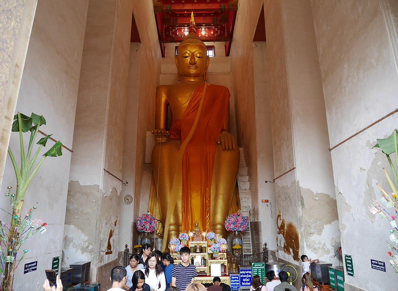
Buddhist temples are central to community life and local identity. Wat Pa Lelai Worawihan and other temples act as religious, social and ceremonial hubs. Annual festivals follow the Buddhist and agricultural calendars; national observances such as Songkran and Loy Krathong are celebrated alongside local fairs and temple events. Craft traditions, foodways and rural customs remain visible in everyday life.
Notable sites and tourism
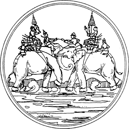
Visitors encounter monuments and museums that interpret the province's layered past. The Don Chedi Monument commemorates historic events associated with the Ayutthaya era and is an important landmark. Local archaeological sites and municipal museums display finds from prehistoric to medieval times. Riverside markets, community temples and small museums add cultural interest for visitors exploring the provincial landscape.
Administration, transport and challenges
Suphan Buri is administered through a provincial structure with the capital district at its core. Road connections provide access to Bangkok and neighbouring provinces; regional bus services and local roads serve towns and agricultural villages. Contemporary challenges include sustainable water management, seasonal flooding, balancing agricultural modernization with heritage conservation, and maintaining livelihoods in rural communities as economic change continues.
Overall, Suphan Buri illustrates the continuity between its archaeological record, historical role as a food-producing region and its present-day identity as a province where traditional agriculture, religious life and historic sites remain important within a rapidly changing regional economy.
Questions and answers
Q: How old is the evidence found in Suphan Buri province?
A: The evidence found in Suphan Buri province is over 2500 years old.
Q: What are the different cultures represented by the artifacts found in Suphan Buri province?
A: The artifacts found in Suphan Buri province represent the Stone Age, Iron Age, and successive cultures including the Suwannapoom period, Funan, Aummarawadee, and Sriwichai.
Q: What was the old name of Suphan Buri province?
A: The old name of Suphan Buri province was Tarawadeesrisuphannapoom or Phan tumaburi.
Q: Where is Suphan Buri province located?
A: Suphan Buri province is located on a bank of Ta Jeen River.
Q: Was Suphan Buri province a capital city during the Ayuttaya period?
A: Yes, Suphan Buri province was a capital city during the Ayuttaya period.
Q: What was the role of Suphan Buri province during ancient times?
A: Suphan Buri province was an outpost city and an important granary during ancient times.
Q: What river is located near Suphan Buri province?
A: Ta Jeen River is located near Suphan Buri province.
Related articles
Author
AlegsaOnline.com Suphan Buri Province, Thailand Leandro Alegsa
URL: https://en.alegsaonline.com/art/95098
Sources
- tourthai.com : tourthai.com