
Battambang Province (Cambodia)
Battambang is a northwestern Cambodian province known for rice production, French colonial heritage, hilltop temples and the Tonlé Sap biosphere. The capital and largest city is Battambang.
Overview
Battambang is a province (khaet) in northwestern Cambodia. Its capital and largest urban center is the city of Battambang. The province occupies a largely rural area that combines lowland agricultural plains with forested highlands. Its approximate geographic location is given at 13°1′43″N 102°59′22″E. Battambang is often highlighted for its agricultural output and for a landscape that supports rice cultivation, freshwater fisheries and seasonal wetlands.
Image gallery
8 Images


Geography and climate
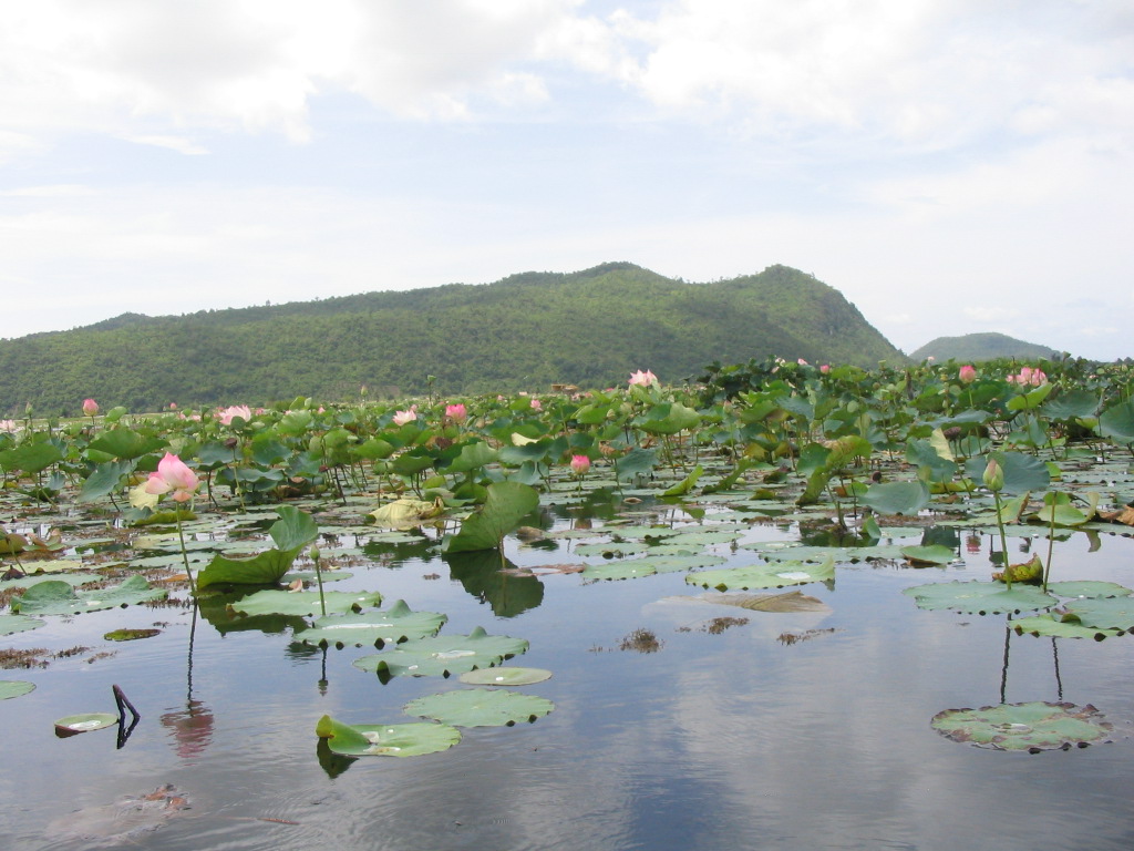
Battambang includes parts of the Tonlé Sap floodplain and is home to areas that form the Tonlé Sap Biosphere Reserve, which supports significant seasonal changes in water levels and biodiversity. Much of the province consists of hills and forested country; a large share of its territory is covered by mountains and jungle. The climate is tropical monsoon, with a distinct rainy season and a drier season that shape planting and harvesting cycles.
History and culture
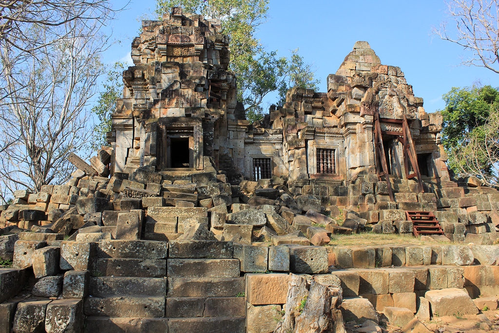
The province has a long human presence and contains examples of Khmer temple architecture such as Wat Ek Phnom and the hilltop temple Wat Banan, both of which attract visitors and illustrate premodern religious traditions. Battambang city retains examples of French colonial-era buildings and urban patterns from the period of the French protectorate. Historically the region experienced periods of shifting influence across the border with Siam (now Thailand) before becoming fully integrated into the modern Cambodian state.
Economy and landmarks
Agriculture is the dominant economic activity, with rice at the center of production and inland fisheries playing a supporting role. Local markets, river transport and seasonal flooding influence local trade and livelihoods. Tourist attractions include the temple sites mentioned above, the protected wetlands of the Tonlé Sap Biosphere Reserve, and characteristic local features of rural transport and craft traditions. The provincial capital functions as the principal service and commercial hub.
Administration and districts
Battambang is organized into 13 districts and one municipality. The following administrative units are commonly listed:
- Aek Phnum
- Banan
- Battambang Municipality
- Bavel
- Kamrieng
- Koas Krala
- Moung Ruessei
- Phnum Proek
- Rotanak Mondol
- Rukhak Kiri
- Samlout
- Sampov Loun
- Sangkae
- Thma Koul
Notable facts and further reading
The province plays a notable role in Cambodia's food production and contains important natural and cultural heritage sites. For administrative and statistical details one may consult provincial profiles or national sources; an introductory reference to the province appears under the designation Battambang (khaet). The combination of wetlands, temples and rural landscapes makes the province significant for both conservation and cultural tourism.
Questions and answers
Q: What is Battambang?
A: Battambang is a province in Cambodia.
Q: Where is the capital city of Battambang province?
A: The capital city of Battambang province is also called Battambang.
Q: What is in the Tonlé Sap Biosphere Reserve?
A: The Tonlé Sap Biosphere Reserve is located in Battambang province.
Q: What are some temples in Battambang province?
A: Some temples in Battambang province are Wat Ek Phnom and Wat Banan.
Q: What percentage of Battambang province is made up of jungles and mountains?
A: Seventy-five percent of Battambang province is made up of jungles and mountains.
Q: How is the climate in Battambang province?
A: The area has a tropical climate.
Q: How many districts and one municipality is Battambang province divided into?
A: Battambang province is divided into 13 districts and one municipality.
Tags
Related articles
Author
AlegsaOnline.com Battambang Province (Cambodia) Leandro Alegsa
URL: https://en.alegsaonline.com/art/9399