Stevens County, Washington: geography, history and communities
Stevens County is a largely rural county in northeastern Washington on the Canada–US border. County seat Colville. Overview of geography, history, communities, economy, recreation and transportation.
Overview
Stevens County lies in the northeastern corner of Washington state and shares an international boundary with Canada. The county seat and largest service center is linked below: Colville. The county is predominantly rural, composed of forested mountains, river valleys and agricultural land. At the 2010 census the population was recorded as 43,531; more recent estimates show modest change driven by resource industries and recreation-oriented growth.
Image gallery
2 Images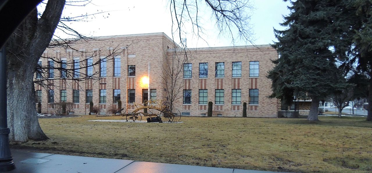

Geography and environment
Topography ranges from lower river valleys up to forested highlands. Major waterways and reservoirs provide fisheries and irrigation while large tracts of publicly managed forests support timber, wildlife habitat and outdoor recreation. Climate varies with elevation: winters bring snow and cold in the high country; summers are generally warm and drier in lower areas. Natural resources and scenic landscapes shape land use and local culture.
History
Stevens County was organized during the 19th century as settlement expanded into eastern Washington. Early economic activity included mining, timber extraction and agriculture, which influenced the founding and growth of towns. Historical sites, museums and preserved structures document indigenous presence, frontier settlement and the development of extractive industries that defined the region for generations.
Communities and economy
The county seat functions as a center for government, health care and commerce; see the county administrative page: county seat information. Other incorporated towns and many smaller unincorporated communities serve local ranching, farming and forested-rural populations. The economy mixes timber and forest products, agriculture, small manufacturing, public services and an expanding outdoor recreation sector.
- Colville (city details)
- Chewelah
- Kettle Falls
- Numerous small towns and rural settlements
Recreation and public lands
Public lands, trails, rivers and lakes support fishing, boating, hunting, hiking and winter sports. Scenic drives and wildlife viewing draw visitors regionally. Reservoirs and state recreation areas provide facilities for camping and day use, contributing to tourism and local quality of life.
Transportation, government and cross‑border relations
Road networks link communities to regional markets and to border crossings that support trade and travel with the neighboring country. County government administers local services, land use planning and cooperation with state and federal agencies on resource management, transportation and emergency response.
Further information
For official statistics, maps and services consult county and state sources and regional planning organizations. General country context is available from broader national publications and demographic resources on the United States and regional portals. Local visitor bureaus and historical societies publish guides to points of interest and events.
Questions and answers
Q: Where is Stevens County located?
A: Stevens County is located in the state of Washington in the United States.
Q: What is the population of Stevens County according to the 2010 census?
A: The population of Stevens County according to the 2010 census is 43,531 people.
Q: Which city is the county seat of Stevens County?
A: The city of Colville is the county seat of Stevens County.
Q: Does Stevens County share a border with Canada?
A: Yes, Stevens County shares a border with Canada.
Q: What is the significance of Stevens County being along the Canada-US border?
A: Being along the Canada-US border, Stevens County is strategically located for trade and commerce activities between the two countries.
Q: What is the geographic size of Stevens County?
A: The geographic size of Stevens County is not specified in the given text.
Q: What are some of the notable attractions or landmarks in Stevens County?
A: The given text does not provide any information regarding notable attractions or landmarks in Stevens County.
Related articles
Author
AlegsaOnline.com Stevens County, Washington: geography, history and communities Leandro Alegsa
URL: https://en.alegsaonline.com/art/93882
Sources
- naco.org : "Find a County" · web.archive.org
- historylink.org : "Milestones for Washington State History — Part 2: 1851 to 1900"
- www2.census.gov : "2010 Census Gazetteer Files"
- commons.wikimedia.org : Stevens County, Washington