Basin and Range Province
A broad physiographic region of western North America marked by alternating narrow mountain ranges and flat basins; formed by crustal extension since the Miocene and hosting diverse desert ecosystems.
Overview
The Basin and Range Province is an extensive physiographic region that spans much of the western United States and extends into northwest Mexico. It is characterized by a repeating pattern of narrow, fault-bounded mountain ranges separated by broad, generally flat basins. The province covers a large area of interior western North America and is commonly shown on maps of the United States portion and the adjoining northwest Mexico extent. Its dramatic relief and abrupt changes in elevation give the landscape a distinctive, linear appearance.
Image gallery
5 Images


Landscape and defining characteristics
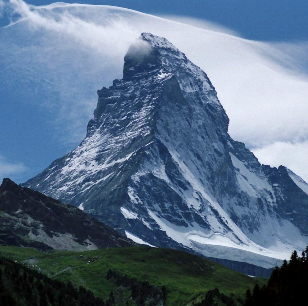
The surface of the Basin and Range displays alternating highs and lows: steep-sided ranges emerging from flat valley floors. This pattern is the result of numerous normal faults that have tilted blocks of crust, producing horsts (uplifted blocks) and grabens (down-dropped basins). The visual effect of many parallel ranges led Clarence Dutton to compare them to an "army of caterpillars crawling northward," a phrase still used to evoke the region's repetitive ridgelines. Significant landmarks include high summits such as White Mountain Peak and extreme low points like Badwater Basin in Death Valley. The arrangement of ranges within the United States is often called the Great Basin Ranges, though the term "Great Basin" properly denotes the internally drained watershed to the north.
Geology and origin
The distinctive topography of the Basin and Range has its origin in extension and thinning of the continental lithosphere — the outer shell made up of crust and the upper mantle. Geologists attribute the province's block-faulted structure to large-scale stretching of the crust that began in the early Miocene, roughly 17 million years ago, although details of the driving forces remain an active area of research. Studies of the region's topography, fault patterns and subsurface structure emphasize the role of normal faulting and fault-bounded tilting; researchers examine the faulted nature of ranges and the accumulation of sediment in basins to reconstruct uplift and subsidence histories.
Climate, ecosystems and resources
Climate across the province ranges from semi-arid to hyper-arid. Much of the lower elevations are dominated by desert vegetation and associated ecoregions, while higher ranges support woodlands and alpine communities. The distribution of plants and animals follows the pattern of elevation and isolated ranges, creating a mosaic of habitats and often high local endemism. The Basin and Range also contains mineral resources, aquifers in valley fills, and areas suitable for grazing and recreation; understanding its physiography is important for water management and land use planning.
Research, boundaries and terminology
Geoscientists use a combination of structural mapping, geochronology and geophysical surveys to study the province. The term "Basin and Range" is used at different scales: some definitions emphasize the broad extensional province, while others focus on the distinctive small-scale block faulting. The geological framework involves the lithosphere, including processes in the crust and upper mantle. Timing and mechanisms are constrained by Miocene volcanic and extensional records (see Miocene studies), and ongoing studies refine how extension propagated across the region.
Notable facts and distinctions
- The province includes both very high peaks and deeper-than-sea-level basins such as Badwater Basin, highlighting its extreme elevation contrasts.
- While popularly associated with the Great Basin region, the Basin and Range extends beyond the hydrologic bounds of the Great Basin proper.
- Classic field descriptions and cultural impressions (for example by Death Valley observers and early geologists) helped popularize images like Dutton's caterpillar metaphor; modern research continues to refine the causes and timing described in early summaries.
The Basin and Range Province remains a central area for studies of continental extension, landscape evolution and desert ecology. Readers seeking maps, detailed geological surveys or conservation guidance may consult regional datasets and literature via institutional resources and national geological agencies (see introductory map and data portals such as regional map and research collections at geologic databases).
Questions and answers
Q: What is the Basin and Range Province?
A: The Basin and Range Province is a vast geographic region in the west United States and northwest Mexico. It has narrow faulted mountain chains, flat arid valleys or basins, and many ecoregions.
Q: What caused the physical geography of the province?
A: The physical geography (physiography) of the province was caused by extension and thinning of the lithosphere, which is composed of crust and upper mantle. What caused this thinning is still being investigated.
Q: When did this thinning begin?
A: The thinning began around 17 million years ago (mya) in early Miocene time.
Q: What are some notable points within the Basin and Range Province?
A: The highest point fully within the Province is White Mountain Peak in California, while the lowest point is Badwater Basin in Death Valley. Other high points are at the boundary of the Basin and Range province.
Q: How does Clarence Dutton describe this region?
A: Clarence Dutton compared the many narrow mountain ranges of the Basin and Range to an "army of caterpillars crawling northward".
Q: Is there a difference between Great Basin Ranges and greater Basin & Range region?
A: Yes, Great Basin Ranges are only part of greater basin & range region; they are defined by their watershed (internal drainage).
Related articles
Author
AlegsaOnline.com Basin and Range Province Leandro Alegsa
URL: https://en.alegsaonline.com/art/9253
Sources
- bulletin.geoscienceworld.org : "Tertiary igneous chronology of the Great Basin of Western United States–-implications for tectonic models"
- ui.adsabs.harvard.edu : 1971GSAB...82.3497M
- doi.org : 10.1130/0016-7606(1971)82[3497:ticotg]2.0.co;2
- washington.edu : "Northwest origins, an introduction to the geologic history of Washington State, Catherine L. Townsend and John T. Figge"
- oregongeology.com : "Oregon: a geologic history"
- geology.isu.edu : "Digital geology of Idaho, Laura DeGrey and Paul Link"