
Severnaya Zemlya: Russian Arctic archipelago
Severnaya Zemlya is a remote Russian archipelago in the high Arctic, separating the Kara and Laptev Seas. It was the last sizeable land group to be discovered and is used for polar research and sea-ice monitoring.
Severnaya Zemlya is a remote group of islands in the high Arctic Ocean. Located off the northern coast of Siberia, the archipelago forms part of Russia's Arctic territory and lies where the Arctic Ocean meets the Siberian continental margin. It is often described as an Arctic shingle of islands and ice domes rather than a single island mass; for an overview see archipelago.
Image gallery
10 Images


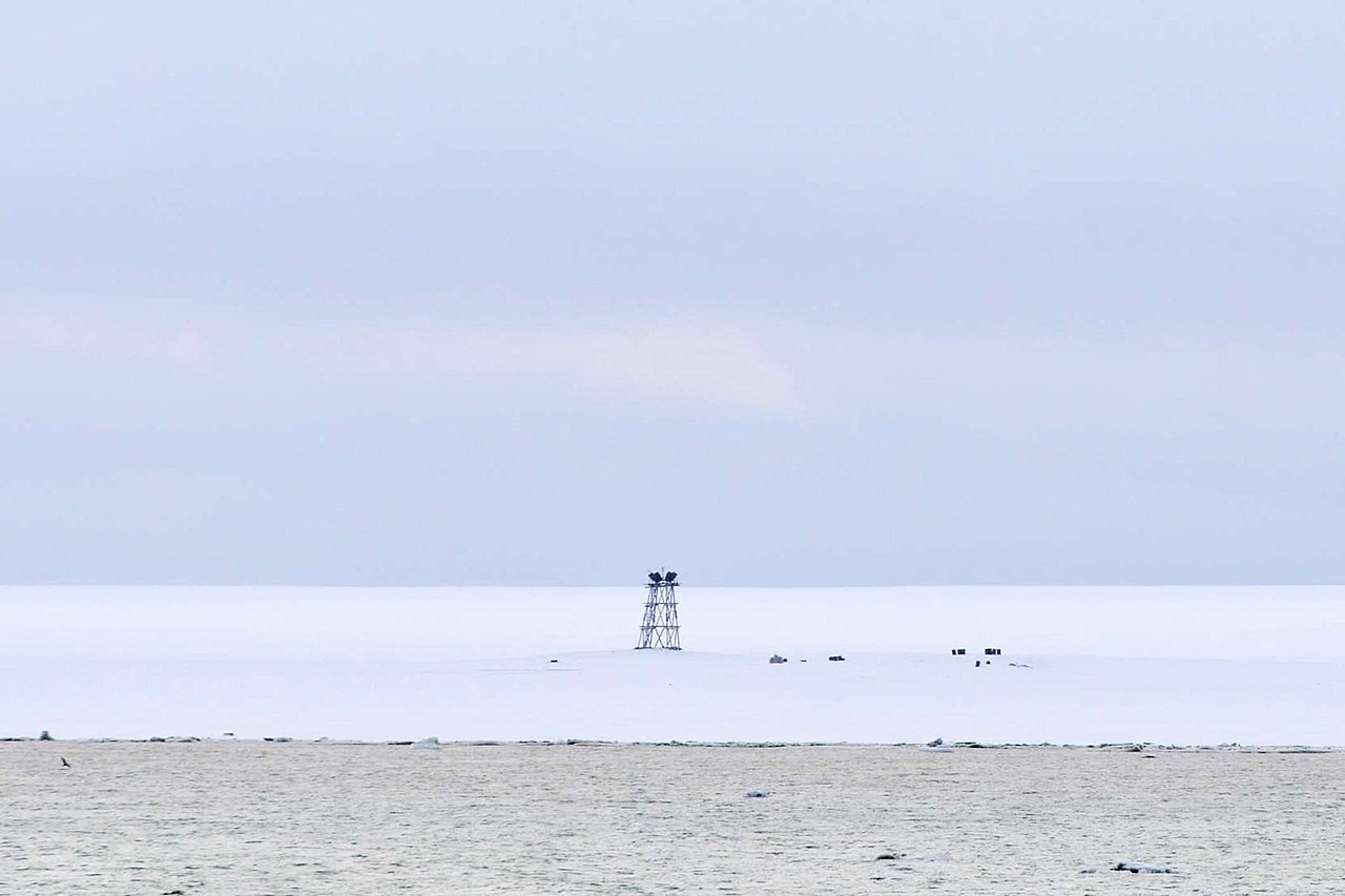


Geography and physical character
The group comprises roughly thirty individual islands and numerous smaller islets and channels; sources vary, but the common description is about 30 islands. The whole area sits in the central Arctic and is bounded by the Arctic Ocean. Large parts of the islands are covered by ice caps and valley glaciers, and the coastline is cut by fjords and bays. The archipelago sits between two marginal seas, separating the western waters from the east: the islands divide the Laptev Sea to the east and the Kara Sea to the west.
Discovery and mapping
Severnaya Zemlya has a distinctive place in exploration history. It was first reported in the early twentieth century and later re-surveyed and mapped in detail during Soviet Arctic expeditions. Because its islands were not visited and charted until the 1910s–1930s, the archipelago is often called the last substantial group of islands on Earth to be discovered and mapped; historical accounts note it as the last group of islands discovered. Initially the land was given a name reflecting the pre-revolutionary Russian monarchy, and the name was later changed under Soviet administration.
Jurisdiction, human presence and science
Administratively the islands are part of Russia and are governed within the northern territory of Krasnoyarsk Krai in the Russian Federation (Russia). There are no permanent civilian settlements; human presence is limited to seasonal research and weather stations. A small meteorological and logistics facility is maintained to support scientific work and navigation monitoring—often referred to in general as a meteorological outpost—and scientists and technicians (scientists) rotate through for months at a time to carry out observations.
Role in navigation and climate observation
Severnaya Zemlya occupies a strategic position along the Northern Sea Route (also known historically as the Northeast Passage). Its location affects sea-ice distribution and navigation between the Atlantic and Pacific oceans. For much of the twentieth century the waters around the islands were blocked by persistent pack ice, but changes in summer sea-ice extent have periodically opened passages north of the archipelago. The region is therefore closely watched as an indicator of broader Arctic climate change and sea-ice decline affecting Eurasia and global systems.
Notable points
- Historically one of the last significant land groups discovered and systematically charted (discovery history).
- Composed of about thirty islands and many smaller features (island count).
- Located in the Arctic Ocean and forming a maritime divide between the Laptev Sea and the Kara Sea.
- Part of Russia and administered within Krasnoyarsk Krai, with limited seasonal stations such as a meteorological facility supporting rotating teams of scientists.
- The islands illustrate changes in Arctic sea ice and have been observed in the context of summertime openings in routes north of Eurasia.
Questions and answers
Q: What is Severnaya Zemlya?
A: Severnaya Zemlya is a group of islands consisting of around 30 islands in the Arctic Ocean.
Q: When was Severnaya Zemlya first discovered?
A: Severnaya Zemlya was first noted in 1913 and first charted in 1930-32, making it the last group of islands on Earth to be discovered.
Q: What is the political status of Severnaya Zemlya?
A: The islands are part of Russia's Krasnoyarsk Krai region, but are uninhabited by humans except for an Arctic base.
Q: Is there any scientific research being conducted on the islands of Severnaya Zemlya?
A: Yes, there is a meteorological station on Golomjanny island, and scientists live there for some months of the year.
Q: How does Severnaya Zemlya affect the Arctic sea?
A: Severnaya Zemlya splits the Arctic sea into a western part called Laptev Sea and an eastern part called Kara Sea.
Q: What is the significance of the ice on Severnaya Zemlya?
A: In the 20th century, the islands were always covered by ice even as the ice melted in summer, and blocked what is called the Northeast Passage. If it were ice-free the Northeast passage would permit navigation from the Atlantic to the Pacific Ocean easily.
Q: Has there been any change in the ice on Severnaya Zemlya?
A: By the late summer of 2012, the permanent ice had reached a record low extent, and open water appeared to the north of the archipelago, suggesting the occurrence of the Arctic sea ice decline phenomenon.
Related articles
Author
AlegsaOnline.com Severnaya Zemlya: Russian Arctic archipelago Leandro Alegsa
URL: https://en.alegsaonline.com/art/89228
Sources
- doi.org : 10.2307/1796946
- nasa.gov : nasa.gov