Seoul Metropolitan Subway
Comprehensive overview of the Seoul Metropolitan Subway: system layout, history, operations, ticketing, services, and notable features for residents and visitors.
The Seoul Metropolitan Subway is a large urban and suburban rail network serving Seoul and adjacent cities. It combines rapid transit lines that run beneath and across the city with commuter rail lines that extend into surrounding provinces. The network is one of the busiest and most extensively connected in the world, designed to move large numbers of passengers efficiently across a dense metropolitan area while linking to regional rail and airport services.
Image gallery
10 Images


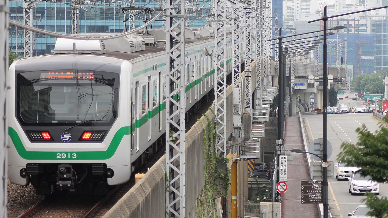


System layout and lines
The network includes both numbered metro lines and separately branded regional or specialty lines. Numbered lines (for example, Line 1 through Line 9) form the core urban grid and are color-coded on maps and station signs. Additional lines carry names instead of numbers and provide longer-distance commuter or airport connections. Typical named lines include the Gyeongui, Bundang, Shinbundang, AREX (airport express), Jungang, Gyeongchun, Suin, various Incheon and other local lines, and certain light rail or automated services.
- Core metro lines: frequent service within Seoul, dense station spacing and integrated transfers.
- Commuter/regional lines: longer distances, fewer stops within the city, and through-service with national rail where scheduled.
- Airport and express services: dedicated links to international airports and some limited-stop express trains.
History and development
The subway began in the 1970s as Seoul expanded rapidly and needed mass transit to relieve surface congestion. Initial segments opened to serve central corridors, and subsequent decades saw both infill metro lines and the extension of suburban commuter rails into the capital area. Investment in the system has emphasized capacity growth, network connectivity, and passenger amenities. Over time, multiple operators and agencies have coordinated to present a largely integrated fare and transfer system.
Stations, ticketing and passenger services
Stations are equipped with multilingual signage, barrier-controlled fare gates, and a variety of passenger facilities. A reloadable contactless card system (examples include T-money and other compatible cards) and modern mobile/NFC payment options make boarding fast and convenient. Many stations offer large information kiosks, digital displays and maps, escalators and elevators for accessibility, and safety features such as platform screen doors on busy platforms. Real-time arrival information, route maps and tourist guidance are commonly available.
Operations, ridership and importance
The subway is operated by several public and private entities that coordinate schedules, fares and transfers to provide seamless trips. High frequencies during peak hours and extensive transfer points make the system the backbone of daily commuting. It serves not only workers and students but also tourists, shoppers and airport travelers. Integration with buses, regional rail and bicycle facilities helps provide a comprehensive urban mobility network that reduces road congestion and supports economic activity across the metropolitan area.
Notable features and distinctions
Among the system's distinguishing traits are clear, color-coded wayfinding, art and cultural displays in many stations, and a history of continuous expansion to respond to population shifts. The coexistence of metro-style rapid transit and longer-distance commuter lines within one integrated network is a notable operational feature. For visitors, the combination of frequent service, English-language information and contactless fare methods makes the system relatively easy to use compared with many large metropolitan rail networks.
For further, detailed route diagrams, timetables and station amenities consult official transit sources or local transit guides. Practical tips include checking service patterns for lines with both local and express trains, allowing extra time for transfers at major hubs, and using reloadable fare cards for the most convenient fare payment.
Questions and answers
Q: What is the Seoul Metropolitan Subway?
A: The Seoul Metropolitan Subway is a rail transit system of underground trains and commuter trains that connects Seoul to nearby suburbs.
Q: How many lines does the Seoul Metropolitan Subway have?
A: The Seoul Metropolitan Subway has 22 lines that are named after numbers (Line 1, Line 2, all the way to Line 9). It also has Gyeongui Line, Bundang Line, Shinbundang Line, A'REX, Jungang Line, Gyeongchun Line, Suin Line, Incheon Line 1, Everline, and U Line.
Q: What is special about the kiosks in Seoul Metropolitan Subway stations?
A: Since 2010, all stations have smartphone-like 46-inch touchscreen kiosks so passengers can look at maps, make free phone calls, and find tourist information.
Q: How do passengers pay fees in the Seoul Metropolitan Subway?
A: All lines use special RFID cards, such as T-money, or NFC technology where passengers can pay fees.
Q: Are the RFID cards the only way to pay the fee in the Seoul Metropolitan Subway?
A: Yes, all lines use special RFID cards or NFC technology where passengers can pay fees.
Q: Is the Seoul Metropolitan Subway only in Seoul or it connects to the suburbs too?
A: The Seoul Metropolitan Subway connects Seoul to nearby suburbs.
Q: Have the stations in Seoul Metropolitan Subway employed modern technology for passenger's convenience?
A: Yes, since 2010, all stations have smartphone-like 46-inch touchscreen kiosks so passengers can look at maps, make free phone calls, and find tourist information.
Related articles
Author
AlegsaOnline.com Seoul Metropolitan Subway Leandro Alegsa
URL: https://en.alegsaonline.com/art/88886