
Senegal River: course, history, ecology and regional importance
The Senegal River is a major West African river forming part of the Senegal–Mauritania border. This article surveys its course, tributaries, dams, history, uses, ecology and the river basin's management.
The Senegal River is a principal waterway of West Africa, running roughly 1,800 km from its headwaters to the Atlantic and serving as a natural boundary for much of its lower reaches between Senegal and Mauritania. The river basin sustains agriculture, fisheries and seasonal navigation, and supports wetlands and communities across several countries.
Image gallery
10 Images


Course and tributaries
The river is formed near Bafoulabé by the confluence of two headstreams. The Bafing and the Semefé rise in the highlands that extend into Guinea and travel through or alongside Mali before joining. The catchment area covers several hundred thousand square kilometres and collects runoff from savannah and upland regions; this watershed generates strongly seasonal flows, with much higher discharge in the rainy season than in the dry months.
- Major tributaries: Faleme, Karakoro, Gorgol and other seasonal streams.
- Confluence: Bafing + Semefé at Bafoulabé marks the start of the main stem.
- Downstream features: meandering channels, marshes and floodplains used for cultivation.
History and early contacts
The river has a long recorded history. Classical authors such as Pliny the Elder and Ptolemy referenced the watercourse under older names, and Pliny connected a local name to the presence of the hippopotamus. Mediterranean mariners and traders, including voyages associated with Carthage, reached West African coasts and likely had indirect contact with peoples of the Senegal basin while voyaging toward the Gulf of Guinea. These coastal and inland trade links predate the destruction of Carthage in 146 BC and exchanges with the wider world continued in succeeding centuries, connecting the region to the Mediterranean Sea and Saharan trade routes.
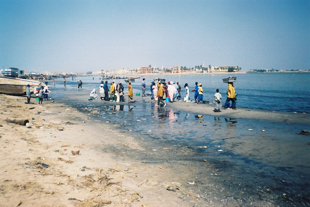
Near its mouth the river spreads into an estuarine complex. The city of Saint-Louis occupies an island in the lower river and has long been an administrative and commercial centre. The channel threads through marshes and a narrow sandspit known locally as the Langue de Barbarie, beyond which the Senegal flows into the Atlantic Ocean. In one section the main channel makes a short loop toward the south before heading west to the sea.
Large hydraulic works built in the 20th century altered natural regimes. Two notable dams are the Manantali Dam upstream, which formed a sizeable reservoir used for power and irrigation, and the Maka-Diama structure near the coast designed to block saltwater intrusion from the sea. These projects provide benefits for irrigation, electricity and flood control but also changed seasonal flooding patterns and sediment transport.
To manage competing demands and transboundary issues the riparian states created the Organisation pour la mise en valeur du fleuve Sénégal (OMVS) in 1972. This institution coordinates water use, infrastructure and development across national boundaries; Guinea became a member in 2005, reflecting the river basin's shared nature.
Uses, ecology and contemporary challenges
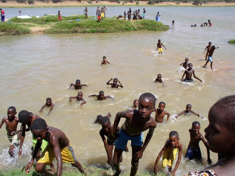
The Senegal River basin supports rice and vegetable farming, floodplain grazing, artisanal fisheries and local transport. Wetlands along the lower course provide important habitat for birds and aquatic life. At the same time the basin faces pressing challenges: salinization of soils near the coast where seawater pushes upstream, altered sediment flows due to dams, water-borne disease risks, and variability in rainfall tied to broader climate fluctuations. Navigation is possible in parts of the river but is limited by seasonal depth changes and by infrastructural bottlenecks.
Effective management of the river remains crucial for food security, livelihoods and regional cooperation. Continued attention to integrated planning, sustainable irrigation, and the preservation of floodplain ecosystems will influence how the Senegal River serves the communities and countries along its banks in coming decades.
Questions and answers
Q: What is the Senegal River?
A: The Senegal River is a river in West Africa that is 1,800 km long and serves as the border between Senegal and Mauritania.
Q: Who was Pliny the Elder?
A: Pliny the Elder was an ancient Roman author who called the Senegal River "Bambotus" (from a word meaning "hippopotamus").
Q: Where did Hanno the Carthaginian go to in about 450 BC?
A: Hanno the Carthaginian went to the Senegal River in about 450 BC when he was going from Carthage to Mount Cameroon in the Gulf of Guinea.
Q: What two rivers meet at Bafoulabé to form the Senegal River?
A: The Semefé River and Bafing River meet at Bafoulabé to form the Senegal River.
Q: What are two large dams on or near this river?
A: Two large dams on or near this river are Manantali Dam in Mali, and Maka-Diama Dam on Mauritania-Senegal border near sea.
Q: How much land does it take its water from?
A: The Senegal River takes its water from 483,181 km² of land.
Q: When did Guinea join Organisation pour la mise en valeur du fleuve Sénégal (OMVS)? A: Guinea joined Organisation pour la mise en valeur du fleuve Sénégal (OMVS) in 2005.
Related articles
Author
AlegsaOnline.com Senegal River: course, history, ecology and regional importance Leandro Alegsa
URL: https://en.alegsaonline.com/art/88829
Sources
- unesco.org : "Senegal River Basin (Guinea, Mali, Mauritania, Senegal)"