Banteay Meanchey Province, Cambodia — geography, history and economy
Banteay Meanchey is a northwestern Cambodian province on the Thai border. Its capital is Serei Saophoan. The province includes Tonlé Sap wetlands, major rivers, cross‑border trade hubs and agricultural plains.
Banteay Meanchey is a province in northwestern Cambodia. The provincial capital and administrative centre is Serei Saophoan. The name, from Khmer, is commonly translated as “fortress of victory.” The province lies along Cambodia’s border with Thailand and combines seasonally inundated floodplains linked to the Tonlé Sap system with low, generally flat agricultural land and important river corridors.
Image gallery
8 Images


Geography and natural features
Banteay Meanchey contains portions of the Tonlé Sap floodplain and associated wetlands, which are seasonally flooded and important for fisheries, waterbird habitat and traditional wetland agriculture. Two rivers commonly associated with the province are the Mongkol Borei and the Sisophon; these waterways influence irrigation, local fisheries and settlement patterns. The climate is tropical monsoon with distinct wet and dry seasons, and the flat to gently undulating terrain supports extensive rice cultivation and other crops adapted to these conditions.
History and name
The province’s Khmer name reflects historical roles as a frontier and strategic area. Over time the territory has experienced administrative change, population movements and economic links with neighbouring regions. Its location on a national border has shaped both modern history and cultural ties: communities in the province often have strong social and economic connections across the Thai–Cambodian frontier.
Administration and settlements
Administratively the province is divided into seven districts and two municipalities. The two principal urban centres are Serei Saophoan and the border town of Poipet; Poipet serves as one of the busiest land crossings with Thailand and functions as a commercial gateway where customs, logistics and cross‑border trade concentrate. Local government is organised through provincial, district and commune authorities that provide services, maintain roads and manage markets.
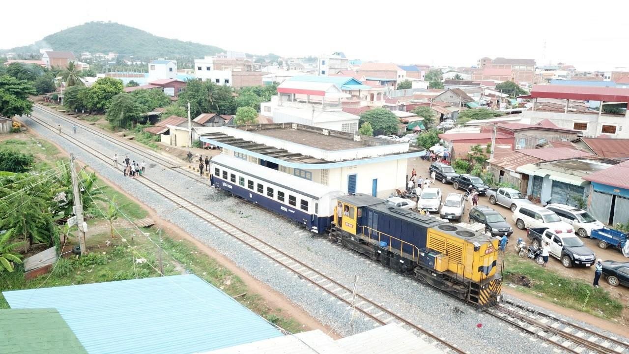
Economy, transport and society
Agriculture—especially wet‑season rice production—remains the backbone of the provincial economy, complemented by trade, services and small‑scale industry. Cross‑border commerce, labour migration to work in neighbouring countries and remittances are important sources of income for many households. Road links connect Banteay Meanchey to national transport corridors; there are also rail and freight routes that have been used intermittently for passenger and goods movements. The concentration of trade and transport activity at Poipet has encouraged services such as warehousing, logistics and hospitality.
Conservation, development and challenges
Conserving floodplain habitats of the Tonlé Sap while supporting economic development is a central challenge. Water management, sustainable fisheries, soil fertility and balancing urban expansion with agricultural land are ongoing priorities for local planners, NGOs and communities. Development pressures from cross‑border trade and increasing transport infrastructure require coordinated planning to protect livelihoods and important natural systems.
- Capital: Serei Saophoan (Sisophon).
- Border: northern and western boundary adjacent to Thailand; major crossing at Poipet.
- Natural features: Tonlé Sap floodplains; Mongkol Borei and Sisophon river corridors.
- Administration: seven districts and two municipalities, including Serei Saophoan and Poipet.
- Economy: predominantly agriculture, with significant cross‑border trade and services.
Questions and answers
Q: What is Banteay Meanchey?
A: Banteay Meanchey is a province (khaet) of Cambodia.
Q: What is the capital city of Banteay Meanchey?
A: The capital city of Banteay Meanchey is Serei Saophoan.
Q: What does Banteay Meanchey mean in Khmer?
A: Banteay Meanchey means "fortress of victory" in Khmer.
Q: What biosphere reserve is in Banteay Meanchey province?
A: The Tonlé Sap Biosphere Reserve is in Banteay Meanchey province.
Q: What are the main rivers in Banteay Meanchey province?
A: The main rivers in Banteay Meanchey province are the Mongkol Borei and the Sisophon Rivers.
Q: How many districts and municipalities is Banteay Meanchey province divided into?
A: Banteay Meanchey province is divided into 7 districts and 2 municipalities.
Q: What are the names of the municipalities in Banteay Meanchey province?
A: The names of the municipalities in Banteay Meanchey province are not provided in the given text.
Tags
Related articles
Author
AlegsaOnline.com Banteay Meanchey Province, Cambodia — geography, history and economy Leandro Alegsa
URL: https://en.alegsaonline.com/art/8805
Sources
- cambodia.gov.kh : Royal Government of Cambodia · web.archive.org
- stat.go.jp : "Index Map 1-2. Provinces and Districts in Cambodia"